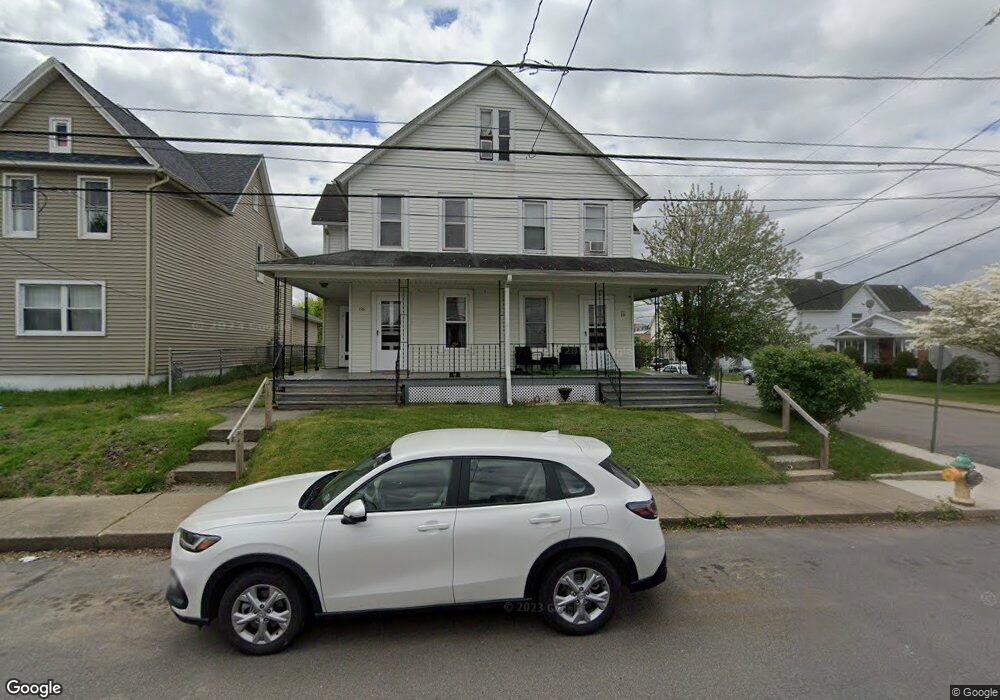
225 Church St Unit 227 Taylor, PA 18517
Estimated Value: $197,494 - $317,000
--
Bed
--
Bath
--
Sq Ft
7,928
Sq Ft Lot
About This Home
This home is located at 225 Church St Unit 227, Taylor, PA 18517 and is currently estimated at $248,374. 225 Church St Unit 227 is a home located in Lackawanna County with nearby schools including Willard Middle School, Riverside Junior/Senior High School, and Triboro Christian Academy.
Ownership History
Date
Name
Owned For
Owner Type
Purchase Details
Closed on
Mar 26, 2020
Sold by
Thomas Robert and Thomas Lynda
Bought by
Reyes Fabian A
Current Estimated Value
Home Financials for this Owner
Home Financials are based on the most recent Mortgage that was taken out on this home.
Original Mortgage
$97,155
Outstanding Balance
$86,068
Interest Rate
3.4%
Mortgage Type
New Conventional
Estimated Equity
$162,306
Purchase Details
Closed on
May 8, 1992
Bought by
Thomas Robert and Thomas Nancy
Create a Home Valuation Report for This Property
The Home Valuation Report is an in-depth analysis detailing your home's value as well as a comparison with similar homes in the area
Home Values in the Area
Average Home Value in this Area
Purchase History
| Date | Buyer | Sale Price | Title Company |
|---|---|---|---|
| Reyes Fabian A | $129,540 | None Available | |
| Thomas Robert | -- | -- |
Source: Public Records
Mortgage History
| Date | Status | Borrower | Loan Amount |
|---|---|---|---|
| Open | Reyes Fabian A | $97,155 |
Source: Public Records
Tax History Compared to Growth
Tax History
| Year | Tax Paid | Tax Assessment Tax Assessment Total Assessment is a certain percentage of the fair market value that is determined by local assessors to be the total taxable value of land and additions on the property. | Land | Improvement |
|---|---|---|---|---|
| 2025 | $2,410 | $10,000 | $0 | $10,000 |
| 2024 | $2,150 | $10,000 | $0 | $10,000 |
| 2023 | $2,150 | $10,000 | $0 | $10,000 |
| 2022 | $2,150 | $10,000 | $0 | $10,000 |
| 2021 | $2,150 | $10,000 | $0 | $10,000 |
| 2020 | $2,107 | $10,000 | $0 | $10,000 |
| 2019 | $2,007 | $10,000 | $0 | $10,000 |
| 2018 | $1,972 | $10,000 | $0 | $10,000 |
| 2017 | $1,915 | $10,000 | $0 | $10,000 |
| 2016 | $1,139 | $10,000 | $0 | $0 |
| 2015 | -- | $10,000 | $0 | $0 |
| 2014 | -- | $10,000 | $0 | $0 |
Source: Public Records
Map
Nearby Homes
- 115 W High St
- Parcel B Davis Ct
- 136 E Grove St
- 701-703 Union St
- 112 E Taylor St
- 0 Cooper St Unit GSBSC255606
- 0 Union St Unit GSBSC251501
- 0 Oak St Unit GSBSC255768
- 103 Davis St
- 448-450 N Main St
- 2932 Penman St
- 736 Oak St
- Lot 02 Sibley Ave
- 3258 Greenwood Ave
- 0 William St Unit GSBSC253642
- 3742 Laurel Ave
- 406 Kane St
- 309 Lowery St
- LOT#16 Reynolds Ave
- Lot# 7 Reynolds Ave
- 225-227 Church St
- 223 Church St
- 219 Church St
- 301 Church St
- 117 N Ridge St
- 224 Church St
- 215 Church St
- 222 Church St
- 110 N Ridge St
- 228 Church St Unit 230
- 115 N Ridge St
- 216-218 Church St
- 216 Church St Unit 218
- 304 Church St
- 111 N Ridge St
- 106 N Ridge St Unit 108
- 211 Church St
- 109 N Ridge St
- 308 Church St
- 107 N Ridge St