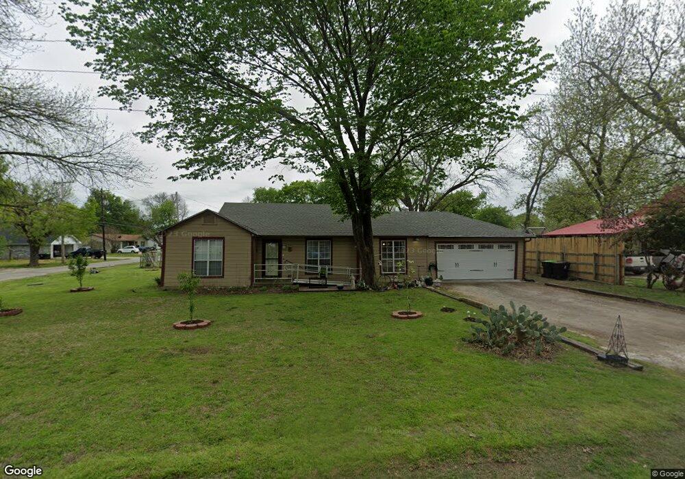
225 E White St Pilot Point, TX 76258
Estimated Value: $249,000 - $280,000
3
Beds
2
Baths
1,536
Sq Ft
$172/Sq Ft
Est. Value
About This Home
This home is located at 225 E White St, Pilot Point, TX 76258 and is currently estimated at $263,477, approximately $171 per square foot. 225 E White St is a home located in Denton County with nearby schools including Pilot Point Early Childhood Center, Pilot Point Elementary School, and Pilot Point Middle School.
Ownership History
Date
Name
Owned For
Owner Type
Purchase Details
Closed on
Jul 10, 2014
Sold by
Marr Billy
Bought by
Marr Sabine
Current Estimated Value
Home Financials for this Owner
Home Financials are based on the most recent Mortgage that was taken out on this home.
Original Mortgage
$42,900
Outstanding Balance
$32,665
Interest Rate
4.15%
Mortgage Type
Stand Alone First
Estimated Equity
$230,812
Purchase Details
Closed on
Jul 13, 1998
Sold by
Evans Edgar
Bought by
Marr Billy
Home Financials for this Owner
Home Financials are based on the most recent Mortgage that was taken out on this home.
Original Mortgage
$80,761
Interest Rate
7.05%
Mortgage Type
FHA
Purchase Details
Closed on
Mar 26, 1998
Sold by
Earley Raymond Earl and Earley Patsy Mae
Bought by
Evans Edgar
Home Financials for this Owner
Home Financials are based on the most recent Mortgage that was taken out on this home.
Original Mortgage
$30,000
Interest Rate
7.12%
Create a Home Valuation Report for This Property
The Home Valuation Report is an in-depth analysis detailing your home's value as well as a comparison with similar homes in the area
Home Values in the Area
Average Home Value in this Area
Purchase History
| Date | Buyer | Sale Price | Title Company |
|---|---|---|---|
| Marr Sabine | -- | None Available | |
| Marr Billy | -- | -- | |
| Evans Edgar | -- | -- |
Source: Public Records
Mortgage History
| Date | Status | Borrower | Loan Amount |
|---|---|---|---|
| Open | Marr Sabine | $42,900 | |
| Closed | Marr Billy | $80,761 | |
| Previous Owner | Evans Edgar | $30,000 |
Source: Public Records
Tax History
| Year | Tax Paid | Tax Assessment Tax Assessment Total Assessment is a certain percentage of the fair market value that is determined by local assessors to be the total taxable value of land and additions on the property. | Land | Improvement |
|---|---|---|---|---|
| 2025 | $817 | $177,000 | $81,000 | $96,000 |
| 2024 | $3,337 | $185,338 | $0 | $0 |
| 2023 | $817 | $168,489 | $81,000 | $123,548 |
| 2022 | $3,149 | $153,172 | $66,000 | $115,290 |
| 2021 | $2,873 | $164,180 | $66,000 | $98,180 |
| 2020 | $2,630 | $126,588 | $32,400 | $94,188 |
| 2019 | $2,607 | $121,685 | $32,400 | $89,285 |
| 2018 | $2,453 | $113,055 | $29,400 | $83,655 |
| 2017 | $2,269 | $104,308 | $27,600 | $79,422 |
| 2016 | $1,560 | $94,825 | $22,200 | $72,625 |
| 2015 | $1,555 | $88,433 | $22,200 | $66,233 |
| 2013 | -- | $70,000 | $21,600 | $48,400 |
Source: Public Records
Map
Nearby Homes
- 417 S Prairie St
- 508 S Pedigo St
- 2431 Poinsettia Dr
- 2437 Poinsettia Dr
- 827 Snowdrop Dr
- 834 Snowdrop Dr
- 826 Snowdrop Dr
- 400 S Washington St
- 111 E Liberty St
- 515 E Liberty St
- 504 S Kirby St
- 400 E Liberty St
- 408 E Liberty St
- 517 S Kirby St
- 106 W Main St
- 1001 S Highway 377
- 1001 U S 377
- TBD W Clifton St
- 216 & 220 E Walcott St
- 405 W Clifton St
- 510 S Prairie St
- 217 E White St
- 301 E White St
- 424 S Prairie St
- White E White St
- 513 S Prairie St
- 516 S Prairie St
- 209 E White St
- 427 S Prairie St
- 305 E White St
- 216 E White St
- 309 E White St
- 517 S Prairie St
- 416 S Prairie St
- 423 S Prairie St
- 524 S Prairie St
- 201 E White St
- 102 E White St
- 216 E Mckinney St
- 509 S Church St
Your Personal Tour Guide
Ask me questions while you tour the home.