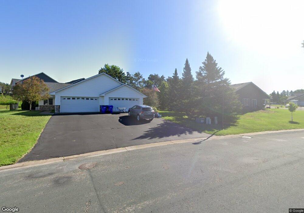
225 Evergreen Dr Unit 31 Somerset, WI 54025
Estimated Value: $294,416 - $335,000
2
Beds
2
Baths
1,300
Sq Ft
$241/Sq Ft
Est. Value
About This Home
This home is located at 225 Evergreen Dr Unit 31, Somerset, WI 54025 and is currently estimated at $312,854, approximately $240 per square foot. 225 Evergreen Dr Unit 31 is a home located in St. Croix County with nearby schools including Somerset Elementary School, Somerset Middle School, and Somerset High School.
Ownership History
Date
Name
Owned For
Owner Type
Purchase Details
Closed on
Apr 8, 2019
Sold by
Powers William F and Powers Pamela J
Bought by
Powers Daniel J and Larson Katherine A
Current Estimated Value
Purchase Details
Closed on
Oct 19, 2011
Sold by
Simonson Lois F
Bought by
Powers William F and Powers Pamela J
Purchase Details
Closed on
Aug 30, 2005
Sold by
Rivard Aaron W
Bought by
Simmons Lois F
Create a Home Valuation Report for This Property
The Home Valuation Report is an in-depth analysis detailing your home's value as well as a comparison with similar homes in the area
Home Values in the Area
Average Home Value in this Area
Purchase History
| Date | Buyer | Sale Price | Title Company |
|---|---|---|---|
| Powers Daniel J | -- | None Available | |
| Powers William F | $70,948 | None Available | |
| Simmons Lois F | $160,000 | None Available |
Source: Public Records
Tax History Compared to Growth
Tax History
| Year | Tax Paid | Tax Assessment Tax Assessment Total Assessment is a certain percentage of the fair market value that is determined by local assessors to be the total taxable value of land and additions on the property. | Land | Improvement |
|---|---|---|---|---|
| 2024 | $33 | $192,000 | $30,000 | $162,000 |
| 2023 | $3,199 | $192,000 | $30,000 | $162,000 |
| 2022 | $3,047 | $192,000 | $30,000 | $162,000 |
| 2021 | $3,088 | $192,000 | $30,000 | $162,000 |
| 2020 | $2,240 | $192,000 | $30,000 | $162,000 |
| 2019 | $2,377 | $98,500 | $11,500 | $87,000 |
| 2018 | $2,241 | $98,500 | $11,500 | $87,000 |
| 2017 | $2,191 | $98,500 | $11,500 | $87,000 |
| 2016 | $2,191 | $98,500 | $11,500 | $87,000 |
| 2015 | $2,174 | $98,500 | $11,500 | $87,000 |
| 2014 | $2,122 | $98,500 | $11,500 | $87,000 |
| 2013 | $2,128 | $98,500 | $11,500 | $87,000 |
Source: Public Records
Map
Nearby Homes
- 441 White Pine Ln
- 206 Red Pine Dr
- 316 Evergreen Dr
- 441 Charles Ln
- 481 Martin Way
- 315 Harriman St
- 357 Harriman St
- 325 Church Hill Rd
- 1932 64th St
- The Rockport Plan at Pine Vale
- The Newport Plan at Pine Vale
- The Brook View Plan at Pine Vale
- The Cheyenne Plan at Pine Vale
- The Ashton Plan at Pine Vale
- The Waverly Plan at Pine Vale
- The Mulbery Plan at Pine Vale
- The Primrose Plan at Pine Vale
- The Water Stone Plan at Pine Vale
- 270 Main St
- 302 Main St
- 227 Evergreen Dr
- 443 White Pine Ln
- 231 Evergreen Dr
- 264 Harriman St
- 266 Harriman St
- 260 Harriman St
- 233 Evergreen Dr
- 233 Evergreen Dr Unit 34
- 447 White Pine Ln
- 270 Harriman St
- 264-266 Harriman St
- 258 Harriman St
- 258-260 Harriman St
- 230 Harriman St
- 272 Harriman St
- 237 Evergreen Dr
- 449 White Pine Ln
- 445 White Pine Ln
- 254 Harriman St
- 220 Evergreen Dr