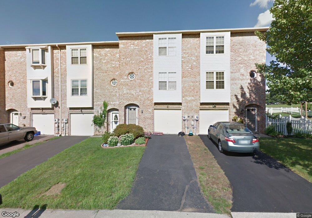
225 Flint Hill Rd Alburtis, PA 18011
Lower Macungie Township West NeighborhoodEstimated Value: $296,000 - $328,000
3
Beds
2
Baths
1,956
Sq Ft
$158/Sq Ft
Est. Value
About This Home
This home is located at 225 Flint Hill Rd, Alburtis, PA 18011 and is currently estimated at $309,998, approximately $158 per square foot. 225 Flint Hill Rd is a home located in Lehigh County with nearby schools including Alburtis Elementary School, Lower Macungie Middle School, and Emmaus High School.
Ownership History
Date
Name
Owned For
Owner Type
Purchase Details
Closed on
Mar 28, 2007
Sold by
Frankenfield Douglas C
Bought by
Frankenfield Amanda E
Current Estimated Value
Purchase Details
Closed on
Oct 22, 2003
Sold by
Desmond William P
Bought by
Frankenfield Amanda E and Frankenfield Douglas C
Home Financials for this Owner
Home Financials are based on the most recent Mortgage that was taken out on this home.
Original Mortgage
$118,044
Interest Rate
6.01%
Mortgage Type
FHA
Purchase Details
Closed on
Jan 30, 1992
Sold by
Hornstein Enterprises Inc
Bought by
Desmond William P
Purchase Details
Closed on
Aug 14, 1990
Bought by
Hornstein Enterprises Inc
Create a Home Valuation Report for This Property
The Home Valuation Report is an in-depth analysis detailing your home's value as well as a comparison with similar homes in the area
Home Values in the Area
Average Home Value in this Area
Purchase History
| Date | Buyer | Sale Price | Title Company |
|---|---|---|---|
| Frankenfield Amanda E | $112,855 | -- | |
| Frankenfield Amanda E | $119,000 | -- | |
| Desmond William P | $89,200 | -- | |
| Hornstein Enterprises Inc | $708,500 | -- |
Source: Public Records
Mortgage History
| Date | Status | Borrower | Loan Amount |
|---|---|---|---|
| Previous Owner | Frankenfield Amanda E | $118,044 |
Source: Public Records
Tax History Compared to Growth
Tax History
| Year | Tax Paid | Tax Assessment Tax Assessment Total Assessment is a certain percentage of the fair market value that is determined by local assessors to be the total taxable value of land and additions on the property. | Land | Improvement |
|---|---|---|---|---|
| 2025 | $3,864 | $131,600 | $9,300 | $122,300 |
| 2024 | $3,765 | $131,600 | $9,300 | $122,300 |
| 2023 | $3,591 | $131,600 | $9,300 | $122,300 |
| 2022 | $3,516 | $131,600 | $122,300 | $9,300 |
| 2021 | $3,449 | $131,600 | $9,300 | $122,300 |
| 2020 | $3,420 | $131,600 | $9,300 | $122,300 |
| 2019 | $3,402 | $131,600 | $9,300 | $122,300 |
| 2018 | $3,363 | $131,600 | $9,300 | $122,300 |
| 2017 | $3,312 | $131,600 | $9,300 | $122,300 |
| 2016 | -- | $131,600 | $9,300 | $122,300 |
| 2015 | -- | $131,600 | $9,300 | $122,300 |
| 2014 | -- | $131,600 | $9,300 | $122,300 |
Source: Public Records
Map
Nearby Homes
- 241 Flint Hill Rd
- 354 W 2nd St
- 121 S Main St Unit 123
- 3371 Mathews Ln
- 428 Thomas St
- 317 Lockridge Ln
- 31 Barbara Dr
- 8312 Mertztown Rd
- 8975 Mertztown Rd
- 1108 S Barbara Dr
- 7318 Sauerkraut Ln Unit E
- 1716 Brookstone Dr
- 8051 Heritage Dr
- 7528 Buttercup Rd
- 7699 Catalpa Dr
- 7687 Catalpa Dr
- 1649 Thorndale Rd
- 1649 Thorndale Rd Unit LOT 70
- 1702 Windmill Ln
- 0 Clauss Hunt Knight Dr Unit 10 Units 763578
- 223 Flint Hill Rd
- 227 Flint Hill Rd
- 221 Flint Hill Rd
- 229 Flint Hill Rd
- 217 Flint Hill Rd
- 231 Flint Hill Rd
- 233 Flint Hill Rd
- 320 Moty Dr
- 215 Flint Hill Rd
- 321 Moty Dr
- 235 Flint Hill Rd
- 322 Moty Dr
- 213 Flint Hill Rd
- 324 Moty Dr
- 323 Moty Dr
- 211 Flint Hill Rd
- 325 Moty Dr
- 326 Moty Dr
- 237 Flint Hill Rd
- 327 Moty Dr