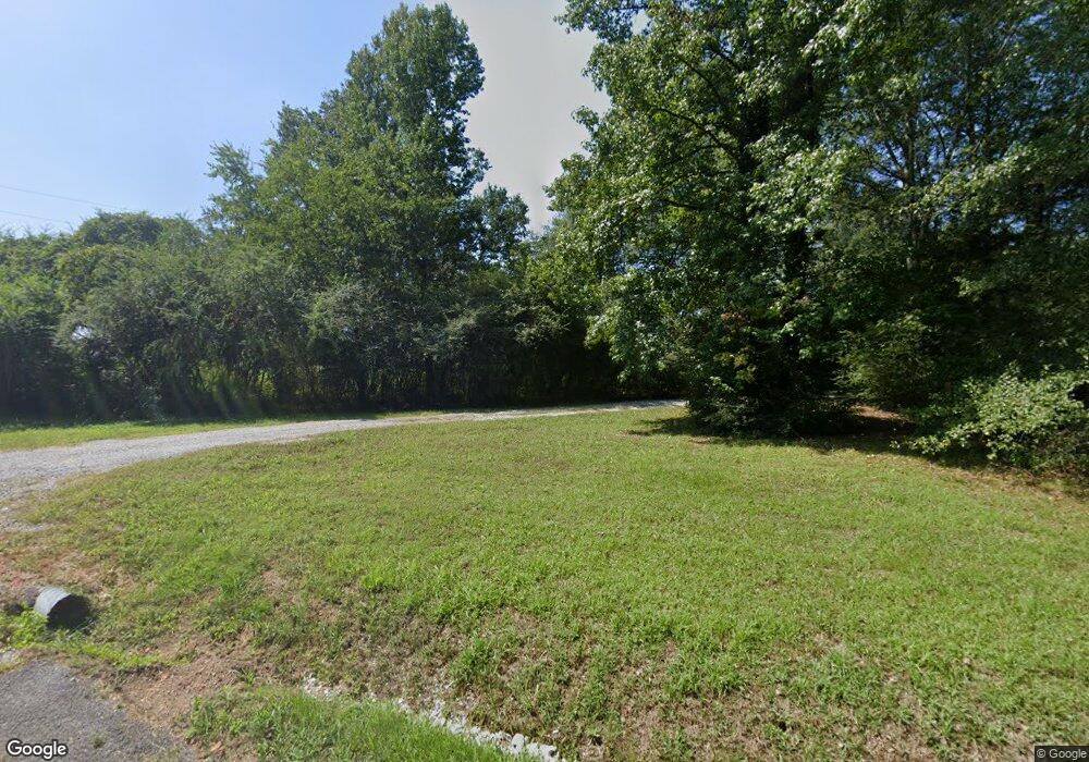
Estimated Value: $471,000 - $549,000
--
Bed
1
Bath
3,019
Sq Ft
$171/Sq Ft
Est. Value
About This Home
This home is located at 225 Hillside Dr, Arab, AL 35016 and is currently estimated at $516,728, approximately $171 per square foot. 225 Hillside Dr is a home located in Marshall County with nearby schools including Brindlee Mountain Elementary School, Brindlee Mountain Primary School, and Brindlee Mt Middle School.
Ownership History
Date
Name
Owned For
Owner Type
Purchase Details
Closed on
Dec 16, 2024
Sold by
Duvillah Thomas James and Duvillah Candice
Bought by
Tengowski Ronald Stanley and Tengowski Trenton Lauren
Current Estimated Value
Home Financials for this Owner
Home Financials are based on the most recent Mortgage that was taken out on this home.
Original Mortgage
$188,000
Outstanding Balance
$186,521
Interest Rate
6.79%
Mortgage Type
New Conventional
Estimated Equity
$330,207
Purchase Details
Closed on
Sep 7, 2016
Sold by
Mccauley Sheila Stewart and Mccauley Michael Ray
Bought by
Dawicki Marybeth H and Dawicki Joe
Home Financials for this Owner
Home Financials are based on the most recent Mortgage that was taken out on this home.
Original Mortgage
$60,000
Interest Rate
3.48%
Mortgage Type
New Conventional
Purchase Details
Closed on
May 21, 2007
Sold by
Stewart Jared S
Bought by
Stewart Michael E and Stewart Shelia A
Create a Home Valuation Report for This Property
The Home Valuation Report is an in-depth analysis detailing your home's value as well as a comparison with similar homes in the area
Home Values in the Area
Average Home Value in this Area
Purchase History
| Date | Buyer | Sale Price | Title Company |
|---|---|---|---|
| Tengowski Ronald Stanley | $485,000 | None Listed On Document | |
| Dawicki Marybeth H | $249,900 | None Available | |
| Stewart Michael E | $1,000 | None Available |
Source: Public Records
Mortgage History
| Date | Status | Borrower | Loan Amount |
|---|---|---|---|
| Open | Tengowski Ronald Stanley | $188,000 | |
| Previous Owner | Dawicki Marybeth H | $60,000 |
Source: Public Records
Tax History Compared to Growth
Tax History
| Year | Tax Paid | Tax Assessment Tax Assessment Total Assessment is a certain percentage of the fair market value that is determined by local assessors to be the total taxable value of land and additions on the property. | Land | Improvement |
|---|---|---|---|---|
| 2024 | $1,906 | $48,840 | $0 | $0 |
| 2023 | $1,779 | $46,520 | $0 | $0 |
| 2022 | $2,453 | $65,400 | $0 | $0 |
| 2021 | $2,284 | $60,900 | $0 | $0 |
| 2020 | $1,940 | $51,740 | $0 | $0 |
| 2017 | $888 | $25,080 | $0 | $0 |
| 2015 | -- | $20,320 | $0 | $0 |
| 2014 | -- | $20,320 | $0 | $0 |
Source: Public Records
Map
Nearby Homes
- 121 Dempsey Ct
- 77 Temple Crossing
- 3629 Eddy Scant City Rd
- 252 Temple Crossing
- 300 Temple Crossing
- 2495 Eddy Scant City Rd
- 140 Mayberry Ln
- 3582 Friendship Rd
- 396 Maple Cir
- 100 Maple Cir
- 326 Mayberry Ln
- 417 Dodd Rd
- 233 Twin Lakes Dr
- 289 Belair Dr
- 280 Briarwood Dr
- 247 Scant City Rd
- 6981 Brashiers Chapel Rd
- 1392 Locust Dr NE
- 803 Mobb Hill Rd
- 1950 Friendship Rd
- 10.14 acres Hillside Dr
- 0 Hillside Dr Unit 1130026
- 6 Hillside Dr
- 3 Hillside Dr
- 310 Hillside Dr
- 332 Hillside Dr
- 155 Hillside Dr
- 421 Hillside Dr
- 350 Hillside Dr
- 333 Gentry Rd
- 400 Hillside Dr
- 404 Hillside Dr
- 301 Gentry Rd
- 480 Hillside Dr
- 103 Hillside Dr
- 514 Hillside Dr
- 3131 Eddy Scant City Rd
- 202 Hillside Dr
- 65 Hillside Dr
- 3175 Eddy Scant City Rd
