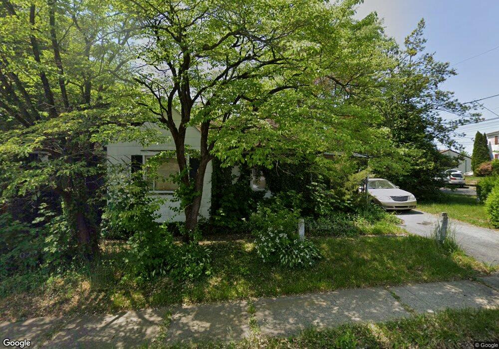
225 Jefferson St Pottstown, PA 19464
Estimated Value: $135,000 - $243,000
1
Bed
1
Bath
448
Sq Ft
$427/Sq Ft
Est. Value
About This Home
This home is located at 225 Jefferson St, Pottstown, PA 19464 and is currently estimated at $191,430, approximately $427 per square foot. 225 Jefferson St is a home located in Montgomery County with nearby schools including Lower Pottsgrove Elementary School, Pottsgrove Middle School, and Pottsgrove Senior High School.
Ownership History
Date
Name
Owned For
Owner Type
Purchase Details
Closed on
Aug 30, 2006
Sold by
Oplinger Clarence C and Oplinger Betty R
Bought by
Kozuch Eugene G
Current Estimated Value
Home Financials for this Owner
Home Financials are based on the most recent Mortgage that was taken out on this home.
Original Mortgage
$52,780
Outstanding Balance
$31,765
Interest Rate
6.71%
Estimated Equity
$159,665
Create a Home Valuation Report for This Property
The Home Valuation Report is an in-depth analysis detailing your home's value as well as a comparison with similar homes in the area
Home Values in the Area
Average Home Value in this Area
Purchase History
| Date | Buyer | Sale Price | Title Company |
|---|---|---|---|
| Kozuch Eugene G | $60,000 | None Available |
Source: Public Records
Mortgage History
| Date | Status | Borrower | Loan Amount |
|---|---|---|---|
| Open | Kozuch Eugene G | $52,780 |
Source: Public Records
Tax History Compared to Growth
Tax History
| Year | Tax Paid | Tax Assessment Tax Assessment Total Assessment is a certain percentage of the fair market value that is determined by local assessors to be the total taxable value of land and additions on the property. | Land | Improvement |
|---|---|---|---|---|
| 2025 | $2,589 | $53,880 | $34,430 | $19,450 |
| 2024 | $2,589 | $53,880 | $34,430 | $19,450 |
| 2023 | $2,506 | $53,880 | $34,430 | $19,450 |
| 2022 | $2,467 | $53,880 | $34,430 | $19,450 |
| 2021 | $2,431 | $53,880 | $34,430 | $19,450 |
| 2020 | $2,395 | $53,880 | $34,430 | $19,450 |
| 2019 | $2,382 | $53,880 | $34,430 | $19,450 |
| 2018 | $2,382 | $53,880 | $34,430 | $19,450 |
| 2017 | $2,374 | $53,880 | $34,430 | $19,450 |
| 2016 | $2,353 | $53,880 | $34,430 | $19,450 |
| 2015 | $2,272 | $53,880 | $34,430 | $19,450 |
| 2014 | $2,272 | $53,880 | $34,430 | $19,450 |
Source: Public Records
Map
Nearby Homes
- 601 W High St
- 501 and 507 E Race St
- 530 E Howard St
- 536 & 538 W Vine St
- 703 Holly Dr
- 160 Linden St Unit 69
- 8 Ryan St
- 104 Pulaski St
- 356 W Beech St Unit 160
- 25 Random Rd
- 94 Random Rd
- 145 Random Rd
- 150 Random Rd
- 86 Westin Rd
- 131 Squirrel Hollow Rd
- 39 Westin Rd
- 1209 Grosstown Rd
- 0 Squirrel Hollow Rd
- 377 Circle of Progress Dr
- 60 W 3rd St