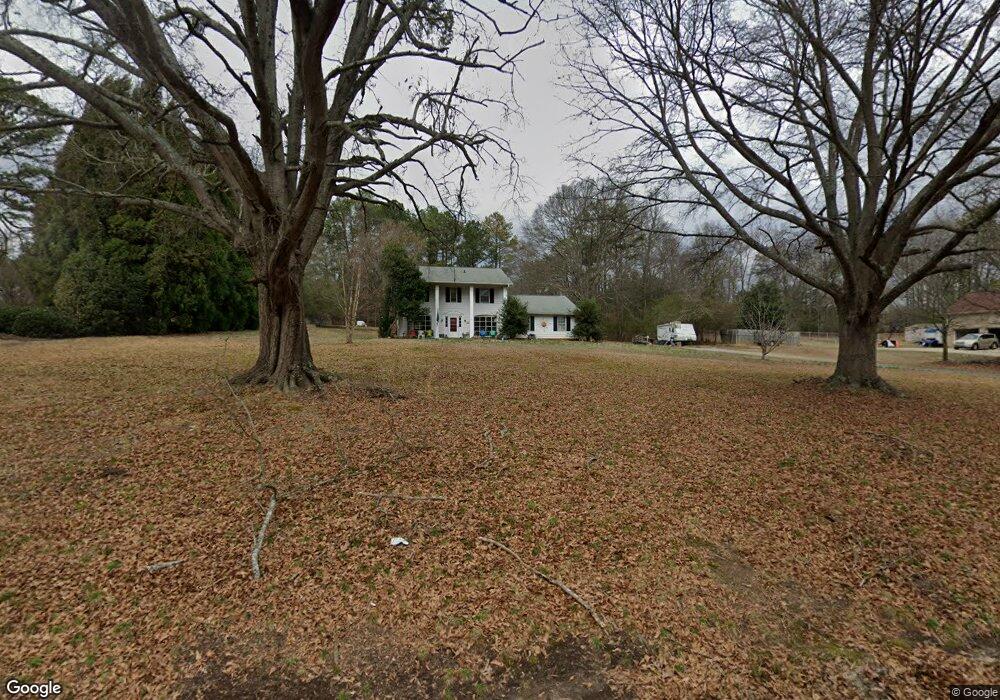
225 Mansfield Dr Spartanburg, SC 29307
Estimated Value: $291,000 - $348,265
5
Beds
3
Baths
1,992
Sq Ft
$163/Sq Ft
Est. Value
About This Home
This home is located at 225 Mansfield Dr, Spartanburg, SC 29307 and is currently estimated at $323,816, approximately $162 per square foot. 225 Mansfield Dr is a home located in Spartanburg County with nearby schools including Broome High School, Spartanburg Day School, and Westminster Day School.
Ownership History
Date
Name
Owned For
Owner Type
Purchase Details
Closed on
Apr 24, 2006
Sold by
Bryant Donald Lankford and Bryant Luann E
Bought by
Harrill Lara Pettiss
Current Estimated Value
Home Financials for this Owner
Home Financials are based on the most recent Mortgage that was taken out on this home.
Original Mortgage
$110,400
Outstanding Balance
$63,150
Interest Rate
6.28%
Mortgage Type
New Conventional
Estimated Equity
$260,666
Create a Home Valuation Report for This Property
The Home Valuation Report is an in-depth analysis detailing your home's value as well as a comparison with similar homes in the area
Home Values in the Area
Average Home Value in this Area
Purchase History
| Date | Buyer | Sale Price | Title Company |
|---|---|---|---|
| Harrill Lara Pettiss | $138,000 | None Available |
Source: Public Records
Mortgage History
| Date | Status | Borrower | Loan Amount |
|---|---|---|---|
| Open | Harrill Lara Pettiss | $110,400 |
Source: Public Records
Tax History Compared to Growth
Tax History
| Year | Tax Paid | Tax Assessment Tax Assessment Total Assessment is a certain percentage of the fair market value that is determined by local assessors to be the total taxable value of land and additions on the property. | Land | Improvement |
|---|---|---|---|---|
| 2025 | $1,958 | $9,485 | $2,226 | $7,259 |
| 2024 | $1,958 | $9,485 | $2,226 | $7,259 |
| 2023 | $1,958 | $9,485 | $2,226 | $7,259 |
| 2022 | $1,673 | $8,248 | $1,810 | $6,438 |
| 2021 | $1,673 | $8,248 | $1,810 | $6,438 |
| 2020 | $1,649 | $8,248 | $1,810 | $6,438 |
| 2019 | $1,649 | $8,248 | $1,810 | $6,438 |
| 2018 | $1,649 | $8,248 | $1,810 | $6,438 |
| 2017 | $1,355 | $7,172 | $2,000 | $5,172 |
| 2016 | $1,355 | $7,172 | $2,000 | $5,172 |
| 2015 | $1,278 | $7,172 | $2,000 | $5,172 |
| 2014 | $1,273 | $7,172 | $2,000 | $5,172 |
Source: Public Records
Map
Nearby Homes
- 276 Saranac Dr
- 268 Saranac Dr
- 9015 Margot Place
- 9007 Margot Place
- 9003 Margot Place
- 8007 Broadmead Ct
- 8019 Broadmead Ct
- 8023 Broadmead Ct
- 250 Leeds Ln
- 270 Leeds Ln
- Oriole Plan at Crestview
- Raven Plan at Crestview
- Longspur Plan at Crestview
- Goldcrest Plan at Crestview
- 8010 Broadmead Ct
- 9019 Margot Place
- 8018 Broadmead Ct
- 8014 Broadmead Ct
- 8022 Broadmead Ct
- 8026 Broadmead Ct
- 231 Mansfield Dr
- 221 Mansfield Dr
- 237 Mansfield Dr
- 224 Mansfield Dr
- 228 Mansfield Dr
- 220 Mansfield Dr
- 234 Mansfield Dr
- 211 Mansfield Dr
- 216 Mansfield Dr
- 243 Mansfield Dr
- 212 Mansfield Dr
- 236 Mansfield Dr
- 481 Saranac Dr
- 208 Mansfield Dr
- 491 Saranac Dr
- 205 Mansfield Dr
- 247 Mansfield Dr
- 238 Mansfield Dr
- 204 Mansfield Dr
- 455 Saranac Dr