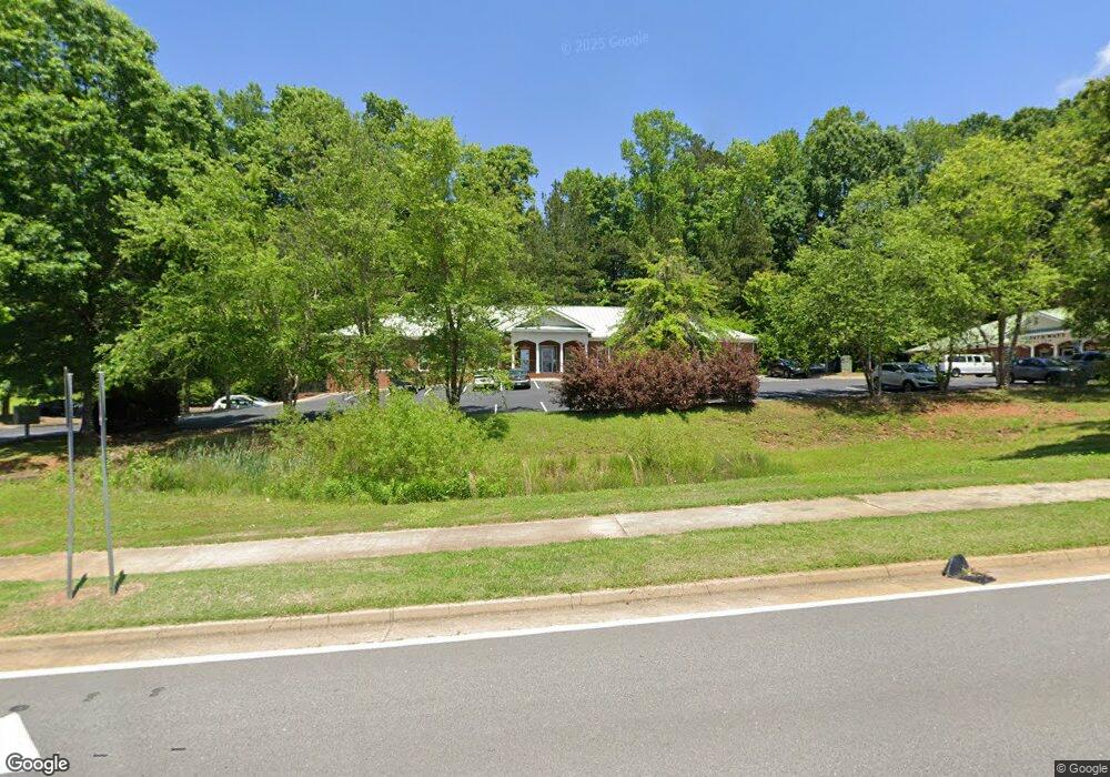
225 Millard Farmer Ind Blvd Unit BLDG D Newnan, GA 30263
Estimated Value: $982,000
--
Bed
2
Baths
10,828
Sq Ft
$91/Sq Ft
Est. Value
About This Home
This home is located at 225 Millard Farmer Ind Blvd Unit BLDG D, Newnan, GA 30263 and is currently priced at $982,000, approximately $90 per square foot. 225 Millard Farmer Ind Blvd Unit BLDG D is a home located in Coweta County with nearby schools including Jefferson Parkway Elementary School, Evans Middle School, and Newnan High School.
Ownership History
Date
Name
Owned For
Owner Type
Purchase Details
Closed on
Nov 19, 2003
Sold by
R & T Dev Corp
Bought by
Ptrshp Reed G and Ptrshp Tim
Current Estimated Value
Home Financials for this Owner
Home Financials are based on the most recent Mortgage that was taken out on this home.
Original Mortgage
$925,000
Interest Rate
6.07%
Mortgage Type
Commercial
Purchase Details
Closed on
Jan 4, 1989
Bought by
Lewis Development Co
Create a Home Valuation Report for This Property
The Home Valuation Report is an in-depth analysis detailing your home's value as well as a comparison with similar homes in the area
Home Values in the Area
Average Home Value in this Area
Purchase History
| Date | Buyer | Sale Price | Title Company |
|---|---|---|---|
| Ptrshp Reed G | $335,000 | -- | |
| Lewis Development Co | $87,800 | -- |
Source: Public Records
Mortgage History
| Date | Status | Borrower | Loan Amount |
|---|---|---|---|
| Closed | Ptrshp Reed G | $925,000 |
Source: Public Records
Tax History Compared to Growth
Tax History
| Year | Tax Paid | Tax Assessment Tax Assessment Total Assessment is a certain percentage of the fair market value that is determined by local assessors to be the total taxable value of land and additions on the property. | Land | Improvement |
|---|---|---|---|---|
| 2024 | $9,736 | $426,104 | $40,320 | $385,784 |
| 2023 | $9,736 | $458,992 | $81,200 | $377,792 |
| 2022 | $11,167 | $458,992 | $81,200 | $377,792 |
| 2021 | $12,336 | $458,992 | $81,200 | $377,792 |
| 2020 | $12,614 | $458,992 | $81,200 | $377,792 |
| 2019 | $13,936 | $463,922 | $81,200 | $382,722 |
| 2018 | $14,020 | $463,922 | $81,200 | $382,722 |
| 2017 | $13,959 | $463,922 | $81,200 | $382,722 |
| 2016 | $13,969 | $463,922 | $81,200 | $382,722 |
| 2015 | $13,992 | $463,922 | $81,200 | $382,722 |
| 2014 | $12,007 | $463,922 | $81,200 | $382,722 |
Source: Public Records
Map
Nearby Homes
- 6 Lynn Cir
- 7 Red Bud Trail
- 1015 Wahoo Hills
- 10 Evan Ct
- 8 Hardin Ct Unit LOT 16
- 17 Cloverhurst Dr Unit LOT 14
- 15 Cloverhurst Dr Unit LOT 15
- 367 Old Atlanta Hwy Unit LOT 4
- 371 Old Atlanta Hwy Unit LOT 5
- 21 Mill Ridge Place
- 19 Harpers Farm Dr
- 11 Main St
- 2 Casey Rd
- 4 Casey Rd
- 6 Casey Rd
- 3 Casey Rd
- 7 Casey Rd
- 21 Riva Ridge Ln
- 350 Brentwood Dr Unit 25
- 380 Brentwood Dr Unit 28
- 225 Millard Farmer Ind Blvd Unit ST 200 B
- 225 Millard Farmer Ind Blvd
- 9 Hawthorne Dr
- 7 Hawthorne Dr
- 11 Hawthorne Dr
- 5 Hawthorne Dr
- 6 Hawthorne Dr
- 8 Hawthorne Dr
- 13 Hawthorne Dr
- 10 Hawthorne Dr
- 2 Hawthorne Dr
- 3 Hawthorne Dr
- 23 Red Bud Trail
- 12 Hawthorne Dr
- 15 Hawthorne Dr
- 25 Red Bud Trail
- 0 Farmer Commercial Park Dr Unit LOT 5 7238465
- 0 Farmer Commercial Park Dr Unit LOT 4 7238460
- 0 Farmer Commercial Park Dr Unit LOT 3 7238434
- 0 Farmer Commercial Park Dr Unit LOT 6 7238423