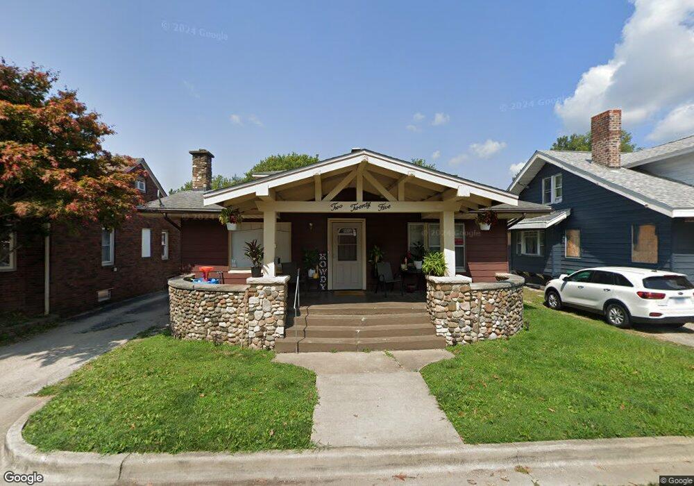
225 N Haworth Ave Decatur, IL 62522
Millikin Home NeighborhoodEstimated Value: $66,301 - $86,000
4
Beds
2
Baths
2,712
Sq Ft
$28/Sq Ft
Est. Value
About This Home
This home is located at 225 N Haworth Ave, Decatur, IL 62522 and is currently estimated at $75,575, approximately $27 per square foot. 225 N Haworth Ave is a home located in Macon County with nearby schools including Dennis Lab School, St. Patrick School, and Teen Challenge-Home For Girls.
Ownership History
Date
Name
Owned For
Owner Type
Purchase Details
Closed on
Sep 13, 2013
Sold by
Jpmorgan Chase Bank Na
Bought by
R Woodlands Properties Llc
Current Estimated Value
Purchase Details
Closed on
Sep 1, 2013
Purchase Details
Closed on
Mar 23, 2013
Sold by
Majors Charles O and Majors Karen S
Bought by
Jpmorgan Chase Bank Na
Purchase Details
Closed on
Feb 1, 1999
Create a Home Valuation Report for This Property
The Home Valuation Report is an in-depth analysis detailing your home's value as well as a comparison with similar homes in the area
Home Values in the Area
Average Home Value in this Area
Purchase History
| Date | Buyer | Sale Price | Title Company |
|---|---|---|---|
| R Woodlands Properties Llc | $16,500 | None Available | |
| -- | $16,300 | -- | |
| Jpmorgan Chase Bank Na | -- | None Available | |
| -- | $27,000 | -- |
Source: Public Records
Tax History Compared to Growth
Tax History
| Year | Tax Paid | Tax Assessment Tax Assessment Total Assessment is a certain percentage of the fair market value that is determined by local assessors to be the total taxable value of land and additions on the property. | Land | Improvement |
|---|---|---|---|---|
| 2024 | $1,257 | $18,989 | $1,911 | $17,078 |
| 2023 | $1,823 | $18,316 | $1,843 | $16,473 |
| 2022 | $870 | $8,510 | $1,619 | $6,891 |
| 2021 | $818 | $7,947 | $1,512 | $6,435 |
| 2020 | $806 | $7,579 | $1,442 | $6,137 |
| 2019 | $806 | $7,579 | $1,442 | $6,137 |
| 2018 | $799 | $7,604 | $1,447 | $6,157 |
| 2017 | $818 | $7,807 | $1,486 | $6,321 |
| 2016 | $833 | $7,886 | $1,501 | $6,385 |
| 2015 | $792 | $7,746 | $1,474 | $6,272 |
| 2014 | $735 | $7,669 | $1,459 | $6,210 |
| 2013 | $623 | $7,957 | $1,514 | $6,443 |
Source: Public Records
Map
Nearby Homes
- 958 W William St
- 1005 W Main St
- 899 W Main St
- 254 N Pine St
- 717 W Prairie Ave Unit 2
- 609 W William St
- 657 W Wood St
- 612 W Macon St
- 1065 W Green St
- 441 S Seigel St
- 452 W Prairie Ave
- 442 W Prairie Ave
- 617 W Decatur St
- 422 W William St
- 875 N Monroe St
- 233 N Edward St
- 450 W Macon St
- 366 W Prairie Ave
- 628 W Forest Ave
- 440 W Macon St
- 227 N Haworth Ave
- 217 N Haworth Ave
- 1004 W Prairie Ave
- 1010 W Prairie Ave
- 237 N Haworth Ave
- 1016 W Prairie Ave
- 238 N Haworth Ave
- 245 N Haworth Ave
- 222 N Haworth Ave Unit 8
- 222 N Haworth Ave Unit 2
- 222 N Haworth Ave Unit 6
- 222 N Haworth Ave Unit 9
- 222 N Haworth Ave Unit 10
- 222 N Haworth Ave Unit 3
- 222 N Haworth Ave Unit 4
- 222 N Haworth Ave
- 222 N Haworth Ave Unit 7
- 1020 W Prairie Ave
- 7 Millikin Place
- 1005 W Prairie Ave