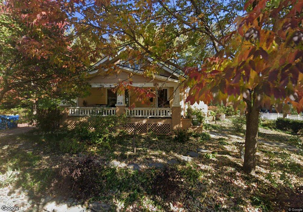
225 N Leonard St Liberty, MO 64068
Estimated Value: $307,274 - $377,000
2
Beds
3
Baths
2,474
Sq Ft
$138/Sq Ft
Est. Value
About This Home
This home is located at 225 N Leonard St, Liberty, MO 64068 and is currently estimated at $342,319, approximately $138 per square foot. 225 N Leonard St is a home located in Clay County with nearby schools including Franklin Elementary School, Heritage Middle School, and Liberty North High School.
Ownership History
Date
Name
Owned For
Owner Type
Purchase Details
Closed on
May 3, 2011
Sold by
Ray Joe Bill
Bought by
Willoughby Sharon D
Current Estimated Value
Purchase Details
Closed on
Jul 17, 2003
Sold by
Eggleston Scott T and Eggleston Laura A
Bought by
Ray Joe B and Willoughby Ray Sharon D
Home Financials for this Owner
Home Financials are based on the most recent Mortgage that was taken out on this home.
Original Mortgage
$100,000
Interest Rate
5.19%
Mortgage Type
Purchase Money Mortgage
Create a Home Valuation Report for This Property
The Home Valuation Report is an in-depth analysis detailing your home's value as well as a comparison with similar homes in the area
Home Values in the Area
Average Home Value in this Area
Purchase History
| Date | Buyer | Sale Price | Title Company |
|---|---|---|---|
| Willoughby Sharon D | -- | None Available | |
| Ray Joe B | -- | First American Title Ins Co |
Source: Public Records
Mortgage History
| Date | Status | Borrower | Loan Amount |
|---|---|---|---|
| Previous Owner | Ray Joe B | $100,000 |
Source: Public Records
Tax History
| Year | Tax Paid | Tax Assessment Tax Assessment Total Assessment is a certain percentage of the fair market value that is determined by local assessors to be the total taxable value of land and additions on the property. | Land | Improvement |
|---|---|---|---|---|
| 2025 | $3,165 | $46,680 | -- | -- |
| 2024 | $3,165 | $41,150 | -- | -- |
| 2023 | $3,219 | $41,150 | $0 | $0 |
| 2022 | $2,821 | $35,610 | $0 | $0 |
| 2021 | $2,799 | $35,606 | $4,750 | $30,856 |
| 2020 | $2,617 | $31,260 | $0 | $0 |
| 2019 | $2,616 | $31,255 | $4,750 | $26,505 |
Source: Public Records
Map
Nearby Homes
- 408 N Lightburne St
- 416 E Franklin St
- 316 E Doniphan St
- 471 E Kansas St
- 439 Grover St
- 440 N Grover St
- 114 S Jewell St
- 130 N Morse Ave
- 619 N Gallatin St
- 537 E Mill St
- 539 E Mill St
- 324 Harrison St
- 425 Maple St
- 600 Izzy Way
- 601 Izzy Way
- 427 N Fairview Ave
- 604 Izzy Way
- 320 N Fairview Ave
- 509 Ellas Way
- 513 Ellas Way
- 233 N Leonard St
- 0 Leonard St Unit 1645978
- 219 N Leonard St
- 224 N Lightburne St
- 230 N Leonard St
- 232 N Lightburne St
- 216 N Lightburne St
- 238 N Lightburne St
- 218 N Leonard St
- 211 Laura St
- 306 E Mississippi St
- 216 Laura St
- 207 Laura St
- 202 N Lightburne St
- 214 E Mississippi St
- 212 Laura St
- 227 N Missouri St
- 239 N Lightburne St
- 213 N Lightburne St
- 208 Laura St
Your Personal Tour Guide
Ask me questions while you tour the home.