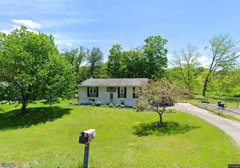
225 Newton Swartswood Rd Newton, NJ 07860
Estimated Value: $364,815 - $418,000
--
Bed
--
Bath
1,308
Sq Ft
$302/Sq Ft
Est. Value
About This Home
This home is located at 225 Newton Swartswood Rd, Newton, NJ 07860 and is currently estimated at $394,704, approximately $301 per square foot. 225 Newton Swartswood Rd is a home located in Sussex County with nearby schools including Fredon Township School, Kittatinny Regional High School, and Northwest Christian School.
Ownership History
Date
Name
Owned For
Owner Type
Purchase Details
Closed on
Sep 15, 2005
Sold by
Berardi Arlene D
Bought by
Hoffmann Carla
Current Estimated Value
Home Financials for this Owner
Home Financials are based on the most recent Mortgage that was taken out on this home.
Original Mortgage
$208,000
Outstanding Balance
$110,791
Interest Rate
5.78%
Mortgage Type
Fannie Mae Freddie Mac
Estimated Equity
$283,913
Purchase Details
Closed on
May 21, 2004
Sold by
Berardi Arlene D
Bought by
Berardi Arlene D
Create a Home Valuation Report for This Property
The Home Valuation Report is an in-depth analysis detailing your home's value as well as a comparison with similar homes in the area
Home Values in the Area
Average Home Value in this Area
Purchase History
| Date | Buyer | Sale Price | Title Company |
|---|---|---|---|
| Hoffmann Carla | $260,000 | -- | |
| Berardi Arlene D | -- | -- |
Source: Public Records
Mortgage History
| Date | Status | Borrower | Loan Amount |
|---|---|---|---|
| Open | Hoffmann Carla | $208,000 |
Source: Public Records
Tax History Compared to Growth
Tax History
| Year | Tax Paid | Tax Assessment Tax Assessment Total Assessment is a certain percentage of the fair market value that is determined by local assessors to be the total taxable value of land and additions on the property. | Land | Improvement |
|---|---|---|---|---|
| 2025 | $6,443 | $206,700 | $94,600 | $112,100 |
| 2024 | $6,170 | $206,700 | $94,600 | $112,100 |
| 2023 | $6,170 | $206,700 | $94,600 | $112,100 |
| 2022 | $6,046 | $206,700 | $94,600 | $112,100 |
| 2021 | $6,182 | $206,700 | $94,600 | $112,100 |
| 2020 | $6,149 | $206,700 | $94,600 | $112,100 |
| 2019 | $6,073 | $206,700 | $94,600 | $112,100 |
| 2018 | $5,970 | $206,700 | $94,600 | $112,100 |
| 2017 | $5,994 | $206,700 | $94,600 | $112,100 |
| 2016 | $5,941 | $206,700 | $94,600 | $112,100 |
| 2015 | $5,752 | $206,700 | $94,600 | $112,100 |
| 2014 | $5,655 | $206,700 | $94,600 | $112,100 |
Source: Public Records
Map
Nearby Homes
- 77 Swartswood Rd
- 37 Park Ave
- 41 Swartswood Rd
- 13 Summit Ave
- 15 Cherry St
- 7 Cherry St
- 37 Foster St
- 5 Clarkson St
- 32 Trinity St
- 20 Anderson Hill Rd
- 67 Ryerson Ave
- 5 Jefferson St
- 5 Babbitt Ct
- 8 Madison St
- 54 Plainfield Ave
- 9 Lawnwood Ave
- 41 Plainfield Ave
- 52 Trinity St
- 3 Townsend St
- 30 Old Swartswood Rd
- 223 Newton Swartswood Rd
- 227 Newton Swartswood Rd
- 221 Newton Swartswood Rd
- 224 Newton Swartswood Rd
- 229 Newton Swartswood Rd
- 218 Newton Swartswood Rd
- 219 Newton Swartswood Rd
- 217 Swartswood Rd
- 1 Glenn Terrace
- 216 Newton Swartswood Rd
- 215 Newton Swartswood Rd
- 304 Newton Swartswood Rd
- 8 Glenn Terrace
- 3 Glenn Terrace
- 213 Newton Swartswood Rd
- 10 Glenn Terrace
- 5 Glenn Terrace
- 14 Glenn Terrace
- 16 Glenn Terrace
- 12 Glenn Terrace