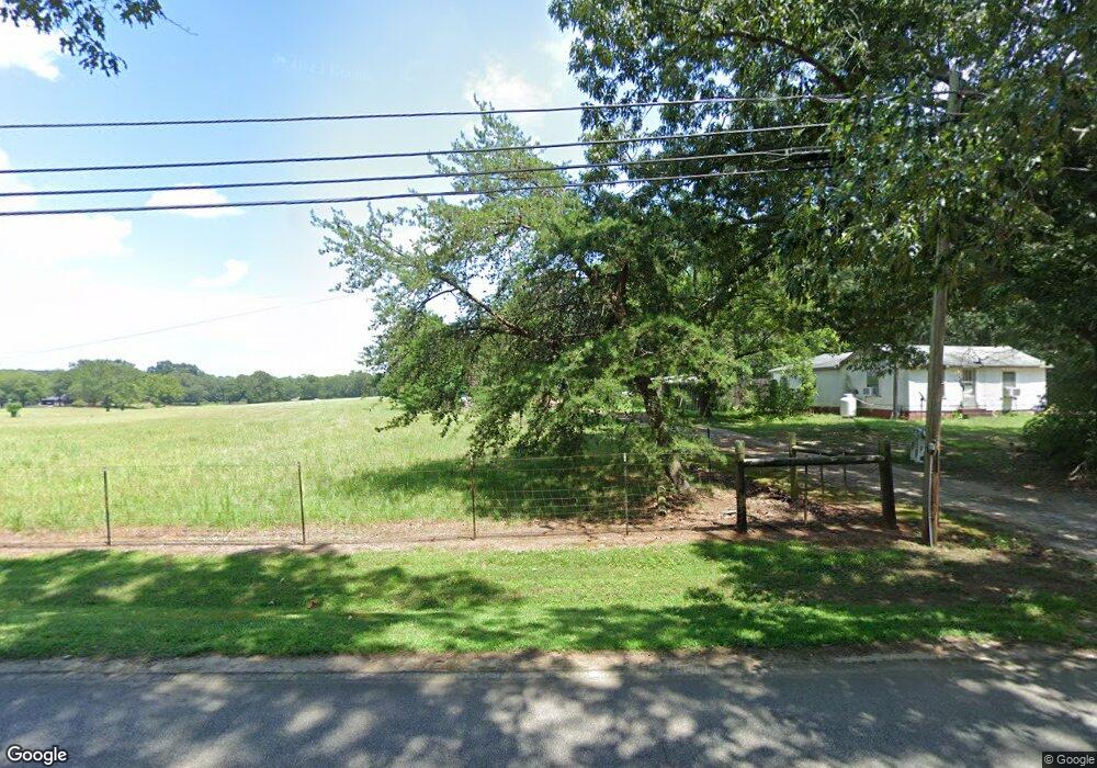
225 Old Anderson Rd Pendleton, SC 29670
Estimated Value: $87,105 - $240,000
Studio
--
Bath
1,053
Sq Ft
$186/Sq Ft
Est. Value
About This Home
This home is located at 225 Old Anderson Rd, Pendleton, SC 29670 and is currently estimated at $196,276, approximately $186 per square foot. 225 Old Anderson Rd is a home with nearby schools including Pendleton High School and Clemson Montessori School.
Ownership History
Date
Name
Owned For
Owner Type
Purchase Details
Closed on
Feb 6, 2023
Sold by
Brown Barbara Lynn
Bought by
Richey Linda Hubbard
Current Estimated Value
Purchase Details
Closed on
May 10, 2013
Sold by
Richey Linda Hubbard and Richey Linda J
Bought by
Brown Barbara Lynn
Purchase Details
Closed on
Feb 22, 2011
Sold by
Lee William
Bought by
Martin Patricia
Purchase Details
Closed on
Oct 7, 2008
Sold by
Cantrell Margeret H
Bought by
Richey Linda J
Create a Home Valuation Report for This Property
The Home Valuation Report is an in-depth analysis detailing your home's value as well as a comparison with similar homes in the area
Home Values in the Area
Average Home Value in this Area
Purchase History
| Date | Buyer | Sale Price | Title Company |
|---|---|---|---|
| Richey Linda Hubbard | -- | -- | |
| Brown Barbara Lynn | -- | -- | |
| Martin Patricia | -- | -- | |
| Richey Linda J | $9,000 | -- |
Source: Public Records
Tax History
| Year | Tax Paid | Tax Assessment Tax Assessment Total Assessment is a certain percentage of the fair market value that is determined by local assessors to be the total taxable value of land and additions on the property. | Land | Improvement |
|---|---|---|---|---|
| 2024 | $40 | $1,370 | $560 | $810 |
| 2023 | $40 | $1,370 | $560 | $810 |
| 2022 | $40 | $1,370 | $560 | $810 |
| 2021 | $40 | $1,070 | $240 | $830 |
| 2020 | $40 | $1,070 | $240 | $830 |
| 2019 | $40 | $1,070 | $240 | $830 |
| 2018 | $40 | $1,070 | $240 | $830 |
| 2017 | -- | $1,070 | $240 | $830 |
| 2016 | $40 | $1,130 | $240 | $890 |
| 2015 | $221 | $1,130 | $240 | $890 |
| 2014 | $40 | $1,130 | $240 | $890 |
Source: Public Records
Map
Nearby Homes
- 138 Cotesworth St
- 136 Cotesworth St
- 127 Spyglass Ln
- 144 Cotesworth St
- 110 Cotesworth St
- 210 Leslie Ln
- 1305 Summers Dr
- 571 Seaborn Cir
- 575 Seaborn Cir
- 596 Seaborn Cir
- 598 Seaborn Cir
- 571 Seaborn Cir
- 575 Seaborn Cir
- 619 Seaborn Cir
- 621 Seaborn Cir
- 618 Seaborn Cir
- 596 Seaborn Cir
- 616 Seaborn Cir
- 598 Seaborn Cir
- 251 Samuel St
- 100 Washborn Ave
- 235 Old Anderson Rd
- 121 Washburn Ave
- 207 Washburn Ave
- 7202 Highway 76
- 7204 Highway 76
- 124 Washborn Ave
- 211 Washburn Ave
- 251 Old Anderson Rd
- 7206 Highway 76
- 7201 Highway 76
- 7210 Highway 76
- 7203 Highway 76
- 210 Washborn Ave
- 255 Old Anderson Rd
- 221 Washborn Ave
- 7212 Highway 76
- 102 Kenneth Ct
- 105 Old Anderson Rd
- 100 Kenneth Ct
Your Personal Tour Guide
Ask me questions while you tour the home.