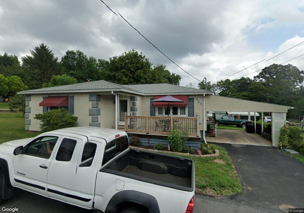
225 Ray St Williamstown, PA 17098
Estimated Value: $117,608 - $141,000
2
Beds
1
Bath
1,213
Sq Ft
$107/Sq Ft
Est. Value
About This Home
This home is located at 225 Ray St, Williamstown, PA 17098 and is currently estimated at $129,402, approximately $106 per square foot. 225 Ray St is a home located in Dauphin County with nearby schools including Williams Valley Elementary School and Williams Valley Junior/Senior High School.
Ownership History
Date
Name
Owned For
Owner Type
Purchase Details
Closed on
Jun 25, 2008
Sold by
Kerwin Joseph D
Bought by
Paul Robert W
Current Estimated Value
Home Financials for this Owner
Home Financials are based on the most recent Mortgage that was taken out on this home.
Original Mortgage
$64,000
Outstanding Balance
$41,870
Interest Rate
6.35%
Mortgage Type
New Conventional
Estimated Equity
$87,532
Create a Home Valuation Report for This Property
The Home Valuation Report is an in-depth analysis detailing your home's value as well as a comparison with similar homes in the area
Home Values in the Area
Average Home Value in this Area
Purchase History
| Date | Buyer | Sale Price | Title Company |
|---|---|---|---|
| Paul Robert W | $80,000 | -- |
Source: Public Records
Mortgage History
| Date | Status | Borrower | Loan Amount |
|---|---|---|---|
| Open | Paul Robert W | $64,000 |
Source: Public Records
Tax History Compared to Growth
Tax History
| Year | Tax Paid | Tax Assessment Tax Assessment Total Assessment is a certain percentage of the fair market value that is determined by local assessors to be the total taxable value of land and additions on the property. | Land | Improvement |
|---|---|---|---|---|
| 2025 | $1,517 | $42,300 | $10,900 | $31,400 |
| 2024 | $1,405 | $42,300 | $10,900 | $31,400 |
| 2023 | $1,358 | $42,300 | $10,900 | $31,400 |
| 2022 | $1,315 | $42,300 | $10,900 | $31,400 |
| 2021 | $1,283 | $42,300 | $10,900 | $31,400 |
| 2020 | $1,283 | $42,300 | $10,900 | $31,400 |
| 2019 | $1,283 | $42,300 | $10,900 | $31,400 |
| 2018 | $1,283 | $42,300 | $10,900 | $31,400 |
| 2017 | $1,258 | $42,300 | $10,900 | $31,400 |
| 2016 | $0 | $42,300 | $10,900 | $31,400 |
| 2015 | -- | $42,300 | $10,900 | $31,400 |
| 2014 | -- | $42,300 | $10,900 | $31,400 |
Source: Public Records
Map
Nearby Homes
- 311 Vine St
- 344 E Broad St
- 210 E Broad St
- 128 E Market St
- 111 E Market St
- 144 East St
- 453 E Market St
- 457 E Market St
- 127 and 129 E Market St
- 215 W Market St
- 9701 United States Route 209
- 599 E Market St
- 416 W Market St
- 429 W Market St
- 1254 W Broad St
- 0 Maple St
- 134 W Wisconisco Ave
- 45 W Grand Ave
- 2 E Grand Ave
- 0 E Colliery Ave Unit PASK2017240