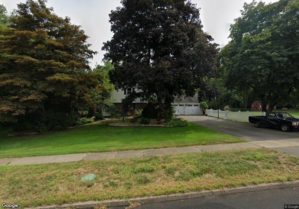
225 Robbins Ave Newington, CT 06111
Estimated Value: $345,665 - $416,000
3
Beds
1
Bath
1,489
Sq Ft
$263/Sq Ft
Est. Value
About This Home
This home is located at 225 Robbins Ave, Newington, CT 06111 and is currently estimated at $391,166, approximately $262 per square foot. 225 Robbins Ave is a home located in Hartford County with nearby schools including John Paterson School, John Wallace Middle School, and Newington High School.
Ownership History
Date
Name
Owned For
Owner Type
Purchase Details
Closed on
Aug 10, 1992
Sold by
Morneau Kenneth A
Bought by
Connery Ellen Lyn
Current Estimated Value
Home Financials for this Owner
Home Financials are based on the most recent Mortgage that was taken out on this home.
Original Mortgage
$134,800
Interest Rate
4.75%
Mortgage Type
Unknown
Create a Home Valuation Report for This Property
The Home Valuation Report is an in-depth analysis detailing your home's value as well as a comparison with similar homes in the area
Home Values in the Area
Average Home Value in this Area
Purchase History
| Date | Buyer | Sale Price | Title Company |
|---|---|---|---|
| Connery Ellen Lyn | $168,500 | -- |
Source: Public Records
Mortgage History
| Date | Status | Borrower | Loan Amount |
|---|---|---|---|
| Closed | Connery Ellen Lyn | $115,000 | |
| Closed | Connery Ellen Lyn | $134,800 |
Source: Public Records
Tax History
| Year | Tax Paid | Tax Assessment Tax Assessment Total Assessment is a certain percentage of the fair market value that is determined by local assessors to be the total taxable value of land and additions on the property. | Land | Improvement |
|---|---|---|---|---|
| 2025 | $6,371 | $159,360 | $59,460 | $99,900 |
| 2024 | $6,322 | $159,360 | $59,460 | $99,900 |
| 2023 | $6,113 | $159,360 | $59,460 | $99,900 |
| 2022 | $6,134 | $159,360 | $59,460 | $99,900 |
| 2021 | $6,185 | $159,360 | $59,460 | $99,900 |
| 2020 | $6,115 | $155,680 | $57,330 | $98,350 |
| 2019 | $6,142 | $155,680 | $57,330 | $98,350 |
| 2018 | $5,994 | $155,680 | $57,330 | $98,350 |
| 2017 | $5,696 | $155,680 | $57,330 | $98,350 |
| 2016 | $5,566 | $155,680 | $57,330 | $98,350 |
| 2014 | $5,264 | $151,400 | $57,270 | $94,130 |
Source: Public Records
Map
Nearby Homes
- 46 Florence St
- 55 Coles Ave
- 35 Walnut St
- 129 Glenview Dr
- 17 Whiteside St
- 446 Maple Hill Ave
- 24 Old Musket Dr
- 20 Browning Ave
- 144 Churchill Dr
- 168 Churchill Dr
- 631 Churchill Dr
- 38 Northwood Rd
- 1 Old Farm Dr
- 7 Old Farm Dr
- 9 Old Farm Dr
- 55 Old Farm Dr
- 3 7th St
- 235 Lucille St
- 233 Church St
- 35 Woodsedge Dr Unit 4C
- 1125 Willard Ave
- 8 Broadview St
- 228 Robbins Ave
- 222 Robbins Ave
- 236 Robbins Ave
- 216 Robbins Ave
- 242 Robbins Ave
- 1103 Willard Ave
- 16 Broadview St
- 24 Broadview St
- 1099 Willard Ave
- 259 Robbins Ave
- 22 Indian Hill Rd
- 32 Broadview St
- 256 Robbins Ave
- 18 Bayberry Rd
- 15 Broadview St
- 19 Mohawk Cir
- 14 Bayberry Rd
- 15 Mohawk Cir
Your Personal Tour Guide
Ask me questions while you tour the home.