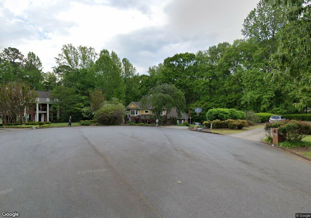
225 Rolling Ridge Ct Unit 13 Roswell, GA 30075
Brookfield West NeighborhoodEstimated Value: $744,000 - $819,117
3
Beds
3
Baths
2,777
Sq Ft
$286/Sq Ft
Est. Value
About This Home
This home is located at 225 Rolling Ridge Ct Unit 13, Roswell, GA 30075 and is currently estimated at $793,779, approximately $285 per square foot. 225 Rolling Ridge Ct Unit 13 is a home located in Fulton County with nearby schools including Mountain Park Elementary School, Crabapple Middle School, and Fellowship Christian School.
Ownership History
Date
Name
Owned For
Owner Type
Purchase Details
Closed on
Apr 29, 1994
Sold by
Reed Warren L
Bought by
Sarrafan Hossein C
Current Estimated Value
Home Financials for this Owner
Home Financials are based on the most recent Mortgage that was taken out on this home.
Original Mortgage
$126,000
Interest Rate
8.48%
Create a Home Valuation Report for This Property
The Home Valuation Report is an in-depth analysis detailing your home's value as well as a comparison with similar homes in the area
Home Values in the Area
Average Home Value in this Area
Purchase History
| Date | Buyer | Sale Price | Title Company |
|---|---|---|---|
| Sarrafan Hossein C | $157,500 | -- |
Source: Public Records
Mortgage History
| Date | Status | Borrower | Loan Amount |
|---|---|---|---|
| Closed | Sarrafan Hossein C | $126,000 |
Source: Public Records
Tax History Compared to Growth
Tax History
| Year | Tax Paid | Tax Assessment Tax Assessment Total Assessment is a certain percentage of the fair market value that is determined by local assessors to be the total taxable value of land and additions on the property. | Land | Improvement |
|---|---|---|---|---|
| 2025 | $896 | $267,680 | $74,640 | $193,040 |
| 2023 | $6,490 | $229,920 | $66,320 | $163,600 |
| 2022 | $3,640 | $191,760 | $64,480 | $127,280 |
| 2021 | $4,321 | $164,120 | $56,000 | $108,120 |
| 2020 | $4,389 | $175,400 | $81,720 | $93,680 |
| 2019 | $716 | $174,680 | $69,920 | $104,760 |
| 2018 | $4,096 | $170,600 | $68,280 | $102,320 |
| 2017 | $3,587 | $137,120 | $41,120 | $96,000 |
| 2016 | $3,568 | $137,120 | $41,120 | $96,000 |
| 2015 | $4,329 | $137,120 | $41,120 | $96,000 |
| 2014 | $3,176 | $116,360 | $35,800 | $80,560 |
Source: Public Records
Map
Nearby Homes
- 870 Hickory Oak Hollow
- 865 Ferncroft Ct
- 680 Brookfield Pkwy Unit 1
- 570 Wheatridge Bluff
- 125 Fortuna Ct
- 1005 Hedgerose Ln
- 5045 Rockingham Dr
- 120 Cedarwood Ln
- 140 Cedarwood Ln
- 12620 Old Surrey Place
- 515 Kent Rd
- 1460 Lakemist Ct
- 130 Cedarwood Ln
- 4010 Rockingham Dr
- 160 Cedarwood Ln
- 150 Cedarwood Ln
- 235 Winterberry Way
- 180 Cedarwood Ln
- 105 Kensington Pond Ct
- 140 E Lake Dr
- 230 Rolling Ridge Ct Unit 13
- 215 Rolling Ridge Ct
- 870 Brookfield Pkwy Unit Large Furnished Bsmt
- 870 Brookfield Pkwy
- 860 Brookfield Pkwy
- 210 Rolling Ridge Ct
- 345 Richfield Ct
- 850 Brookfield Pkwy
- 120 Vistacrest Way
- 880 Brookfield Pkwy Unit 10
- 365 Richfield Ct Unit 13
- 11615 Mountain Laurel Dr
- 325 Richfield Ct
- 0 Richfield Ct Unit 8653327
- 0 Richfield Ct Unit 8663147
- 0 Richfield Ct Unit 8613807
- 11605 Mountain Laurel Dr
- 890 Brookfield Pkwy
- 1030 Oakhaven Dr
- 305 Richfield Ct