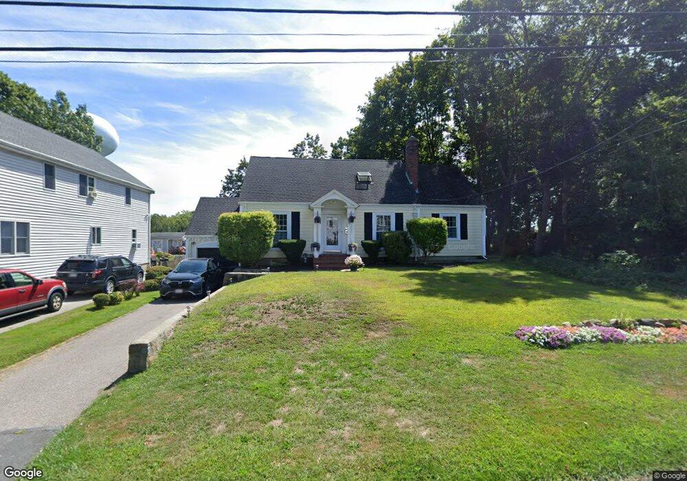
225 Roosevelt Rd Weymouth, MA 02188
Weymouth Landing NeighborhoodEstimated Value: $668,383 - $701,000
3
Beds
2
Baths
2,044
Sq Ft
$334/Sq Ft
Est. Value
About This Home
This home is located at 225 Roosevelt Rd, Weymouth, MA 02188 and is currently estimated at $681,846, approximately $333 per square foot. 225 Roosevelt Rd is a home located in Norfolk County with nearby schools including Abigail Adams Middle School, Academy Avenue Elementary School, and Weymouth Middle School Chapman.
Ownership History
Date
Name
Owned For
Owner Type
Purchase Details
Closed on
Jan 14, 1993
Sold by
Leahy Robert C and Leahy Patricia A
Bought by
Lehan Michael J and Lehan Debra A
Current Estimated Value
Home Financials for this Owner
Home Financials are based on the most recent Mortgage that was taken out on this home.
Original Mortgage
$142,500
Interest Rate
8.3%
Mortgage Type
Purchase Money Mortgage
Create a Home Valuation Report for This Property
The Home Valuation Report is an in-depth analysis detailing your home's value as well as a comparison with similar homes in the area
Home Values in the Area
Average Home Value in this Area
Purchase History
| Date | Buyer | Sale Price | Title Company |
|---|---|---|---|
| Lehan Michael J | $150,000 | -- |
Source: Public Records
Mortgage History
| Date | Status | Borrower | Loan Amount |
|---|---|---|---|
| Open | Lehan Michael J | $262,000 | |
| Closed | Lehan Michael J | $141,800 | |
| Closed | Lehan Michael J | $142,500 |
Source: Public Records
Tax History Compared to Growth
Tax History
| Year | Tax Paid | Tax Assessment Tax Assessment Total Assessment is a certain percentage of the fair market value that is determined by local assessors to be the total taxable value of land and additions on the property. | Land | Improvement |
|---|---|---|---|---|
| 2025 | $5,876 | $581,800 | $225,500 | $356,300 |
| 2024 | $5,692 | $554,200 | $214,800 | $339,400 |
| 2023 | $5,364 | $513,300 | $198,900 | $314,400 |
| 2022 | $5,220 | $455,500 | $184,100 | $271,400 |
| 2021 | $5,062 | $431,200 | $184,100 | $247,100 |
| 2020 | $4,855 | $407,300 | $184,100 | $223,200 |
| 2019 | $4,736 | $390,800 | $177,100 | $213,700 |
| 2018 | $4,584 | $366,700 | $168,600 | $198,100 |
| 2017 | $4,476 | $349,400 | $160,600 | $188,800 |
| 2016 | $4,223 | $329,900 | $154,400 | $175,500 |
| 2015 | $4,034 | $312,700 | $147,400 | $165,300 |
| 2014 | $3,848 | $289,300 | $137,200 | $152,100 |
Source: Public Records
Map
Nearby Homes
- 93 Wilson Ave
- 286 Broad St
- 38 Idlewell St
- 114 Gilbert Rd
- 669 Commercial St
- 294 Commercial St
- 28 Webb St
- 70 Biscayne Ave
- 20 Richards Rd
- 9 Vine St Unit 1
- 727 Commercial St
- 19 Vine St Unit 3
- 29-31 Broad Street Place
- 35 Seminole Ave
- 114 Broad St Unit D
- 114 Broad St Unit C
- 25 Richmond St
- 11 Richmond St
- 23-25 Lindbergh Ave
- 33 Argyle Rd
- 229 Roosevelt Rd
- 233 Roosevelt Rd
- 215 Roosevelt Rd
- 116 Wilson Ave
- 211 Roosevelt Rd
- 239 Roosevelt Rd
- 114 Wilson Ave
- 230 Roosevelt Rd
- 207 Roosevelt Rd
- 234 Roosevelt Rd
- 117 Wilson Ave
- 245 Roosevelt Rd
- 203 Roosevelt Rd
- 104 Wilson Ave
- 210 Roosevelt Rd
- 238 Roosevelt Rd
- 251 Roosevelt Rd
- 204 Roosevelt Rd
- 199 Roosevelt Rd
- 11 Taft Rd