225 Ryan Loop Baileyton, AL 35019
Estimated Value: $214,000 - $608,000
Studio
--
Bath
2,010
Sq Ft
$218/Sq Ft
Est. Value
About This Home
This home is located at 225 Ryan Loop, Baileyton, AL 35019 and is currently estimated at $438,333, approximately $218 per square foot. 225 Ryan Loop is a home with nearby schools including Albert P. Brewer High School.
Ownership History
Date
Name
Owned For
Owner Type
Purchase Details
Closed on
Sep 14, 2017
Sold by
Humphries Danny and Humphries Tanya
Bought by
Nease Bradley J and Nease Ashley D
Current Estimated Value
Purchase Details
Closed on
Nov 12, 2009
Sold by
Humphries Danny and Humphries Tanya
Bought by
Walker Brothers Ltd
Purchase Details
Closed on
Dec 4, 2008
Sold by
Walker Brothers Ltd
Bought by
Nease Bradley J and Nease Ashley D
Home Financials for this Owner
Home Financials are based on the most recent Mortgage that was taken out on this home.
Original Mortgage
$84,591
Interest Rate
5.01%
Mortgage Type
New Conventional
Create a Home Valuation Report for This Property
The Home Valuation Report is an in-depth analysis detailing your home's value as well as a comparison with similar homes in the area
Purchase History
| Date | Buyer | Sale Price | Title Company |
|---|---|---|---|
| Nease Bradley J | $3,000 | None Available | |
| Walker Brothers Ltd | -- | None Available | |
| Nease Bradley J | $82,500 | None Available |
Source: Public Records
Mortgage History
| Date | Status | Borrower | Loan Amount |
|---|---|---|---|
| Previous Owner | Nease Bradley J | $84,591 |
Source: Public Records
Tax History
| Year | Tax Paid | Tax Assessment Tax Assessment Total Assessment is a certain percentage of the fair market value that is determined by local assessors to be the total taxable value of land and additions on the property. | Land | Improvement |
|---|---|---|---|---|
| 2024 | $910 | $24,310 | $1,140 | $23,170 |
| 2023 | $910 | $48,620 | $2,280 | $46,340 |
| 2022 | $910 | $48,620 | $2,280 | $46,340 |
| 2021 | $558 | $29,800 | $1,860 | $27,940 |
| 2020 | $558 | $29,800 | $1,860 | $27,940 |
| 2019 | $558 | $14,920 | $0 | $0 |
| 2015 | $305 | $9,580 | $0 | $0 |
| 2014 | $305 | $9,580 | $0 | $0 |
| 2013 | -- | $9,120 | $0 | $0 |
Source: Public Records
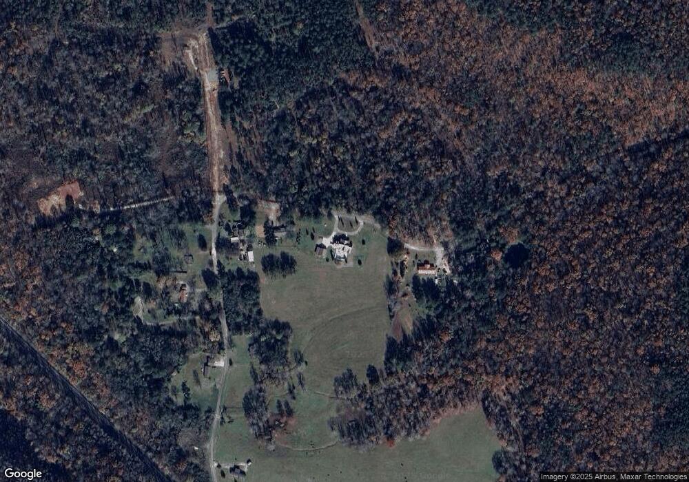
Map
Nearby Homes
- 1055 Mardis Point Rd
- 1773 Gum Pond Rd
- 10 Acres Eagle Rock Dr
- 388 Welcome Falls Rd
- 3679 Hulaco Rd
- 0 Apple Grove Rd
- 588 Latham Rd
- 38.37 Acres Latham Rd
- 45.32 Acres Latham Rd
- 0 County Road 1597
- 1941 County Road 1589
- 484 Naples Ln
- 2051 County Road 1589
- 1533 Hulaco Rd
- 905 County Road 1598
- 3056 Cherokee Ridge Dr
- 252 Naples Ln
- 1028 Lake View Ln NW
- Lot 247 Cherokee Ridge Ct
- 5 acres County Road 1552
- 193 Ryan Loop
- 271 Ryan Loop
- 0 Ryan Loop Rd
- 145 Ryan Loop
- 97 Ryan Loop
- 128 Ryan Loop
- 86 Ryan Loop
- 10316 Highway 67 S
- 10316 Highway 67 S
- 10316 Highway 67 S
- 10315 Highway 67 S
- 10314 Highway 67 S
- 10314 Highway 67 S
- 10317 Highway 67 S
- 149 Ryan Loop Rd
- 282 Saint John Rd
- 0 Hwy 67 Unit 312323
- 10397 Highway 67 S
- 149 Mountain Top Rd
- 118 Mountain Top Rd
Your Personal Tour Guide
Ask me questions while you tour the home.