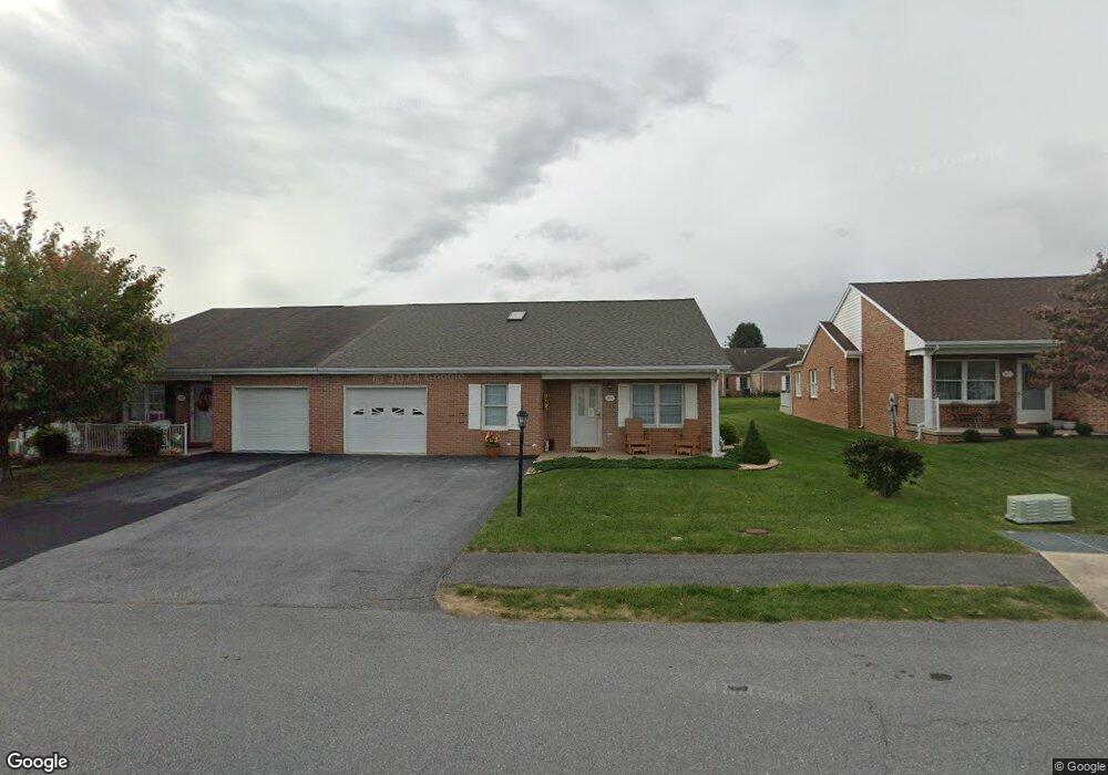
225 S Fork Dr Hagerstown, MD 21740
South End NeighborhoodEstimated Value: $296,000 - $332,523
--
Bed
2
Baths
1,680
Sq Ft
$191/Sq Ft
Est. Value
About This Home
This home is located at 225 S Fork Dr, Hagerstown, MD 21740 and is currently estimated at $320,131, approximately $190 per square foot. 225 S Fork Dr is a home located in Washington County with nearby schools including Emma K. Doub Elementary School, E. Russell Hicks Middle School, and South Hagerstown High School.
Ownership History
Date
Name
Owned For
Owner Type
Purchase Details
Closed on
Oct 12, 2018
Sold by
Ball William R and Ball Judith A
Bought by
Forcino Clarence Richard and Forcino Nancy
Current Estimated Value
Purchase Details
Closed on
Jul 1, 2003
Sold by
Crampton Paul Llc
Bought by
Ball William R
Create a Home Valuation Report for This Property
The Home Valuation Report is an in-depth analysis detailing your home's value as well as a comparison with similar homes in the area
Home Values in the Area
Average Home Value in this Area
Purchase History
| Date | Buyer | Sale Price | Title Company |
|---|---|---|---|
| Forcino Clarence Richard | $180,000 | Passport Title Services Llc | |
| Ball William R | $180,292 | -- |
Source: Public Records
Mortgage History
| Date | Status | Borrower | Loan Amount |
|---|---|---|---|
| Closed | Ball William R | -- |
Source: Public Records
Tax History Compared to Growth
Tax History
| Year | Tax Paid | Tax Assessment Tax Assessment Total Assessment is a certain percentage of the fair market value that is determined by local assessors to be the total taxable value of land and additions on the property. | Land | Improvement |
|---|---|---|---|---|
| 2025 | $2,460 | $283,067 | $0 | $0 |
| 2024 | $2,460 | $255,200 | $35,000 | $220,200 |
| 2023 | $2,348 | $237,933 | $0 | $0 |
| 2022 | $2,219 | $220,667 | $0 | $0 |
| 2021 | $2,146 | $203,400 | $35,000 | $168,400 |
| 2020 | $2,051 | $194,333 | $0 | $0 |
| 2019 | $1,964 | $185,267 | $0 | $0 |
| 2018 | $2,063 | $176,200 | $35,000 | $141,200 |
| 2017 | $1,741 | $170,200 | $0 | $0 |
| 2016 | -- | $164,200 | $0 | $0 |
| 2015 | -- | $158,200 | $0 | $0 |
| 2014 | $1,959 | $158,200 | $0 | $0 |
Source: Public Records
Map
Nearby Homes
- 206 Winding Oak Dr
- 202 S Fork Dr
- 147 Buttercup Dr
- 1203 Peppercorn Dr
- 12.3 AC Southern Blvd
- Lot 7-16 Lawton Ln
- 1432 Oak Ridge Place
- 3 W Oak Ridge Dr
- 13 W Oak Ridge Dr
- 1026 101 Brinker Dr
- 1026 302 Brinker Dr
- 1004 202 Brinker Dr
- 628 Knightsbridge Dr
- 1002 Brinker Dr Unit 302
- 622 Knightsbridge Dr
- 1006 Rose Hill Ave
- 0 Kenly Ave
- 24 W Cemetery St
- 14 W Baltimore St
- 920 Frederick St
- 227 S Fork Dr
- 221 S Fork Dr
- 229 S Fork Dr
- 219 S Fork Dr
- 231 S Fork Dr
- 217 S Fork Dr
- 230 Winding Oak Dr
- 233 S Fork Dr
- 226 Winding Oak Dr
- 232 Winding Oak Dr
- 224 Winding Oak Dr
- 234 Winding Oak Dr
- 222 Winding Oak Dr
- 222 S Fork Dr
- 215 S Fork Dr
- 226 S Fork Dr
- 220 S Fork Dr
- 228 S Fork Dr
- 235 S Fork Dr
- 220 Winding Oak Dr