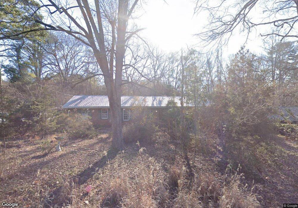
225 Segrest Cir Athens, GA 30605
Estimated Value: $245,518 - $349,000
--
Bed
--
Bath
1,638
Sq Ft
$188/Sq Ft
Est. Value
About This Home
This home is located at 225 Segrest Cir, Athens, GA 30605 and is currently estimated at $308,130, approximately $188 per square foot. 225 Segrest Cir is a home located in Clarke County with nearby schools including Barnett Shoals Elementary School, Hilsman Middle School, and Cedar Shoals High School.
Ownership History
Date
Name
Owned For
Owner Type
Purchase Details
Closed on
Jul 29, 2022
Sold by
Johnson Suzanne
Bought by
Suzanne Roberta Johnson Liv Tr
Current Estimated Value
Purchase Details
Closed on
May 17, 2001
Sold by
Johnson Susanne R
Bought by
Johnson Suzanne R Revocable Living
Purchase Details
Closed on
Jan 25, 2001
Sold by
Mckinney John H and Mckinney Susanne R
Bought by
Johnson Susanne R
Create a Home Valuation Report for This Property
The Home Valuation Report is an in-depth analysis detailing your home's value as well as a comparison with similar homes in the area
Home Values in the Area
Average Home Value in this Area
Purchase History
| Date | Buyer | Sale Price | Title Company |
|---|---|---|---|
| Suzanne Roberta Johnson Liv Tr | -- | -- | |
| Johnson Suzanne R Revocable Living | $95,000 | -- | |
| Johnson Susanne R | -- | -- |
Source: Public Records
Tax History Compared to Growth
Tax History
| Year | Tax Paid | Tax Assessment Tax Assessment Total Assessment is a certain percentage of the fair market value that is determined by local assessors to be the total taxable value of land and additions on the property. | Land | Improvement |
|---|---|---|---|---|
| 2025 | $1,588 | $105,435 | $12,000 | $93,435 |
| 2024 | $1,588 | $97,453 | $12,000 | $85,453 |
| 2023 | $383 | $91,785 | $12,000 | $79,785 |
| 2022 | $1,612 | $79,559 | $12,000 | $67,559 |
| 2021 | $1,494 | $64,658 | $12,000 | $52,658 |
| 2020 | $1,424 | $59,565 | $12,000 | $47,565 |
| 2019 | $1,403 | $57,165 | $12,000 | $45,165 |
| 2018 | $1,370 | $54,774 | $12,000 | $42,774 |
| 2017 | $1,274 | $47,893 | $12,000 | $35,893 |
| 2016 | $1,265 | $47,248 | $12,000 | $35,248 |
| 2015 | $1,255 | $46,910 | $12,000 | $34,910 |
| 2014 | $1,293 | $47,952 | $12,000 | $35,952 |
Source: Public Records
Map
Nearby Homes
- 215R Segrest Cir
- 215 Segrest Cir
- 235 Segrest Cir
- 220 Segrest Cir
- 205 Segrest Cir
- 245 Segrest Cir
- 230 Segrest Cir
- 380 Vista Dr
- 240 Segrest Cir
- 195 Segrest Cir
- 340 Vista Dr
- 255 Segrest Cir
- 115 Watson Dr
- 250 Segrest Cir
- 385 Vista Dr
- 175 Segrest Cir
- 125 Watson Dr
- 300 Vista Dr
- 265 Segrest Cir
- 135 Watson Dr