225 Spencer Hill Rd Winsted, CT 06098
Estimated Value: $293,000 - $324,000
3
Beds
3
Baths
1,152
Sq Ft
$263/Sq Ft
Est. Value
About This Home
This home is located at 225 Spencer Hill Rd, Winsted, CT 06098 and is currently estimated at $303,527, approximately $263 per square foot. 225 Spencer Hill Rd is a home located in Litchfield County with nearby schools including Explorations Charter School, St Anthony School, and The Gilbert School.
Ownership History
Date
Name
Owned For
Owner Type
Purchase Details
Closed on
Aug 10, 2006
Sold by
Schibi James E and Schibi Sandra L
Bought by
Cowette Wayne T and Cowette Holly A
Current Estimated Value
Home Financials for this Owner
Home Financials are based on the most recent Mortgage that was taken out on this home.
Original Mortgage
$201,875
Outstanding Balance
$121,466
Interest Rate
6.8%
Estimated Equity
$182,061
Create a Home Valuation Report for This Property
The Home Valuation Report is an in-depth analysis detailing your home's value as well as a comparison with similar homes in the area
Home Values in the Area
Average Home Value in this Area
Purchase History
| Date | Buyer | Sale Price | Title Company |
|---|---|---|---|
| Cowette Wayne T | $212,500 | -- | |
| Cowette Wayne T | $212,500 | -- |
Source: Public Records
Mortgage History
| Date | Status | Borrower | Loan Amount |
|---|---|---|---|
| Open | Cowette Wayne T | $201,875 | |
| Closed | Cowette Wayne T | $201,875 | |
| Previous Owner | Cowette Wayne T | $118,000 | |
| Previous Owner | Cowette Wayne T | $48,865 |
Source: Public Records
Tax History Compared to Growth
Tax History
| Year | Tax Paid | Tax Assessment Tax Assessment Total Assessment is a certain percentage of the fair market value that is determined by local assessors to be the total taxable value of land and additions on the property. | Land | Improvement |
|---|---|---|---|---|
| 2025 | $4,094 | $140,350 | $45,500 | $94,850 |
| 2024 | $3,823 | $140,350 | $45,500 | $94,850 |
| 2023 | $3,704 | $140,350 | $45,500 | $94,850 |
| 2022 | $3,747 | $111,720 | $32,970 | $78,750 |
| 2021 | $3,747 | $111,720 | $32,970 | $78,750 |
| 2020 | $3,747 | $111,720 | $32,970 | $78,750 |
| 2019 | $3,747 | $111,720 | $32,970 | $78,750 |
| 2018 | $3,747 | $111,720 | $32,970 | $78,750 |
| 2017 | $3,573 | $106,540 | $30,800 | $75,740 |
| 2016 | $3,573 | $106,540 | $30,800 | $75,740 |
| 2015 | $3,484 | $106,540 | $30,800 | $75,740 |
| 2014 | $3,400 | $106,540 | $30,800 | $75,740 |
Source: Public Records
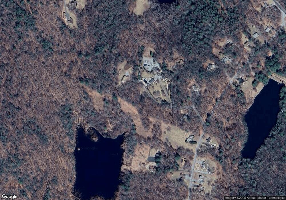
Map
Nearby Homes
- 197 Spencer Hill Rd
- 208 Spencer Hill Rd
- 151 Losaw Rd
- 503 N Main St
- 111 Riverton Rd Unit 61
- 111 Riverton Rd Unit 90
- 115 Old Robertsville Rd
- 0 Old Robertsville Rd
- 00 Ramsgate Ln
- 82 Riverton Rd
- 256 Colebrook Rd
- 52 White St
- 312 Colebrook River Rd
- 38 Riveredge Dr Unit 38
- 32 Norfolk Rd
- 38 Upland Rd
- 45 Riveredge Dr Unit 45
- 10 Crescent St
- 99 Hubbard St
- 14 Curtice St
- 00 Spencer Hill Rd
- 223 Spencer Hill Rd
- 201 Smith Hill Rd
- 222 Spencer Hill Rd
- 228 Spencer Hill Rd
- 221 Spencer Hill Rd
- 191 Smith Hill Rd
- 206 Smith Hill Rd
- 219 Spencer Hill Rd
- 217 Spencer Hill Rd
- 194 Smith Hill Rd
- 224 Spencer Hill Rd
- 189 Smith Hill Rd
- 211 Smith Hill Rd
- 208 Smith Hill Rd
- 215 Spencer Hill Rd
- 185 Smith Hill Rd
- 186 Smith Hill Rd
- 182 Smith Hill Rd
- 213 Spencer Hill Rd