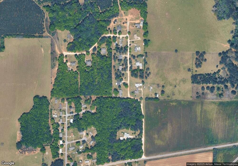
225 Stanford Hill Rd Newton, AL 36352
Estimated Value: $292,000 - $331,000
--
Bed
1
Bath
2,398
Sq Ft
$130/Sq Ft
Est. Value
About This Home
This home is located at 225 Stanford Hill Rd, Newton, AL 36352 and is currently estimated at $311,544, approximately $129 per square foot. 225 Stanford Hill Rd is a home located in Dale County.
Ownership History
Date
Name
Owned For
Owner Type
Purchase Details
Closed on
Apr 23, 2025
Sold by
Cox Clint and Cox Lauren
Bought by
Jones Eugene C and Jones Amber
Current Estimated Value
Home Financials for this Owner
Home Financials are based on the most recent Mortgage that was taken out on this home.
Original Mortgage
$300,000
Outstanding Balance
$298,668
Interest Rate
6.65%
Mortgage Type
New Conventional
Estimated Equity
$12,876
Purchase Details
Closed on
Mar 7, 2023
Sold by
Wells Daniel and Wells Lindsay
Bought by
Cox Clint and Cox Lauren
Home Financials for this Owner
Home Financials are based on the most recent Mortgage that was taken out on this home.
Original Mortgage
$243,258
Interest Rate
6.13%
Mortgage Type
New Conventional
Purchase Details
Closed on
Feb 28, 2022
Sold by
Wade Helms Jared and Wade Brittney
Bought by
Wells Daniel Cade
Home Financials for this Owner
Home Financials are based on the most recent Mortgage that was taken out on this home.
Original Mortgage
$223,376
Interest Rate
3.69%
Mortgage Type
New Conventional
Purchase Details
Closed on
Apr 22, 2016
Bought by
Helms Jared W
Home Financials for this Owner
Home Financials are based on the most recent Mortgage that was taken out on this home.
Original Mortgage
$136,482
Interest Rate
3.59%
Purchase Details
Closed on
Dec 22, 2015
Sold by
Branch Bankingn And Trust Company
Bought by
Secretary Of Housing And Urban Developme
Purchase Details
Closed on
Dec 7, 2015
Sold by
Estate Of David L Baribeau Deceased
Bought by
Branch Banking And Trust Company
Create a Home Valuation Report for This Property
The Home Valuation Report is an in-depth analysis detailing your home's value as well as a comparison with similar homes in the area
Home Values in the Area
Average Home Value in this Area
Purchase History
| Date | Buyer | Sale Price | Title Company |
|---|---|---|---|
| Jones Eugene C | $300,000 | None Listed On Document | |
| Cox Clint | $279,900 | -- | |
| Wells Daniel Cade | $227,500 | None Listed On Document | |
| Helms Jared W | -- | -- | |
| Secretary Of Housing And Urban Developme | $158,290 | -- | |
| Branch Banking And Trust Company | $138,600 | -- |
Source: Public Records
Mortgage History
| Date | Status | Borrower | Loan Amount |
|---|---|---|---|
| Open | Jones Eugene C | $300,000 | |
| Previous Owner | Cox Clint | $243,258 | |
| Previous Owner | Wells Daniel Cade | $223,376 | |
| Previous Owner | Helms Jared W | $136,482 | |
| Previous Owner | Helms Jared W | -- |
Source: Public Records
Tax History Compared to Growth
Tax History
| Year | Tax Paid | Tax Assessment Tax Assessment Total Assessment is a certain percentage of the fair market value that is determined by local assessors to be the total taxable value of land and additions on the property. | Land | Improvement |
|---|---|---|---|---|
| 2024 | $1,100 | $28,200 | $880 | $27,320 |
| 2023 | $1,031 | $20,560 | $760 | $19,800 |
| 2022 | $651 | $17,500 | $2,720 | $14,780 |
| 2021 | $576 | $15,380 | $720 | $14,660 |
| 2020 | $576 | $15,380 | $720 | $14,660 |
| 2019 | $576 | $15,380 | $720 | $14,660 |
| 2018 | $594 | $15,900 | $480 | $15,420 |
| 2017 | $614 | $16,440 | $460 | $15,980 |
| 2016 | $538 | $15,840 | $460 | $15,380 |
| 2015 | $538 | $15,840 | $460 | $15,380 |
| 2014 | $528 | $15,560 | $460 | $15,100 |
| 2013 | $555 | $16,500 | $460 | $16,040 |
Source: Public Records
Map
Nearby Homes
- 195 Stanford Hill Rd
- 259 Stanford Hill Rd
- 102 Stanford Hill Rd
- 164 Stanford Hill Rd
- 272 Stanford Hill Rd
- 291 Stanford Hill Rd
- 310 Stanford Hill Rd
- 471 Stanford Hill Rd
- 365 Stanford Hill Rd
- 401 Stanford Hill Rd
- 45 Daniel Ct
- 520 Stanford Hill Rd
- 36 Daniel Ct
- 342 Stanford Hill Rd
- 519 Stanford Hill Rd
- 15 Daniel Ct
- 53 Stanford Hill Rd
- 374 Stanford Hill Rd
- 364 Stanford Hill Rd
- 45 Kristie Ct
