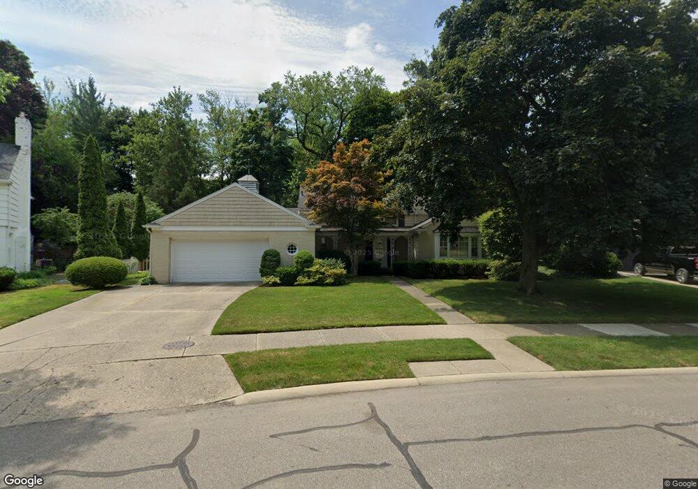
225 Stephens Rd Grosse Pointe Farms, MI 48236
Estimated Value: $705,000 - $867,000
--
Bed
--
Bath
3,262
Sq Ft
$242/Sq Ft
Est. Value
About This Home
This home is located at 225 Stephens Rd, Grosse Pointe Farms, MI 48236 and is currently estimated at $789,015, approximately $241 per square foot. 225 Stephens Rd is a home located in Wayne County with nearby schools including Kerby Elementary School, Brownell Middle School, and Grosse Pointe South High School.
Ownership History
Date
Name
Owned For
Owner Type
Purchase Details
Closed on
Oct 26, 2007
Sold by
Mcelvenny Ralph T and Oldham Alice M
Bought by
Schrock Dale R
Current Estimated Value
Purchase Details
Closed on
Apr 3, 2003
Sold by
Mcelvenny Elisabeth S and Mcelvenny Ralph T
Bought by
Mcelvenny Elisabeth S and Elisabeth S Mcelvenny Trust
Create a Home Valuation Report for This Property
The Home Valuation Report is an in-depth analysis detailing your home's value as well as a comparison with similar homes in the area
Home Values in the Area
Average Home Value in this Area
Purchase History
| Date | Buyer | Sale Price | Title Company |
|---|---|---|---|
| Schrock Dale R | $395,000 | Chirco Title Company | |
| Mcelvenny Elisabeth S | -- | -- |
Source: Public Records
Tax History Compared to Growth
Tax History
| Year | Tax Paid | Tax Assessment Tax Assessment Total Assessment is a certain percentage of the fair market value that is determined by local assessors to be the total taxable value of land and additions on the property. | Land | Improvement |
|---|---|---|---|---|
| 2025 | $4,857 | $352,300 | $0 | $0 |
| 2024 | $4,857 | $322,500 | $0 | $0 |
| 2023 | $4,450 | $294,100 | $0 | $0 |
| 2022 | $4,450 | $266,200 | $0 | $0 |
| 2021 | $8,165 | $250,500 | $0 | $0 |
| 2019 | $8,029 | $248,300 | $0 | $0 |
| 2018 | $4,109 | $232,100 | $0 | $0 |
| 2017 | $7,129 | $226,800 | $0 | $0 |
| 2016 | $7,473 | $217,400 | $0 | $0 |
| 2015 | $14,803 | $164,900 | $0 | $0 |
| 2013 | $14,340 | $143,400 | $0 | $0 |
| 2012 | $3,738 | $140,600 | $50,500 | $90,100 |
Source: Public Records
Map
Nearby Homes
- 218 Merriweather Rd
- 189 Cloverly Rd
- 216 Ridge Rd
- 259 Mount Vernon Ave
- 257 Ridge Rd
- 194 Charlevoix Ave
- 302 Mount Vernon Ave
- 273 Ridge Rd
- 130 Merriweather Rd
- 314 Mount Vernon Ave
- 317 Mount Vernon Ave
- 343 Mount Vernon Ave
- 166 Lewiston Rd
- 93 Merriweather Rd
- 276 Lewiston Rd
- 265 Williams Ave
- 380 Merriweather Rd
- 341 Mcmillan Rd
- 351 Moselle Place
- 352 Mckinley Ave
- 223 Stephens Rd
- 234 Lothrop Rd
- 233 Stephens Rd
- 221 Stephens Rd
- 226 Stephens Rd
- 230 Stephens Rd
- 222 Lothrop Rd
- 222 Stephens Rd
- 217 Stephens Rd
- 232 Stephens Rd
- 220 Stephens Rd
- 240 Stephens Rd
- 245 Stephens Rd
- 214 Lothrop Rd
- 232 Lothrop Rd
- 232 Lothrop Rd
- 216 Stephens Rd
- 234 Stephens Rd
- 235 Ridge Rd
- 210 Lothrop Rd