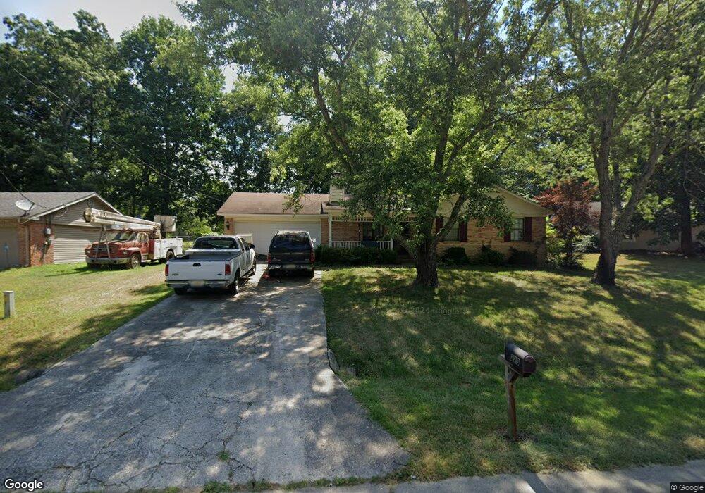
225 Stormy Dr New Market, AL 35761
Estimated Value: $146,000 - $215,000
--
Bed
--
Bath
1,104
Sq Ft
$157/Sq Ft
Est. Value
About This Home
This home is located at 225 Stormy Dr, New Market, AL 35761 and is currently estimated at $173,298, approximately $156 per square foot. 225 Stormy Dr is a home with nearby schools including Riverton Elementary School, Riverton Intermediate School, and Buckhorn Middle School.
Ownership History
Date
Name
Owned For
Owner Type
Purchase Details
Closed on
Aug 3, 2015
Sold by
Malachowski Chris and Malachowski Marcia K
Bought by
Malachowski Christopher W and Malachowski Christopher C
Current Estimated Value
Purchase Details
Closed on
Jul 17, 2008
Sold by
Phillips Brenda and Williams Dana D
Bought by
Malachowski Chris and Malachowski Marcia K
Purchase Details
Closed on
Jan 23, 2007
Sold by
Phillips Billy Ray and Phillips Brenda W
Bought by
Phillips Brenda W and Williams Dana D
Create a Home Valuation Report for This Property
The Home Valuation Report is an in-depth analysis detailing your home's value as well as a comparison with similar homes in the area
Home Values in the Area
Average Home Value in this Area
Purchase History
| Date | Buyer | Sale Price | Title Company |
|---|---|---|---|
| Malachowski Christopher W | -- | None Available | |
| Malachowski Chris | -- | -- | |
| Phillips Brenda W | -- | -- |
Source: Public Records
Tax History Compared to Growth
Tax History
| Year | Tax Paid | Tax Assessment Tax Assessment Total Assessment is a certain percentage of the fair market value that is determined by local assessors to be the total taxable value of land and additions on the property. | Land | Improvement |
|---|---|---|---|---|
| 2024 | $431 | $13,020 | $2,500 | $10,520 |
| 2023 | $420 | $12,540 | $2,500 | $10,040 |
| 2022 | $367 | $11,580 | $2,500 | $9,080 |
| 2021 | $362 | $11,440 | $2,500 | $8,940 |
| 2020 | $308 | $9,920 | $2,000 | $7,920 |
| 2019 | $295 | $9,560 | $2,000 | $7,560 |
| 2018 | $277 | $9,060 | $0 | $0 |
| 2017 | $269 | $8,840 | $0 | $0 |
| 2016 | $269 | $8,840 | $0 | $0 |
| 2015 | $269 | $8,840 | $0 | $0 |
| 2014 | $266 | $8,780 | $0 | $0 |
Source: Public Records
Map
Nearby Homes
- 3492 Winchester Rd
- 5652 Maysville Rd
- 3424 Winchester Rd NE
- 146 Green Rd
- 158 Green Rd
- 109 Livy Lous Ln
- 206 Roman Randall Rd
- 1682 B Plan at McMullen Gardens
- 2143 A Plan at McMullen Gardens
- 1408 B Plan at McMullen Gardens
- 1748 A Plan at McMullen Gardens
- 2160 B Plan at McMullen Gardens
- 1963 A Plan at McMullen Gardens
- 1963 B Plan at McMullen Gardens
- 2373 B Plan at McMullen Gardens
- The Avery Plan at McMullen Gardens
- 2160 A Plan at McMullen Gardens
- 1408 A Plan at McMullen Gardens
- The McGinnis Plan at McMullen Gardens
- The Benson II Plan at McMullen Gardens