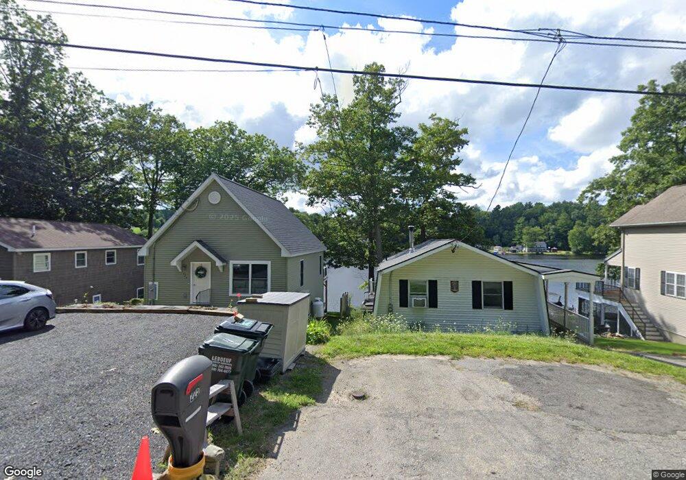
225 Sunset Dr Charlton, MA 01507
Estimated Value: $465,000 - $677,000
2
Beds
2
Baths
912
Sq Ft
$644/Sq Ft
Est. Value
About This Home
This home is located at 225 Sunset Dr, Charlton, MA 01507 and is currently estimated at $587,728, approximately $644 per square foot. 225 Sunset Dr is a home located in Worcester County with nearby schools including Shepherd Hill Regional High School.
Ownership History
Date
Name
Owned For
Owner Type
Purchase Details
Closed on
Aug 17, 2015
Sold by
Neff 2Nd Harry D and Neff Linda M
Bought by
Neff Linda M
Current Estimated Value
Purchase Details
Closed on
Nov 5, 2003
Sold by
Regis Susanne G
Bought by
Neff Harry D and Neff Linda M
Purchase Details
Closed on
Mar 15, 1979
Bought by
Neff Linda M
Create a Home Valuation Report for This Property
The Home Valuation Report is an in-depth analysis detailing your home's value as well as a comparison with similar homes in the area
Home Values in the Area
Average Home Value in this Area
Purchase History
| Date | Buyer | Sale Price | Title Company |
|---|---|---|---|
| Neff Linda M | -- | -- | |
| Neff Linda M | -- | -- | |
| Neff Harry D | -- | -- | |
| Neff Harry D | -- | -- | |
| Neff Linda M | $26,500 | -- |
Source: Public Records
Mortgage History
| Date | Status | Borrower | Loan Amount |
|---|---|---|---|
| Previous Owner | Neff Linda M | $103,500 | |
| Previous Owner | Neff Linda M | $95,200 | |
| Previous Owner | Neff Linda M | $86,100 |
Source: Public Records
Tax History Compared to Growth
Tax History
| Year | Tax Paid | Tax Assessment Tax Assessment Total Assessment is a certain percentage of the fair market value that is determined by local assessors to be the total taxable value of land and additions on the property. | Land | Improvement |
|---|---|---|---|---|
| 2025 | $6,562 | $589,600 | $218,700 | $370,900 |
| 2024 | $6,374 | $562,100 | $209,400 | $352,700 |
| 2023 | $3,966 | $325,900 | $197,700 | $128,200 |
| 2022 | $3,673 | $276,400 | $162,800 | $113,600 |
| 2021 | $3,445 | $229,500 | $154,900 | $74,600 |
| 2020 | $3,429 | $229,500 | $154,900 | $74,600 |
| 2019 | $3,390 | $229,500 | $154,900 | $74,600 |
| 2018 | $2,986 | $221,200 | $146,600 | $74,600 |
| 2017 | $2,895 | $205,300 | $139,600 | $65,700 |
| 2016 | $2,829 | $205,300 | $139,600 | $65,700 |
| 2015 | $2,755 | $205,300 | $139,600 | $65,700 |
| 2014 | $2,567 | $202,800 | $136,800 | $66,000 |
Source: Public Records
Map
Nearby Homes
- 208 Sunset Dr
- 199 Center Depot Rd
- 38 Stevens Park Rd
- 3 Cranberry Meadow Shore Rd
- 45 Jennings Rd
- 50 Old Spencer Rd
- 49 Jennings Rd
- 9 Knollwood Dr
- 65 Old Spencer Rd
- Lot 3 0 N Sullivan Rd
- Lot 6 0 N Sullivan Rd
- Lot 5 0 N Sullivan Rd
- Lot 4 0 N Sullivan Rd
- 204 Brookfield Rd
- 7 Little Muggett Rd
- 86 Jolicoeur Ave
- 216 Brookfield Rd
- 38 N Sullivan Rd
- 0 Worcester Rd
- 5 Carpenter Hill Rd