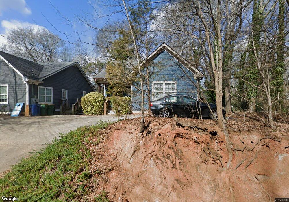
225 Third St Athens, GA 30601
Chicopee-Dudley NeighborhoodEstimated Value: $304,723 - $375,000
3
Beds
3
Baths
1,152
Sq Ft
$294/Sq Ft
Est. Value
About This Home
This home is located at 225 Third St, Athens, GA 30601 and is currently estimated at $338,931, approximately $294 per square foot. 225 Third St is a home located in Clarke County with nearby schools including Howard B. Stroud Elementary School, Coile Middle School, and Cedar Shoals High School.
Ownership History
Date
Name
Owned For
Owner Type
Purchase Details
Closed on
Oct 25, 2024
Sold by
Parker James William
Bought by
Egypt Ridge Llc
Current Estimated Value
Purchase Details
Closed on
Jun 24, 2015
Sold by
Parker Margaret F
Bought by
Parker James William
Purchase Details
Closed on
Jan 29, 2010
Sold by
Dickens Andre
Bought by
Parker William
Home Financials for this Owner
Home Financials are based on the most recent Mortgage that was taken out on this home.
Original Mortgage
$80,000
Interest Rate
5.16%
Mortgage Type
New Conventional
Create a Home Valuation Report for This Property
The Home Valuation Report is an in-depth analysis detailing your home's value as well as a comparison with similar homes in the area
Home Values in the Area
Average Home Value in this Area
Purchase History
| Date | Buyer | Sale Price | Title Company |
|---|---|---|---|
| Egypt Ridge Llc | -- | -- | |
| Parker James William | -- | -- | |
| Parker William | $100,000 | -- |
Source: Public Records
Mortgage History
| Date | Status | Borrower | Loan Amount |
|---|---|---|---|
| Previous Owner | Parker William | $80,000 |
Source: Public Records
Tax History
| Year | Tax Paid | Tax Assessment Tax Assessment Total Assessment is a certain percentage of the fair market value that is determined by local assessors to be the total taxable value of land and additions on the property. | Land | Improvement |
|---|---|---|---|---|
| 2025 | $3,847 | $123,908 | $26,000 | $97,908 |
| 2024 | $3,847 | $118,849 | $26,000 | $92,849 |
| 2023 | $3,714 | $108,188 | $24,000 | $84,188 |
| 2022 | $2,684 | $84,137 | $18,000 | $66,137 |
| 2021 | $2,271 | $67,403 | $18,000 | $49,403 |
| 2020 | $2,092 | $62,077 | $18,000 | $44,077 |
| 2019 | $1,901 | $55,986 | $14,000 | $41,986 |
| 2018 | $1,872 | $55,148 | $14,000 | $41,148 |
| 2017 | $1,807 | $53,220 | $14,000 | $39,220 |
| 2016 | $1,821 | $53,650 | $14,000 | $39,650 |
| 2015 | $1,558 | $45,810 | $14,000 | $31,810 |
| 2014 | -- | $46,153 | $14,000 | $32,153 |
Source: Public Records
Map
Nearby Homes
- 220 John St
- 200 John St
- 185 First St
- 178 First St
- 447 Rosa Nell Howard St
- 295 First St
- 225 Fourth St
- 755 E Broad St Unit 803
- 239 Madison Heights
- 1295 E Broad St Unit C5
- 1295 E Broad St
- 132 N Poplar St
- 126 S Poplar St
- 247 E Washington St Unit 302
- 247 E Washington St Unit 207
- 118 Ruth Dr Unit 130
- 118 Ruth Dr Unit 140
- 235 Arch St
- 940 College Ave
- 860 College Ave
Your Personal Tour Guide
Ask me questions while you tour the home.