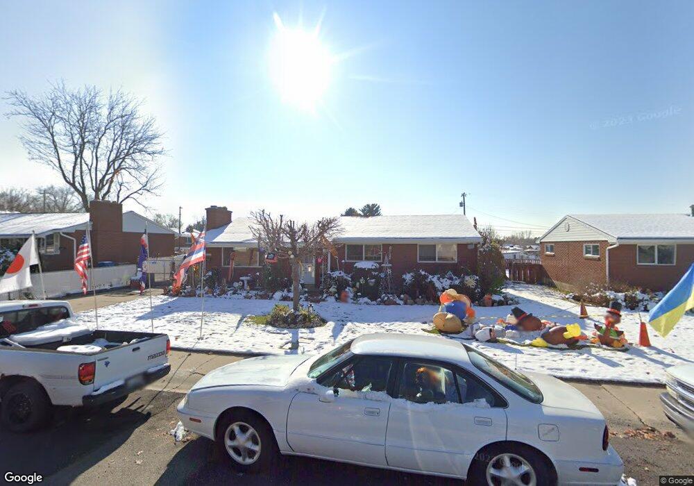
225 W 600 N American Fork, UT 84003
Estimated Value: $479,306 - $530,000
4
Beds
2
Baths
1,288
Sq Ft
$393/Sq Ft
Est. Value
About This Home
This home is located at 225 W 600 N, American Fork, UT 84003 and is currently estimated at $506,327, approximately $393 per square foot. 225 W 600 N is a home located in Utah County with nearby schools including Shelley Elementary School, American Fork Junior High School, and American Fork High School.
Ownership History
Date
Name
Owned For
Owner Type
Purchase Details
Closed on
Feb 23, 2006
Sold by
Manuela Ronald R W and Manuela Jean L Y N
Bought by
Manuela Ronald R W and Manuela Jean L Y N
Current Estimated Value
Home Financials for this Owner
Home Financials are based on the most recent Mortgage that was taken out on this home.
Original Mortgage
$102,000
Outstanding Balance
$57,252
Interest Rate
6.15%
Mortgage Type
New Conventional
Estimated Equity
$449,075
Purchase Details
Closed on
Feb 28, 1998
Sold by
Manuela Ronald Rowe Waiono and Manuela Jean Lei Yukiko Nakamoto
Bought by
Manuela Ronald R W and Manuela Jean L Y N
Home Financials for this Owner
Home Financials are based on the most recent Mortgage that was taken out on this home.
Original Mortgage
$96,000
Interest Rate
6.99%
Create a Home Valuation Report for This Property
The Home Valuation Report is an in-depth analysis detailing your home's value as well as a comparison with similar homes in the area
Home Values in the Area
Average Home Value in this Area
Purchase History
| Date | Buyer | Sale Price | Title Company |
|---|---|---|---|
| Manuela Ronald R W | -- | Affiliated First Title Comp | |
| Manuela Ronald R W | -- | -- |
Source: Public Records
Mortgage History
| Date | Status | Borrower | Loan Amount |
|---|---|---|---|
| Open | Manuela Ronald R W | $102,000 | |
| Closed | Manuela Ronald R W | $96,000 |
Source: Public Records
Tax History Compared to Growth
Tax History
| Year | Tax Paid | Tax Assessment Tax Assessment Total Assessment is a certain percentage of the fair market value that is determined by local assessors to be the total taxable value of land and additions on the property. | Land | Improvement |
|---|---|---|---|---|
| 2025 | $1,990 | $244,310 | $191,600 | $252,600 |
| 2024 | $1,990 | $221,100 | $0 | $0 |
| 2023 | $1,748 | $205,865 | $0 | $0 |
| 2022 | $2,015 | $234,245 | $0 | $0 |
| 2021 | $1,724 | $313,000 | $137,500 | $175,500 |
| 2020 | $1,611 | $283,800 | $122,800 | $161,000 |
| 2019 | $1,462 | $266,300 | $105,300 | $161,000 |
| 2018 | $1,348 | $234,700 | $94,700 | $140,000 |
| 2017 | $1,338 | $125,730 | $0 | $0 |
| 2016 | $1,271 | $110,990 | $0 | $0 |
| 2015 | $1,222 | $101,310 | $0 | $0 |
| 2014 | $1,156 | $94,545 | $0 | $0 |
Source: Public Records
Map
Nearby Homes
- 540 N 300 W
- 621 N 100 W
- 782 N 200 W
- 796 N 200 W
- 641 N 420 W
- 365 N 100 W
- 374 N Center St
- 356 N 480 W
- 183 E 760 St N
- 370 W Pacific Dr Unit 1
- 914 N 400 W Unit A
- 414 N 100 E
- 10238 N 6530 W Unit 15
- 1051 N 390 E Unit 103
- 6079 W Whisper Ln Unit 404
- 1220 E 700 N
- 1039 N 390 E Unit 102
- 11338 N Annes Way Unit 8
- 6111 W Whisper Ln Unit 402
- 3889 W 950 Cir N Unit 366