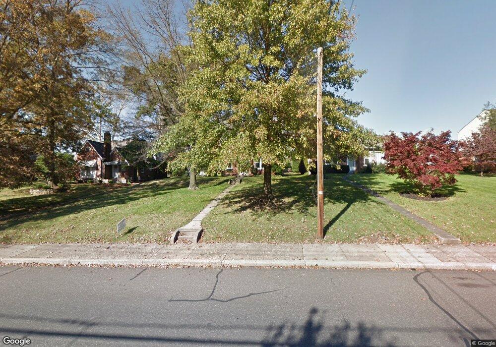
225 W Broad St Souderton, PA 18964
Estimated Value: $449,038 - $511,000
4
Beds
2
Baths
2,457
Sq Ft
$201/Sq Ft
Est. Value
About This Home
This home is located at 225 W Broad St, Souderton, PA 18964 and is currently estimated at $495,010, approximately $201 per square foot. 225 W Broad St is a home located in Montgomery County with nearby schools including West Broad Street Elementary School, Indian Crest Middle School, and Souderton Area Senior High School.
Ownership History
Date
Name
Owned For
Owner Type
Purchase Details
Closed on
Jan 17, 2019
Sold by
Poinsett Robert E and Poinsett Elizabeth K
Bought by
Ruth Ronald L and Ruth Bonnie G
Current Estimated Value
Home Financials for this Owner
Home Financials are based on the most recent Mortgage that was taken out on this home.
Original Mortgage
$112,500
Outstanding Balance
$98,910
Interest Rate
4.6%
Mortgage Type
New Conventional
Estimated Equity
$396,100
Purchase Details
Closed on
Jul 31, 1980
Bought by
Poinsett Robert E and Poinsett Elizabeth K
Create a Home Valuation Report for This Property
The Home Valuation Report is an in-depth analysis detailing your home's value as well as a comparison with similar homes in the area
Home Values in the Area
Average Home Value in this Area
Purchase History
| Date | Buyer | Sale Price | Title Company |
|---|---|---|---|
| Ruth Ronald L | -- | None Available | |
| Poinsett Robert E | $63,000 | -- |
Source: Public Records
Mortgage History
| Date | Status | Borrower | Loan Amount |
|---|---|---|---|
| Open | Ruth Ronald L | $112,500 |
Source: Public Records
Tax History Compared to Growth
Tax History
| Year | Tax Paid | Tax Assessment Tax Assessment Total Assessment is a certain percentage of the fair market value that is determined by local assessors to be the total taxable value of land and additions on the property. | Land | Improvement |
|---|---|---|---|---|
| 2025 | $6,042 | $133,800 | $55,410 | $78,390 |
| 2024 | $6,042 | $133,800 | $55,410 | $78,390 |
| 2023 | $5,682 | $133,800 | $55,410 | $78,390 |
| 2022 | $5,526 | $133,800 | $55,410 | $78,390 |
| 2021 | $5,391 | $133,800 | $55,410 | $78,390 |
| 2020 | $5,309 | $133,800 | $55,410 | $78,390 |
| 2019 | $5,252 | $133,800 | $55,410 | $78,390 |
| 2018 | $1,252 | $133,800 | $55,410 | $78,390 |
| 2017 | $5,103 | $133,800 | $55,410 | $78,390 |
| 2016 | $5,051 | $133,800 | $55,410 | $78,390 |
| 2015 | $4,961 | $133,800 | $55,410 | $78,390 |
| 2014 | $4,961 | $133,800 | $55,410 | $78,390 |
Source: Public Records
Map
Nearby Homes
- 44 Adams Ave
- 110 Washington Ave
- 124 Hollybush Cir
- 35 Chancery Ct Unit 35
- 44 Diamond St
- 51 Cambridge Ct Unit 51
- 316 Penn Ave
- 208 E Broad St
- 17 N 2nd St
- 216 W Cherry Ln Unit MAGNOLIA
- 216 W Cherry Ln Unit DEVONSHIRE
- 216 W Cherry Ln Unit ARCADIA
- 216 W Cherry Ln Unit COVINGTON
- 428 E Broad St
- 227 Ridge Ave
- 536 Valley Ln
- 517 Hemsing Cir
- 554 Harleysville Pike
- 532 Lincoln Ave
- 3 Carousel Dr
- 231 W Broad St
- 219 W Broad St
- 0001 Sydney Ln
- 209 W Broad St
- 235 W Broad St
- 203 W Broad St Unit A
- 203 W Broad St Unit B
- 203 W Broad St Unit A
- 203 W Broad St Unit B
- 239 W Broad St
- 228 W Broad St
- 214 W Chestnut St
- 234 W Broad St
- 222 W Broad St
- 230 W Broad St
- 30 West St
- 220 W Broad St Unit 13
- 245 W Broad St
- 123 W Broad St
- 236 W Broad St