2250 S 850 W Westpoint, IN 47992
Estimated Value: $445,658 - $471,000
--
Bed
1
Bath
2,363
Sq Ft
$193/Sq Ft
Est. Value
About This Home
This home is located at 2250 S 850 W, Westpoint, IN 47992 and is currently estimated at $456,915, approximately $193 per square foot. 2250 S 850 W is a home located in Tippecanoe County with nearby schools including Mintonye Elementary School, Southwestern Middle School, and McCutcheon High School.
Ownership History
Date
Name
Owned For
Owner Type
Purchase Details
Closed on
Oct 16, 2021
Sold by
Rowland Stephanie R and Rowland Steven W
Bought by
Rowland Stephanie R and Rowland Steven W
Current Estimated Value
Home Financials for this Owner
Home Financials are based on the most recent Mortgage that was taken out on this home.
Original Mortgage
$208,587
Outstanding Balance
$190,894
Interest Rate
3.05%
Estimated Equity
$266,021
Purchase Details
Closed on
Feb 14, 2003
Sold by
Shaw Stephanie R
Bought by
Shaw Stephanie R and Rowland Steven W
Home Financials for this Owner
Home Financials are based on the most recent Mortgage that was taken out on this home.
Original Mortgage
$171,500
Interest Rate
6.06%
Purchase Details
Closed on
Jan 29, 2001
Sold by
Shaw Stephanie R
Bought by
S & N Development Llc
Create a Home Valuation Report for This Property
The Home Valuation Report is an in-depth analysis detailing your home's value as well as a comparison with similar homes in the area
Home Values in the Area
Average Home Value in this Area
Purchase History
| Date | Buyer | Sale Price | Title Company |
|---|---|---|---|
| Rowland Stephanie R | -- | None Available | |
| Shaw Stephanie R | -- | -- | |
| S & N Development Llc | -- | -- |
Source: Public Records
Mortgage History
| Date | Status | Borrower | Loan Amount |
|---|---|---|---|
| Open | Rowland Stephanie R | $208,587 | |
| Closed | Shaw Stephanie R | $171,500 |
Source: Public Records
Tax History Compared to Growth
Tax History
| Year | Tax Paid | Tax Assessment Tax Assessment Total Assessment is a certain percentage of the fair market value that is determined by local assessors to be the total taxable value of land and additions on the property. | Land | Improvement |
|---|---|---|---|---|
| 2024 | $2,794 | $390,000 | $54,500 | $335,500 |
| 2023 | $1,896 | $277,700 | $26,600 | $251,100 |
| 2022 | $1,846 | $250,200 | $26,600 | $223,600 |
| 2021 | $1,614 | $222,300 | $26,600 | $195,700 |
| 2020 | $1,397 | $203,600 | $26,600 | $177,000 |
| 2019 | $1,314 | $196,300 | $26,600 | $169,700 |
| 2018 | $1,207 | $186,200 | $26,600 | $159,600 |
| 2017 | $1,167 | $183,400 | $26,600 | $156,800 |
| 2016 | $1,157 | $180,800 | $26,600 | $154,200 |
| 2014 | $1,083 | $171,800 | $26,600 | $145,200 |
| 2013 | $1,114 | $169,000 | $26,600 | $142,400 |
Source: Public Records
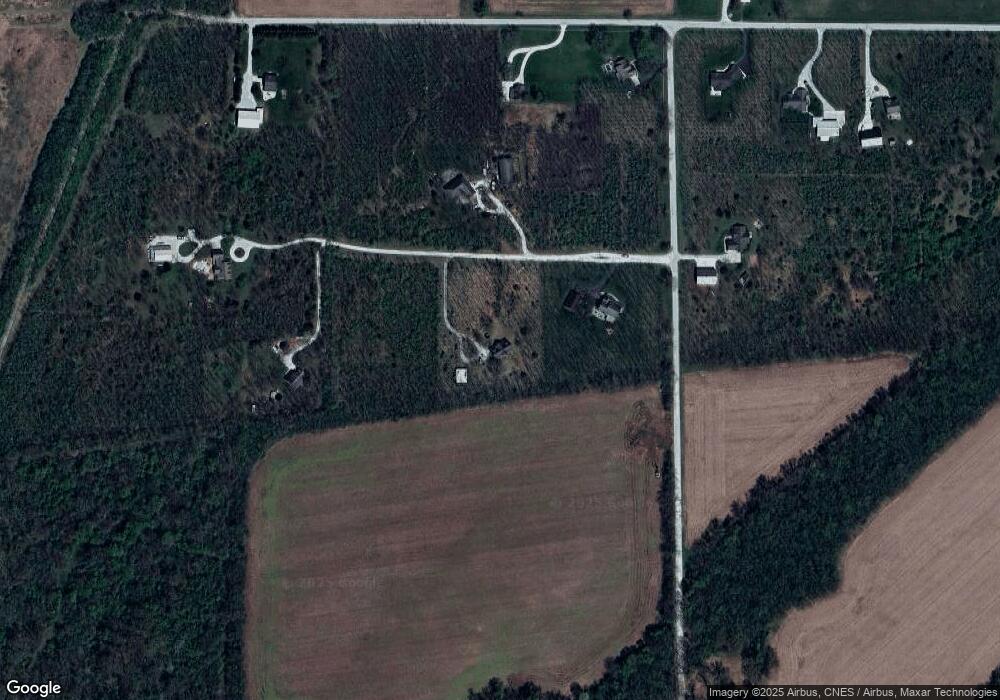
Map
Nearby Homes
- 1 Adeway Ct
- 8213 Division Rd
- 6791 Zachary Ct E
- 7150 Robert Ross Ln
- 7008 Main St
- 6956 Main St
- 6943 Main St
- 106 Timbercrest Rd
- 1724 Bent Tree Trail
- 6243 S 700 W
- 4511 Indiana 25
- Flint Rd. E 0
- 4510 Indiana 25
- 5940 Conkright Ln
- 8810 E Independence Rd
- 4400 Silver Shale Ln
- 4400 Silver Shale Ln
- 7220 W 350 N
- 10240 E 975 N Unit 35
- 10240 E 975 N Unit 31