Estimated Value: $180,000 - $629,377
--
Bed
--
Bath
--
Sq Ft
2
Acres
About This Home
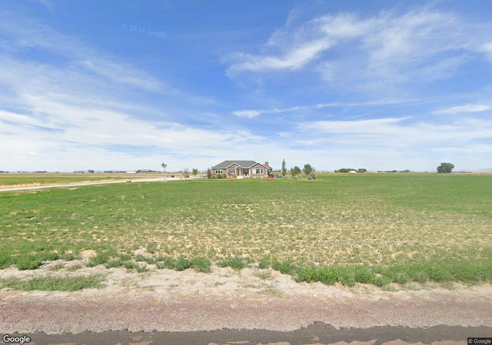
This home is located at 2250 W 500 N, Delta, UT 84624 and is currently estimated at $499,594. 2250 W 500 N is a home.
Ownership History
Date
Name
Owned For
Owner Type
Purchase Details
Closed on
Mar 5, 2021
Sold by
Finlinson Olan J and Finlinson Kara M
Bought by
Finlinson Kara M and Finlinson Olan J
Current Estimated Value
Home Financials for this Owner
Home Financials are based on the most recent Mortgage that was taken out on this home.
Original Mortgage
$225,000
Interest Rate
2.7%
Mortgage Type
New Conventional
Create a Home Valuation Report for This Property
The Home Valuation Report is an in-depth analysis detailing your home's value as well as a comparison with similar homes in the area
Home Values in the Area
Average Home Value in this Area
Purchase History
| Date | Buyer | Sale Price | Title Company |
|---|---|---|---|
| Finlinson Kara M | -- | Old Republic Title |
Source: Public Records
Mortgage History
| Date | Status | Borrower | Loan Amount |
|---|---|---|---|
| Closed | Finlinson Kara M | $225,000 |
Source: Public Records
Tax History Compared to Growth
Tax History
| Year | Tax Paid | Tax Assessment Tax Assessment Total Assessment is a certain percentage of the fair market value that is determined by local assessors to be the total taxable value of land and additions on the property. | Land | Improvement |
|---|---|---|---|---|
| 2024 | $3,380 | $383,505 | $14,348 | $369,157 |
| 2023 | $3,380 | $383,505 | $14,348 | $369,157 |
| 2022 | $2,819 | $249,947 | $14,350 | $235,597 |
| 2021 | $2,182 | $186,759 | $12,687 | $174,072 |
| 2020 | $1,965 | $169,435 | $12,683 | $156,752 |
| 2019 | $1,890 | $164,523 | $12,692 | $151,831 |
| 2018 | $1,631 | $145,599 | $12,761 | $132,838 |
| 2017 | $1,664 | $142,308 | $9,470 | $132,838 |
| 2016 | $1,589 | $142,308 | $9,470 | $132,838 |
| 2015 | $1,588 | $142,308 | $8,800 | $133,508 |
| 2014 | -- | $142,343 | $8,800 | $133,543 |
| 2013 | -- | $142,386 | $8,800 | $133,586 |
Source: Public Records
Map
Nearby Homes
- 9000 W 1500 Rd N
- 451 W 300 N
- 331 W 200 N
- 435 W 100 S
- 98 W 1000 N
- 185 N 200 W
- 1040 N Center St
- 391 N 100 Rd W
- 325 N 100 W
- 255 S 400 W
- 163 W 100 S
- 284 N Center St
- 328 S Center St
- 0 E Highway 6 Unit LotWP001 16586023
- 445 Topaz Blvd Unit 10
- 461 Topaz Blvd Unit 6
- 7900 E 250 Rd N
- 901 E 750 Rd N
- 628 Sunset St
- 6000 N 10000 W