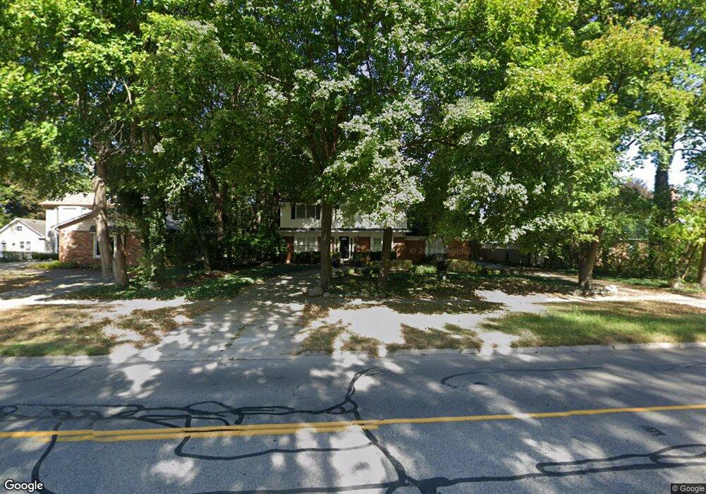
2250 W Maple Rd Bloomfield Hills, MI 48301
Estimated Value: $564,000 - $912,000
4
Beds
3
Baths
2,598
Sq Ft
$295/Sq Ft
Est. Value
About This Home
This home is located at 2250 W Maple Rd, Bloomfield Hills, MI 48301 and is currently estimated at $766,266, approximately $294 per square foot. 2250 W Maple Rd is a home located in Oakland County with nearby schools including Quarton Elementary, Derby Middle School, and Ernest W. Seaholm High School.
Ownership History
Date
Name
Owned For
Owner Type
Purchase Details
Closed on
Feb 24, 2004
Sold by
Matco Properties Llc
Bought by
Nichols Matthew S and Ryle Colin A
Current Estimated Value
Purchase Details
Closed on
Feb 20, 2004
Sold by
Matco Properties Llc
Bought by
Nichols Matthew S and Ryle Colin A
Create a Home Valuation Report for This Property
The Home Valuation Report is an in-depth analysis detailing your home's value as well as a comparison with similar homes in the area
Home Values in the Area
Average Home Value in this Area
Purchase History
| Date | Buyer | Sale Price | Title Company |
|---|---|---|---|
| Nichols Matthew S | -- | -- | |
| Nichols Matthew S | -- | -- |
Source: Public Records
Tax History Compared to Growth
Tax History
| Year | Tax Paid | Tax Assessment Tax Assessment Total Assessment is a certain percentage of the fair market value that is determined by local assessors to be the total taxable value of land and additions on the property. | Land | Improvement |
|---|---|---|---|---|
| 2024 | $3,320 | $267,510 | $0 | $0 |
| 2023 | $3,186 | $239,160 | $0 | $0 |
| 2022 | $6,869 | $221,660 | $0 | $0 |
| 2021 | $6,179 | $228,290 | $0 | $0 |
| 2020 | $3,061 | $223,670 | $0 | $0 |
| 2019 | $6,904 | $218,820 | $0 | $0 |
| 2018 | $6,833 | $208,810 | $0 | $0 |
| 2017 | $7,025 | $203,450 | $0 | $0 |
| 2016 | $5,674 | $197,560 | $0 | $0 |
| 2015 | -- | $188,020 | $0 | $0 |
| 2014 | -- | $170,780 | $0 | $0 |
| 2011 | -- | $118,180 | $0 | $0 |
Source: Public Records
Map
Nearby Homes
- 120 Westchester Way
- 394 S Glenhurst Dr
- 397 S Cranbrook Rd
- 345 Kimberly St
- 1834 Fairview St
- 695 Westchester Way
- 1882 Melbourne St
- 520 Pleasant St
- 2579 Amberly Rd
- 222 Arlington St
- 586 Fairfax St
- 1019 N Cranbrook Rd
- 2802 Heathfield Rd
- 956 Westwood Dr
- 786 S Cranbrook Rd
- 2721 Heathfield Rd
- 100 Overhill Rd
- 999 Pleasant Ave
- 2330 Fairway Dr
- 1777 Fairway Dr
- 135 Waddington St
- 185 Tilbury Rd
- 000 Wellesley St
- 0 Wellesley St Unit 4961511
- 0 Wellesley St Unit 4972343
- 0 Wellesley St Unit 215027615
- 0 Wellesley St Unit 215116275
- 237 Tilbury Rd
- 2300 W Maple Rd
- 2261 W Maple Rd
- 2247 W Maple Rd
- 2283 W Maple Rd
- 130 Waddington St
- 164 Waddington St
- 2235 W Maple Rd
- 283 Tilbury Rd
- 2299 W Maple Rd
- 188 Waddington St
- 231 Waddington St
- 2195 W Maple Rd Unit Bldg-Unit