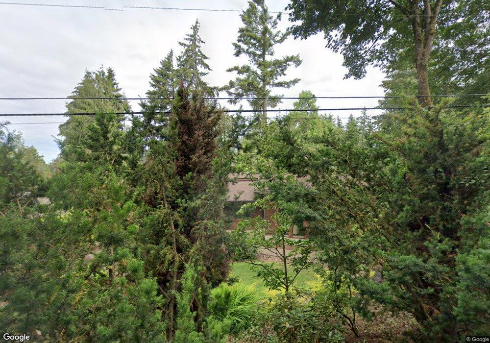
2251 Prestwick Rd Lake Oswego, OR 97034
Uplands NeighborhoodEstimated Value: $1,389,000 - $1,676,299
3
Beds
2
Baths
2,236
Sq Ft
$662/Sq Ft
Est. Value
About This Home
This home is located at 2251 Prestwick Rd, Lake Oswego, OR 97034 and is currently estimated at $1,479,575, approximately $661 per square foot. 2251 Prestwick Rd is a home located in Clackamas County with nearby schools including Forest Hills Elementary School, Lake Oswego Junior High School, and Lake Oswego Senior High School.
Ownership History
Date
Name
Owned For
Owner Type
Purchase Details
Closed on
Sep 16, 2010
Sold by
Cook Dale
Bought by
Northup Colleen and Northup Loren
Current Estimated Value
Purchase Details
Closed on
May 7, 2010
Sold by
Cook Dale
Bought by
Levison Scott M and Levison Sarah M
Purchase Details
Closed on
Apr 22, 2005
Sold by
Staedter Carla
Bought by
Cook Dale
Purchase Details
Closed on
May 2, 2001
Sold by
Bennett Joseph F and Bennett Colleen
Bought by
Cook Dale P and Staedter Carla K
Home Financials for this Owner
Home Financials are based on the most recent Mortgage that was taken out on this home.
Original Mortgage
$150,000
Interest Rate
6.92%
Create a Home Valuation Report for This Property
The Home Valuation Report is an in-depth analysis detailing your home's value as well as a comparison with similar homes in the area
Home Values in the Area
Average Home Value in this Area
Purchase History
| Date | Buyer | Sale Price | Title Company |
|---|---|---|---|
| Northup Colleen | $9,000 | None Available | |
| Levison Scott M | $407,250 | Chicago Title Ins Company Or | |
| Cook Dale | -- | -- | |
| Cook Dale P | $313,000 | Fidelity National Title Co |
Source: Public Records
Mortgage History
| Date | Status | Borrower | Loan Amount |
|---|---|---|---|
| Previous Owner | Cook Dale P | $150,000 |
Source: Public Records
Tax History Compared to Growth
Tax History
| Year | Tax Paid | Tax Assessment Tax Assessment Total Assessment is a certain percentage of the fair market value that is determined by local assessors to be the total taxable value of land and additions on the property. | Land | Improvement |
|---|---|---|---|---|
| 2025 | $16,873 | $878,600 | -- | -- |
| 2024 | $16,423 | $853,010 | -- | -- |
| 2023 | $16,423 | $828,166 | $0 | $0 |
| 2022 | $15,467 | $804,045 | $0 | $0 |
| 2021 | $14,286 | $780,627 | $0 | $0 |
| 2020 | $13,927 | $757,891 | $0 | $0 |
| 2019 | $13,584 | $735,817 | $0 | $0 |
| 2018 | $12,918 | $714,385 | $0 | $0 |
| 2017 | $12,465 | $693,578 | $0 | $0 |
| 2016 | $11,348 | $673,377 | $0 | $0 |
| 2015 | $10,964 | $653,764 | $0 | $0 |
| 2014 | $10,822 | $634,722 | $0 | $0 |
Source: Public Records
Map
Nearby Homes
- 2217 Prestwick Rd
- 2088 Crest Dr
- 2560 Glen Eagles Place
- 2703 Glen Eagles Rd
- 14400 Uplands Dr
- 1990 Indian Trail
- 2240 Summit Ct
- 1604 Country Club Rd
- 13920 Shireva Dr
- 15370 Twin Fir Rd
- 15948 Twin Fir Rd
- 13652 Johnson Terrace Rd
- 13801 Goodall Rd Unit 2
- 13801 Goodall Rd Unit 3
- 15947 Twin Fir Rd
- 2 Falstaff St
- 50 Touchstone
- 13501 Knaus Rd
- 13585 Goodall Rd
- 3 Mountain Cir
- 2311 Prestwick Rd
- 2170 Crest Dr
- 2150 Crest Dr
- 2176 Crest Dr
- 2323 Prestwick Rd
- 2220 Prestwick Rd
- 2066 Crest Dr
- 2200 Prestwick Rd
- 2331 Prestwick Rd
- 2126 Crest Dr
- 2190 Crest Dr
- 2180 Prestwick Rd
- 2240 Prestwick Rd
- 2399 Prestwick Rd
- 2201 Crest Dr
- 2175 Crest Dr
- 2161 Crest Dr
- 2151 Crest Dr
- 2180 Crest Dr
- 2100 Crest Dr