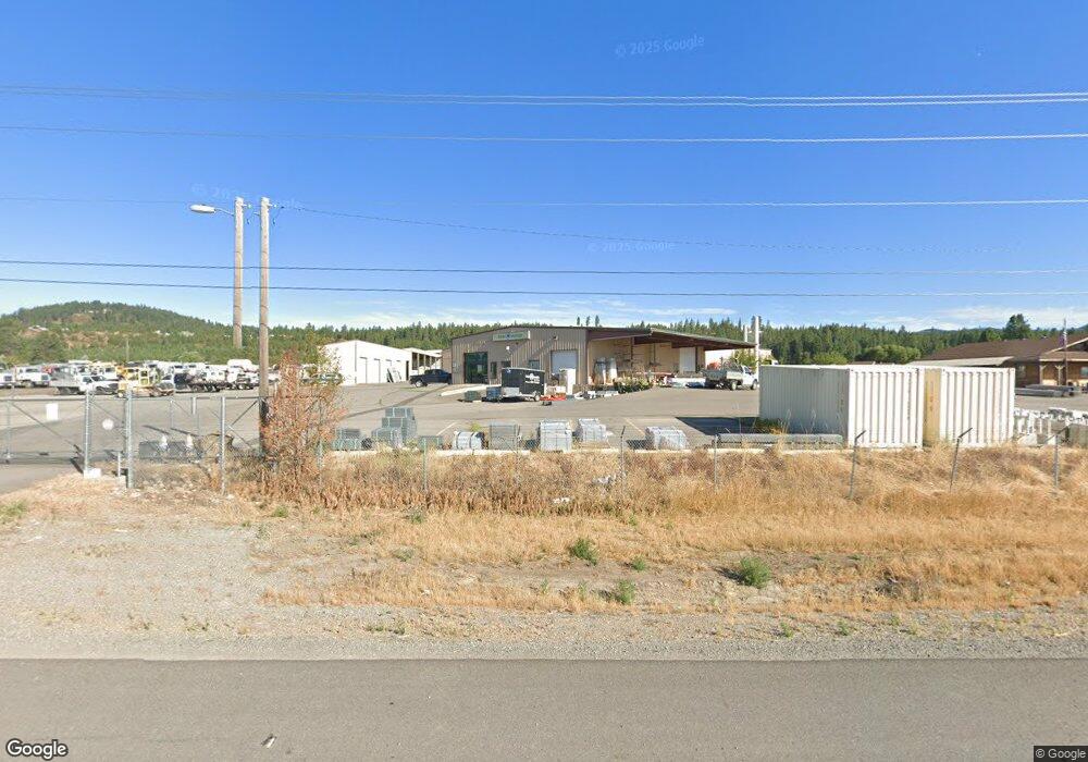
22515 W Highway 53 Rathdrum, ID 83858
Estimated Value: $1,616,939
--
Bed
--
Bath
21,797
Sq Ft
$74/Sq Ft
Est. Value
About This Home
This home is located at 22515 W Highway 53, Rathdrum, ID 83858 and is currently estimated at $1,616,939, approximately $74 per square foot. 22515 W Highway 53 is a home located in Kootenai County with nearby schools including Betty Kiefer Elementary School, Lakeland Middle School, and Lakeland Senior High School.
Ownership History
Date
Name
Owned For
Owner Type
Purchase Details
Closed on
Feb 3, 2022
Sold by
Lawfam Llc
Bought by
State Of Idaho Idaho Transportation Board and Idaho Transportation Department
Current Estimated Value
Purchase Details
Closed on
Oct 9, 2013
Sold by
Wolcott Properties Llc
Bought by
Lawfam Llc
Home Financials for this Owner
Home Financials are based on the most recent Mortgage that was taken out on this home.
Original Mortgage
$723,326
Interest Rate
4.55%
Mortgage Type
Commercial
Create a Home Valuation Report for This Property
The Home Valuation Report is an in-depth analysis detailing your home's value as well as a comparison with similar homes in the area
Home Values in the Area
Average Home Value in this Area
Purchase History
| Date | Buyer | Sale Price | Title Company |
|---|---|---|---|
| State Of Idaho Idaho Transportation Board | -- | Kootenai County Title | |
| Lawfam Llc | -- | Pioneer Title Kootenai Count |
Source: Public Records
Mortgage History
| Date | Status | Borrower | Loan Amount |
|---|---|---|---|
| Previous Owner | Lawfam Llc | $723,326 |
Source: Public Records
Tax History Compared to Growth
Tax History
| Year | Tax Paid | Tax Assessment Tax Assessment Total Assessment is a certain percentage of the fair market value that is determined by local assessors to be the total taxable value of land and additions on the property. | Land | Improvement |
|---|---|---|---|---|
| 2025 | $5,012 | $1,344,156 | $483,760 | $860,396 |
| 2024 | $5,012 | $1,205,992 | $345,546 | $860,446 |
| 2023 | $5,012 | $1,205,992 | $345,546 | $860,446 |
| 2022 | $4,535 | $1,073,606 | $213,160 | $860,446 |
| 2021 | $6,431 | $886,701 | $213,160 | $673,541 |
| 2020 | $7,256 | $886,408 | $212,518 | $673,890 |
| 2019 | $8,351 | $888,724 | $184,800 | $703,924 |
Source: Public Records
Map
Nearby Homes
- 11470 N Church Rd
- 11248 N Bruss Rd
- 11583 N Sunrise Ct
- 10320 N Payment Peak Rd
- 10653 N Payment Peak Rd
- 16691 W Hollister Hills Dr
- NKA W Julia Dr
- 8394 N Chase Rd
- NKA N Woodlake Dr
- 8760 N Argyle St
- 16364 W Hollister Hills Dr
- L6B9 N Walden Loop
- 16024 W Hollister Hills Dr
- L6B5 N Spiral Ridge Trail
- Lot13 Blk5 N Spiral Ridge Trail
- L7B5 N Spiral Ridge Trail
- L6B10 N Walden Loop
- 8236 N Chase Rd
- 13559 W Prairie Ave
- 13429 W Prairie Ave
- 10101 N Church Rd
- 13772 W Hoyt Rd
- 13834 W Hoyt Rd
- 10279 N Church Rd
- 14002 W Hoyt Rd
- 22769 W Highway 53
- 13984 W Hoyt Rd
- 10278 N Church Rd
- 10437 N Church Rd
- 10421 N Church Rd
- 22873 W Highway 53
- 10453 N Church Rd
- 14151 W Hoyt Rd
- 22909 W Highway 53
- 23003 W Highway 53
- 10457 N Church Rd
- 14310 W Hoyt Rd
- 0 W Hoyt Rd
- 15622 W Hoyt Rd
- W W Hoyt Rd