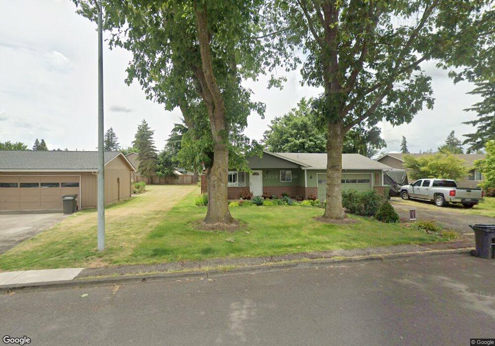
2252 Allan Ave Hubbard, OR 97032
Estimated Value: $424,000 - $468,000
3
Beds
2
Baths
1,200
Sq Ft
$369/Sq Ft
Est. Value
About This Home
This home is located at 2252 Allan Ave, Hubbard, OR 97032 and is currently estimated at $442,681, approximately $368 per square foot. 2252 Allan Ave is a home located in Marion County with nearby schools including North Marion Primary School, North Marion Middle School, and North Marion High School.
Ownership History
Date
Name
Owned For
Owner Type
Purchase Details
Closed on
Jun 23, 2004
Sold by
Peterson Rulene E
Bought by
Houtary Glenn and Houtary Karla Jean
Current Estimated Value
Home Financials for this Owner
Home Financials are based on the most recent Mortgage that was taken out on this home.
Original Mortgage
$126,250
Outstanding Balance
$62,380
Interest Rate
6.27%
Mortgage Type
Purchase Money Mortgage
Estimated Equity
$380,301
Create a Home Valuation Report for This Property
The Home Valuation Report is an in-depth analysis detailing your home's value as well as a comparison with similar homes in the area
Home Values in the Area
Average Home Value in this Area
Purchase History
| Date | Buyer | Sale Price | Title Company |
|---|---|---|---|
| Houtary Glenn | $151,250 | Ticor Title Insurance Compan |
Source: Public Records
Mortgage History
| Date | Status | Borrower | Loan Amount |
|---|---|---|---|
| Open | Houtary Glenn | $126,250 |
Source: Public Records
Tax History
| Year | Tax Paid | Tax Assessment Tax Assessment Total Assessment is a certain percentage of the fair market value that is determined by local assessors to be the total taxable value of land and additions on the property. | Land | Improvement |
|---|---|---|---|---|
| 2025 | $3,502 | $235,540 | -- | -- |
| 2024 | $3,502 | $228,680 | -- | -- |
| 2023 | $3,380 | $222,020 | $0 | $0 |
| 2022 | $3,210 | $215,560 | $0 | $0 |
| 2021 | $3,096 | $209,290 | $0 | $0 |
| 2020 | $3,032 | $203,200 | $0 | $0 |
| 2019 | $2,775 | $197,290 | $0 | $0 |
| 2018 | $2,777 | $0 | $0 | $0 |
| 2017 | $2,628 | $0 | $0 | $0 |
| 2016 | $2,566 | $0 | $0 | $0 |
| 2015 | $2,508 | $0 | $0 | $0 |
| 2014 | $2,410 | $0 | $0 | $0 |
Source: Public Records
Map
Nearby Homes
- 2366 Baines Blvd
- 2514 Baines Blvd
- 2542 Baines Blvd
- 2367 Dorsey Dr
- 2469 Dorsey Dr
- 2726 Nina Place
- 2782 Nina Place
- 3289 Ash St Unit 61
- 3370 Maple St
- 3370 Maple St Unit 44
- 3921 Pacific Cir
- 18767 Oregon 99e
- 18767 Highway 99e
- 2601 N Lydia Loop
- 13032 Mapleleaf Ct NE
- 12602 Fry Rd NE
- 16688 Highway 99e NE
- 16688 Highway 99e NE Unit 54
- 10667 Hovenden Ln NE
- 19931 Fobert Rd NE
- 2232 Allan Ave
- 2272 Allan Ave
- 2283 Thomas Way
- 2292 Allan Ave
- 2212 Allan Ave
- 2267 Thomas Way
- 2345 Thomas Way
- 2245 Thomas Way
- 2241 Thomas Way
- 2253 Allan Ave
- 2233 Allan Ave
- 2283 Allan Ave
- 2332 Allan Ave
- 2192 Allan Ave
- 2213 Allan Ave
- 3997 8th St
- 2372 Allan Ave
- 2193 Allan Ave
- 2389 Thomas Ct
- 2185 Thomas Way
Your Personal Tour Guide
Ask me questions while you tour the home.