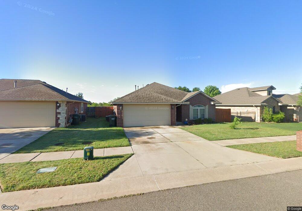
2252 Red Hawk Cir Edmond, OK 73012
West Edmond NeighborhoodEstimated Value: $235,361 - $263,000
3
Beds
2
Baths
1,465
Sq Ft
$173/Sq Ft
Est. Value
About This Home
This home is located at 2252 Red Hawk Cir, Edmond, OK 73012 and is currently estimated at $253,090, approximately $172 per square foot. 2252 Red Hawk Cir is a home located in Oklahoma County with nearby schools including Frontier Elementary, Heartland Middle School, and Santa Fe High School.
Ownership History
Date
Name
Owned For
Owner Type
Purchase Details
Closed on
Jun 9, 2011
Sold by
The Scissortail Homeowners Association
Bought by
Lennart John and Lennart Davin
Current Estimated Value
Purchase Details
Closed on
Aug 29, 2008
Sold by
Colony Homes Inc
Bought by
Mcdow Davin K and Lenhart John M
Home Financials for this Owner
Home Financials are based on the most recent Mortgage that was taken out on this home.
Original Mortgage
$150,265
Interest Rate
6.54%
Mortgage Type
FHA
Create a Home Valuation Report for This Property
The Home Valuation Report is an in-depth analysis detailing your home's value as well as a comparison with similar homes in the area
Home Values in the Area
Average Home Value in this Area
Purchase History
| Date | Buyer | Sale Price | Title Company |
|---|---|---|---|
| Lennart John | -- | None Available | |
| Mcdow Davin K | $153,000 | First American Title & Tr Co |
Source: Public Records
Mortgage History
| Date | Status | Borrower | Loan Amount |
|---|---|---|---|
| Previous Owner | Mcdow Davin K | $150,265 |
Source: Public Records
Tax History Compared to Growth
Tax History
| Year | Tax Paid | Tax Assessment Tax Assessment Total Assessment is a certain percentage of the fair market value that is determined by local assessors to be the total taxable value of land and additions on the property. | Land | Improvement |
|---|---|---|---|---|
| 2024 | $2,315 | $21,793 | $2,963 | $18,830 |
| 2023 | $2,315 | $20,755 | $2,962 | $17,793 |
| 2022 | $2,068 | $19,767 | $3,288 | $16,479 |
| 2021 | $1,961 | $18,826 | $3,459 | $15,367 |
| 2020 | $2,021 | $17,930 | $3,212 | $14,718 |
| 2019 | $126 | $17,270 | $3,212 | $14,058 |
| 2018 | $124 | $16,940 | $0 | $0 |
| 2017 | $125 | $17,159 | $3,212 | $13,947 |
| 2016 | $1,923 | $16,994 | $2,862 | $14,132 |
| 2015 | $1,773 | $16,776 | $2,862 | $13,914 |
| 2014 | $1,699 | $16,096 | $3,198 | $12,898 |
Source: Public Records
Map
Nearby Homes
- 21070 Highlander Ridge Dr
- 20960 Highlander Ridge Dr
- 2377 NW 206th St
- 20897 Highlander Ridge Dr
- 21877 Homesteaders Rd
- 21574 Lake Shadows Dr
- 21930 Homesteaders Place
- 21919 Pleasant Ridge Rd
- 21687 Coffee Tree Cir
- 21998 Homesteaders Rd
- 3308 Holland Cir
- 3324 Holland Cir
- 3316 Holland Cir
- 2300 NW 220th Terrace
- 22057 Water Oak Cir
- 2305 NW 198th St
- 2317 NW 198th St
- 3324 Courtney Creek Dr
- 22576 Pine Bluff Way
- 2341 NW 197th St
- 2246 Red Hawk Cir
- 2260 Red Hawk Cir
- 2272 Red Hawk Cir
- 21140 Morning Song Dr
- 2243 Red Hawk Cir
- 2238 Blue Jay Dr
- 21136 Morning Song Dr
- 21152 Morning Song Dr
- 2237 Red Hawk Cir
- 21147 Morning Song Dr
- 2229 Red Hawk Cir
- 2242 Blue Jay Dr
- 2239 Blue Jay Dr
- 2248 Melody Dr
- 2240 Melody Dr
- 2232 Melody Dr
- 2226 Melody Dr
- 2254 Blue Jay Dr
- 21151 Morning Song Dr
- 2251 Blue Jay Dr