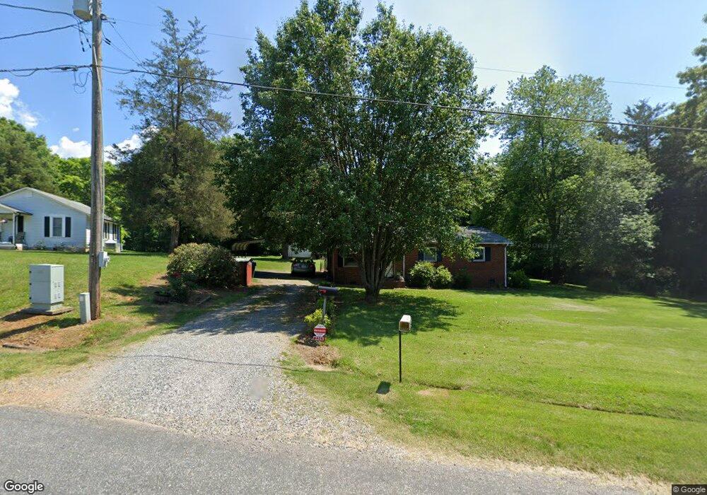
2253 Bristol Rd Statesville, NC 28677
Estimated Value: $133,066 - $199,000
3
Beds
1
Bath
1,000
Sq Ft
$164/Sq Ft
Est. Value
About This Home
This home is located at 2253 Bristol Rd, Statesville, NC 28677 and is currently estimated at $164,267, approximately $164 per square foot. 2253 Bristol Rd is a home located in Iredell County with nearby schools including N.B. Mills Elementary School, West Iredell Middle School, and West Iredell High School.
Ownership History
Date
Name
Owned For
Owner Type
Purchase Details
Closed on
Sep 24, 2025
Sold by
Sherrill David H and Ellis-Sherrill Kimberly
Bought by
Sherrill Michael Alvin and Sherrill Brenda Lee
Current Estimated Value
Purchase Details
Closed on
Jan 25, 2017
Sold by
Sherrill Nancy Bustle and Sherrill David H
Bought by
Sherrill Nancy Bustle and Sherrill David H
Purchase Details
Closed on
Sep 16, 2003
Sold by
Bustle Sherrill Alvin H and Bustle Sherrill Nancy
Bought by
Bustle Sherrill Alvin H and Bustle Sherrill Nancy
Purchase Details
Closed on
Jan 22, 1960
Create a Home Valuation Report for This Property
The Home Valuation Report is an in-depth analysis detailing your home's value as well as a comparison with similar homes in the area
Home Values in the Area
Average Home Value in this Area
Purchase History
| Date | Buyer | Sale Price | Title Company |
|---|---|---|---|
| Sherrill Michael Alvin | $20,000 | None Listed On Document | |
| Sherrill Nancy Bustle | $2,000 | None Available | |
| Bustle Sherrill Alvin H | -- | -- | |
| -- | -- | -- |
Source: Public Records
Tax History Compared to Growth
Tax History
| Year | Tax Paid | Tax Assessment Tax Assessment Total Assessment is a certain percentage of the fair market value that is determined by local assessors to be the total taxable value of land and additions on the property. | Land | Improvement |
|---|---|---|---|---|
| 2024 | $500 | $74,580 | $16,500 | $58,080 |
| 2023 | $250 | $74,580 | $16,500 | $58,080 |
| 2022 | $135 | $41,720 | $7,150 | $34,570 |
| 2021 | $133 | $41,720 | $7,150 | $34,570 |
| 2020 | $133 | $41,720 | $7,150 | $34,570 |
| 2019 | $131 | $41,720 | $7,150 | $34,570 |
| 2018 | $77 | $33,570 | $5,500 | $28,070 |
| 2017 | $77 | $33,570 | $5,500 | $28,070 |
| 2016 | $253 | $33,570 | $5,500 | $28,070 |
| 2015 | $253 | $33,570 | $5,500 | $28,070 |
| 2014 | $292 | $43,330 | $5,500 | $37,830 |
Source: Public Records
Map
Nearby Homes
- 3 Williams Ave
- 812 Candy Dr
- 818 Candy Dr
- 1309 Williams Rd
- Robie Plan at Bristol Terrace
- Penwell Plan at Bristol Terrace
- Hayden Plan at Bristol Terrace
- 119 Mary Locke Way
- Cali Plan at Bristol Terrace
- Aria Plan at Bristol Terrace
- Darwin Plan at Bristol Terrace
- Hamilton Plan at Bristol Terrace
- 131 Mary Locke Way
- Galen Plan at Bristol Terrace
- Aisle Plan at Bristol Terrace
- 1120 Rita Ave
- 1129 Rita Ave
- 289 Mary Locke Way
- 2321 Cline St
- 417 Central Dr
- 2251 Bristol Rd
- 2250 Bristol Rd
- 000 Bristol Rd
- 2339 Newton Dr
- 2231 Bristol Rd
- 2224 Bristol Rd
- 2230 Bristol Rd
- 00 Newton Dr
- 000 Newton Dr
- 0 Newton Dr
- 1501-1599 Newton Dr
- 2416 Hwy 70 Rd
- 2329 Newton Dr
- 2211 Bristol Rd
- 2504 Newton Dr
- 2208 Bristol Rd
- 2321 Newton Dr
- 2321 Newton Dr Unit 6 + PT5
- 2321 Newton Dr Unit 6,7,8,9,10 PT5
- 2336 Newton Dr