2253 Fields McGhee Dr Canton, GA 30114
Estimated Value: $858,000 - $1,043,000
4
Beds
5
Baths
4,505
Sq Ft
$205/Sq Ft
Est. Value
About This Home
This home is located at 2253 Fields McGhee Dr, Canton, GA 30114 and is currently estimated at $921,626, approximately $204 per square foot. 2253 Fields McGhee Dr is a home located in Cherokee County with nearby schools including Clayton Elementary School, Teasley Middle School, and Cherokee High School.
Ownership History
Date
Name
Owned For
Owner Type
Purchase Details
Closed on
Aug 16, 2016
Sold by
Patricia
Bought by
Baker Patricia and Mcelroy Scott
Current Estimated Value
Purchase Details
Closed on
Aug 26, 2013
Sold by
Mastroserio Joseph
Bought by
Baker Patricia
Purchase Details
Closed on
Nov 30, 2011
Sold by
Baker Patricia
Bought by
Baker Patricia and Mastroserio Joseph
Purchase Details
Closed on
Apr 22, 2005
Sold by
Mastroserio Joseph and Mastroserio Ann
Bought by
Baker Patricia
Create a Home Valuation Report for This Property
The Home Valuation Report is an in-depth analysis detailing your home's value as well as a comparison with similar homes in the area
Home Values in the Area
Average Home Value in this Area
Purchase History
| Date | Buyer | Sale Price | Title Company |
|---|---|---|---|
| Baker Patricia | -- | -- | |
| Baker Patricia | -- | -- | |
| Baker Patricia | -- | -- | |
| Baker Patricia | -- | -- |
Source: Public Records
Tax History
| Year | Tax Paid | Tax Assessment Tax Assessment Total Assessment is a certain percentage of the fair market value that is determined by local assessors to be the total taxable value of land and additions on the property. | Land | Improvement |
|---|---|---|---|---|
| 2025 | $8,327 | $317,072 | $64,080 | $252,992 |
| 2024 | $3,877 | $301,336 | $45,760 | $255,576 |
| 2023 | $2,596 | $249,836 | $38,600 | $211,236 |
| 2022 | $2,163 | $203,360 | $32,880 | $170,480 |
| 2021 | $1,709 | $174,640 | $28,600 | $146,040 |
| 2020 | $1,572 | $158,080 | $28,600 | $129,480 |
| 2019 | $4,022 | $155,000 | $28,600 | $126,400 |
| 2018 | $3,917 | $149,720 | $28,600 | $121,120 |
| 2017 | $3,987 | $378,800 | $28,600 | $122,920 |
| 2016 | $3,823 | $357,700 | $28,600 | $114,480 |
| 2015 | $3,905 | $362,000 | $28,600 | $116,200 |
| 2014 | $2,614 | $227,900 | $27,080 | $64,080 |
Source: Public Records
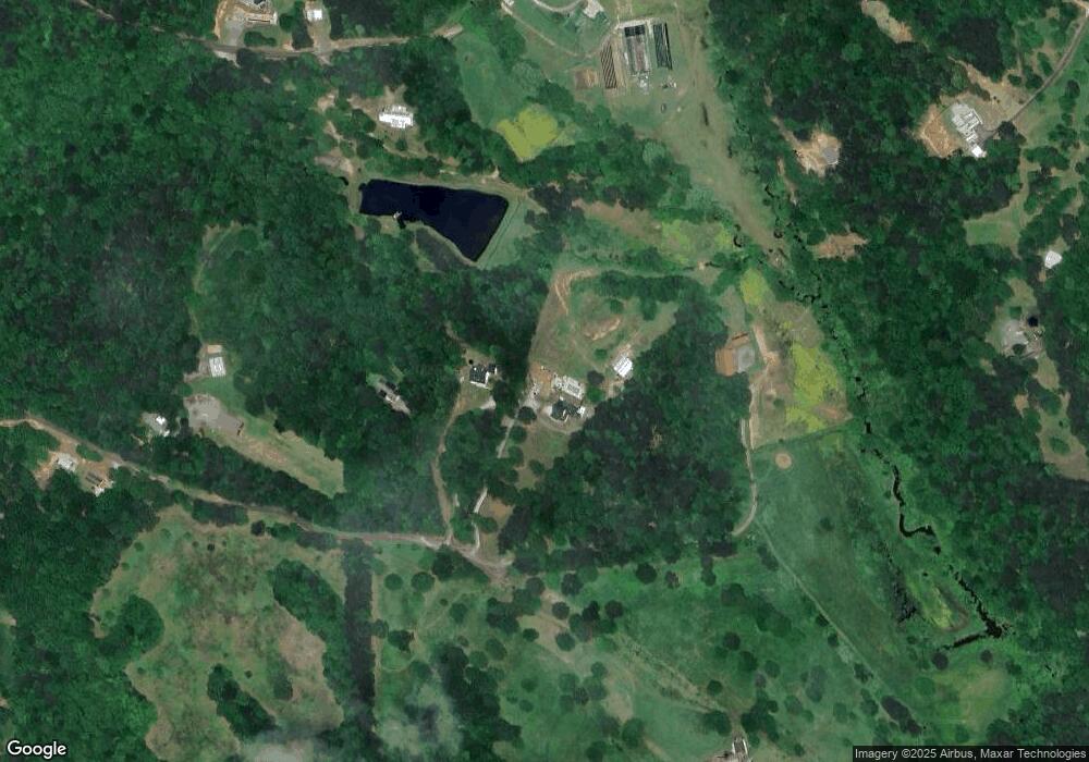
Map
Nearby Homes
- 14430 Fincher Rd
- 2200 Upper Burris Rd
- 2226 Upper Burris Rd
- 0 Upper Bethany Rd Unit 10574949
- 0 Upper Bethany Rd Unit 7619918
- 14402 Fincher Rd
- 649 Dixon Rd
- 171 Bluff Creek Ln
- 13375 Fincher Rd
- 115 Brighton Rd
- 3869 Lower Burris Rd
- 1000 Spring Creek Dr
- 340 Dry Pond Ln
- 2243 Damascus Rd
- 2197 Damascus Rd
- 733 Pleasant Union Rd
- 1950 Damascus Rd
- 608 Red Leaf Way
- 946 Essic Rd
- 465 Old Fincher Ct
- 1979 Fields McGhee Dr
- 1455 Fields McGhee Dr
- 102 Fields McGhee Dr
- 427 Chadwick Place
- 1225 Henry Turner Trail
- 395 Upper Bethany Trail
- 395 Upper Bethany Trail Unit 14AC
- 420 Chadwick Place
- 825 Henry Turner Trail
- 425 Chadwick Place
- 760 Henry Turner Trail
- 332 Martin Ln
- 750 Henry Turner Trail
- 730 Henry Turner Trail
- 126 Carney Dr
- 124 Carney Dr
- 128 Carney Dr
- 130 Carney Dr Unit 30
- 130 Carney Dr
- 122 Carney Dr