Estimated Value: $88,000 - $155,000
--
Bed
2
Baths
1,640
Sq Ft
$73/Sq Ft
Est. Value
About This Home
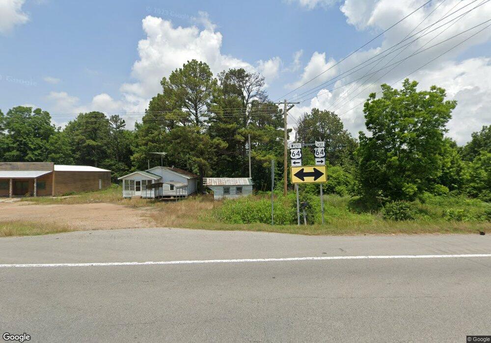
This home is located at 2253 Highway 193, Wynne, AR 72396 and is currently estimated at $119,828, approximately $73 per square foot. 2253 Highway 193 is a home located in Cross County with nearby schools including Wynne Primary School, Wynne Intermediate School, and Wynne Junior High School.
Ownership History
Date
Name
Owned For
Owner Type
Purchase Details
Closed on
Feb 6, 2024
Sold by
Tiller Land Development Llc
Bought by
Landform I Llc
Current Estimated Value
Purchase Details
Closed on
Apr 16, 1993
Bought by
Boeckmann Alfred William and Revocable Trust
Create a Home Valuation Report for This Property
The Home Valuation Report is an in-depth analysis detailing your home's value as well as a comparison with similar homes in the area
Home Values in the Area
Average Home Value in this Area
Purchase History
| Date | Buyer | Sale Price | Title Company |
|---|---|---|---|
| Landform I Llc | $425,000 | None Listed On Document | |
| Boeckmann Alfred William | -- | -- |
Source: Public Records
Tax History Compared to Growth
Tax History
| Year | Tax Paid | Tax Assessment Tax Assessment Total Assessment is a certain percentage of the fair market value that is determined by local assessors to be the total taxable value of land and additions on the property. | Land | Improvement |
|---|---|---|---|---|
| 2024 | $171 | $14,110 | $2,560 | $11,550 |
| 2023 | $203 | $14,110 | $2,560 | $11,550 |
| 2022 | $298 | $14,110 | $2,560 | $11,550 |
| 2021 | $298 | $14,110 | $2,560 | $11,550 |
| 2020 | $296 | $14,110 | $2,560 | $11,550 |
| 2019 | $266 | $13,400 | $2,300 | $11,100 |
| 2018 | $291 | $13,400 | $2,300 | $11,100 |
| 2017 | $246 | $13,400 | $2,300 | $11,100 |
| 2016 | $125 | $13,400 | $2,300 | $11,100 |
| 2015 | $80 | $13,400 | $2,300 | $11,100 |
| 2014 | $265 | $13,810 | $5,940 | $7,870 |
Source: Public Records
Map
Nearby Homes
- 0 County Road 155
- 47 Highway 364
- 2300 Burnette Dr
- 2007 Union Ave W
- 1910 Union Ave W
- 136 Matthew Addition Cove
- 20 C R 505
- 20 Cr 505
- 813 Childress Dr
- 0 Brittney Cir Unit 25030957
- 818 Union Ave W
- 1002 Brittney Cir
- 3468 Hwy 259
- 3468 Highway 259
- 1783 Hart
- 0 Cr 760
- 0 Merriman Unit 25043004
- 636 C St
- 1920 Highway 42
- 624 C St