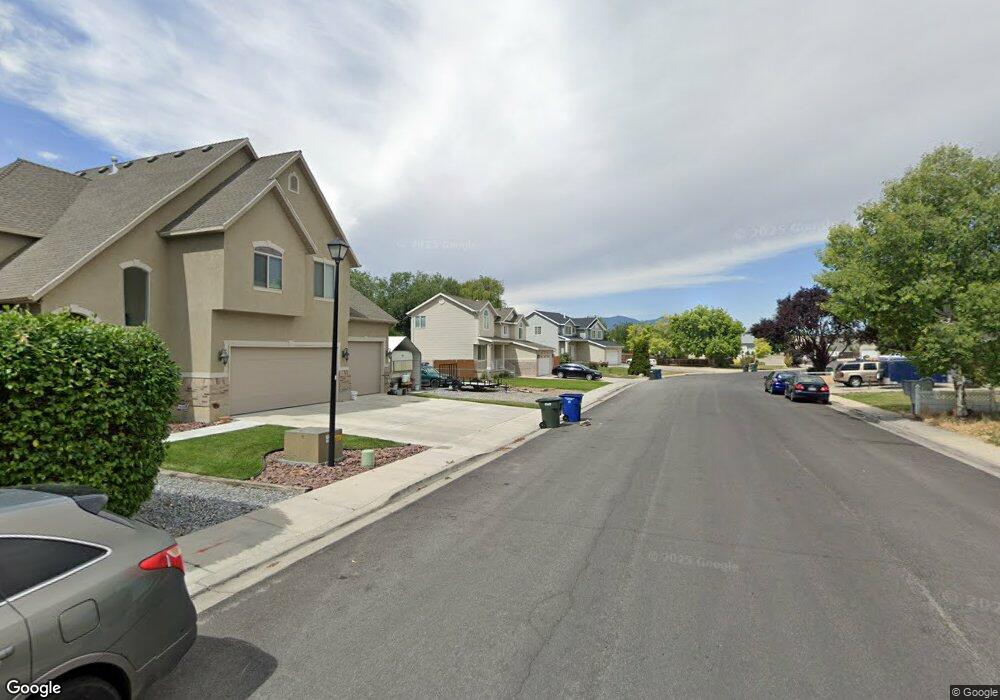
2255 Red Robin Rd Salt Lake City, UT 84119
Redwood NeighborhoodEstimated Value: $499,000 - $519,676
4
Beds
3
Baths
1,924
Sq Ft
$265/Sq Ft
Est. Value
About This Home
This home is located at 2255 Red Robin Rd, Salt Lake City, UT 84119 and is currently estimated at $509,419, approximately $264 per square foot. 2255 Red Robin Rd is a home located in Salt Lake County with nearby schools including Taylorsville Elementary School, Eisenhower Jr High School, and Taylorsville High School.
Ownership History
Date
Name
Owned For
Owner Type
Purchase Details
Closed on
Jun 13, 2017
Sold by
Morgan Morris E
Bought by
Morgan Morris and The Morgan Family Revocable Trust
Current Estimated Value
Purchase Details
Closed on
Apr 10, 2017
Sold by
Hale Richard and Hale Kamilla
Bought by
Mcfall Peter M and Mcfall Lust Aipovl
Purchase Details
Closed on
Mar 22, 2017
Sold by
Mcfall Peter M
Bought by
Morgan Morris E
Purchase Details
Closed on
Apr 1, 2003
Sold by
Hale Robert
Bought by
Mcfall Peter M and Mcfall Lusi Aipovi
Home Financials for this Owner
Home Financials are based on the most recent Mortgage that was taken out on this home.
Original Mortgage
$166,250
Interest Rate
5.78%
Create a Home Valuation Report for This Property
The Home Valuation Report is an in-depth analysis detailing your home's value as well as a comparison with similar homes in the area
Home Values in the Area
Average Home Value in this Area
Purchase History
| Date | Buyer | Sale Price | Title Company |
|---|---|---|---|
| Morgan Morris | -- | None Available | |
| Mcfall Peter M | -- | None Available | |
| Morgan Morris E | -- | Mountainland Title Ins Agcy | |
| Mcfall Peter M | -- | 1St National Title Ins Agenc |
Source: Public Records
Mortgage History
| Date | Status | Borrower | Loan Amount |
|---|---|---|---|
| Previous Owner | Mcfall Peter M | $166,250 |
Source: Public Records
Tax History Compared to Growth
Tax History
| Year | Tax Paid | Tax Assessment Tax Assessment Total Assessment is a certain percentage of the fair market value that is determined by local assessors to be the total taxable value of land and additions on the property. | Land | Improvement |
|---|---|---|---|---|
| 2025 | $3,163 | $511,400 | $133,900 | $377,500 |
| 2024 | $3,163 | $484,500 | $127,300 | $357,200 |
| 2023 | $3,058 | $448,600 | $122,400 | $326,200 |
| 2022 | $0 | $438,800 | $119,900 | $318,900 |
| 2021 | $2,653 | $350,700 | $92,300 | $258,400 |
| 2020 | $2,463 | $307,300 | $83,900 | $223,400 |
| 2019 | $2,516 | $302,700 | $83,900 | $218,800 |
| 2018 | $2,410 | $279,400 | $83,900 | $195,500 |
| 2017 | $2,342 | $276,300 | $81,100 | $195,200 |
| 2016 | $2,102 | $248,400 | $81,100 | $167,300 |
| 2015 | $1,981 | $222,900 | $79,600 | $143,300 |
| 2014 | $1,939 | $213,700 | $77,100 | $136,600 |
Source: Public Records
Map
Nearby Homes
- 2140 W 3860 S
- 2121 W 4100 S
- 3583 S Byde-A-while Rd
- 4077 Tralee Cir
- 2409 W Hardrock Dr
- 2221 W Davenshire Ln
- 2595 W 3800 S
- 1854 W 4100 S
- 3685 S 2200 W Unit 79
- 2258 W 4185 S
- 4107 S Greyhackle Ln
- 4111 S Greyhackle Ln
- 3671 S 2200 W Unit 1
- 3673 S 2200 W Unit 15
- 2451 Hard Rock Cir S
- 2318 W 4220 S
- 2754 W 3835 S
- 2267 W 4240 S
- 4153 S 2700 W Unit 1G
- 2507 W Dutch Draw
- 2255 W Red Robin Rd
- 2273 Red Robin Rd
- 2250 Red Robin Rd
- 2250 W Red Robin Rd
- 2291 Red Robin Rd
- 3925 S Redhawk Rd
- 2268 W Red Robin Rd
- 2226 Red Robin Rd
- 3918 S 2200 W
- 3918 S 2200 W
- 2268 Red Robin Rd
- 3925 Red Hawk Rd
- 3925 Red Hawk Rd W
- 3933 S Redhawk Rd
- 2226 W 3910 S
- 3933 Red Hawk Rd
- 3936 S 2200 W
- 3915 Red Hawk Rd
- 2284 W Red Robin Rd
- 2284 Red Robin Rd