2255 Snook Rd Franklin Furnace, OH 45629
Estimated Value: $157,000 - $331,000
3
Beds
3
Baths
2,000
Sq Ft
$125/Sq Ft
Est. Value
About This Home
This home is located at 2255 Snook Rd, Franklin Furnace, OH 45629 and is currently estimated at $249,976, approximately $124 per square foot. 2255 Snook Rd is a home located in Scioto County with nearby schools including Bloom-Vernon Elementary School and South Webster Junior/Senior High School.
Ownership History
Date
Name
Owned For
Owner Type
Purchase Details
Closed on
Aug 17, 2018
Sold by
Stringer Kristen
Bought by
Smith Timothy
Current Estimated Value
Purchase Details
Closed on
Sep 6, 2017
Sold by
Butler Jonathan David
Bought by
Butler Jonathan David and Nance Abby E
Purchase Details
Closed on
Oct 4, 2016
Sold by
Ditech Financial Llc
Bought by
Stringer Kristen
Purchase Details
Closed on
May 4, 2016
Sold by
Scioto County Sheriff
Bought by
Ditech Financial Llc
Purchase Details
Closed on
Oct 3, 2003
Bought by
Detherage Joe
Purchase Details
Closed on
Jul 8, 1999
Bought by
Detherage Joe R + Bonnie
Purchase Details
Closed on
Mar 26, 1998
Bought by
Anthony Land Co
Purchase Details
Closed on
Mar 25, 1998
Bought by
Anthony Land Co Ltd
Purchase Details
Closed on
Jan 12, 1998
Bought by
Galloway Land Co
Create a Home Valuation Report for This Property
The Home Valuation Report is an in-depth analysis detailing your home's value as well as a comparison with similar homes in the area
Home Values in the Area
Average Home Value in this Area
Purchase History
| Date | Buyer | Sale Price | Title Company |
|---|---|---|---|
| Smith Timothy | $135,000 | None Available | |
| Butler Jonathan David | -- | -- | |
| Butler Jonathan David | $170,000 | -- | |
| Stringer Kristen | $61,500 | Servicelink | |
| Ditech Financial Llc | $20,600 | -- | |
| Detherage Joe | -- | -- | |
| Detherage Joe R + Bonnie | $27,200 | -- | |
| Anthony Land Co | -- | -- | |
| Anthony Land Co Ltd | -- | -- | |
| Galloway Land Co | -- | -- |
Source: Public Records
Tax History Compared to Growth
Tax History
| Year | Tax Paid | Tax Assessment Tax Assessment Total Assessment is a certain percentage of the fair market value that is determined by local assessors to be the total taxable value of land and additions on the property. | Land | Improvement |
|---|---|---|---|---|
| 2024 | $1,341 | $47,230 | $23,410 | $23,820 |
| 2023 | $1,341 | $47,230 | $23,410 | $23,820 |
| 2022 | $1,284 | $47,230 | $23,410 | $23,820 |
| 2021 | $1,202 | $43,150 | $19,920 | $23,230 |
| 2020 | $1,170 | $43,150 | $19,920 | $23,230 |
| 2019 | $1,176 | $37,020 | $18,950 | $18,070 |
| 2018 | $1,562 | $37,020 | $18,950 | $18,070 |
| 2017 | $1,525 | $23,150 | $18,950 | $4,200 |
| 2016 | $490 | $22,720 | $18,110 | $4,610 |
| 2015 | $996 | $22,720 | $18,110 | $4,610 |
| 2013 | $748 | $18,430 | $18,110 | $320 |
Source: Public Records
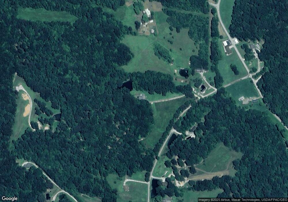
Map
Nearby Homes
- 2170 Snook Rd
- 2053 Snook Rd
- 0 Lick Run Lyra Rd Lot Unit Wp003
- 494 Germany Hollow Rd
- 6173 Ohio 522
- 0 Haney Rd Lot Unit Wp002
- 0 Haney Rd Unit 225025433
- 1318 Haney Rd
- 4235 Ohio 522
- 3754 Ohio 522
- 3272 Big Pete Rd
- 3272 Big Pete Rd Unit A
- 638 Sam Jones Rd Unit 2
- 638 Sam Jones Rd
- 638 Sam Jones Rd
- 0 Lick Run-Lyra Rd
- 0 Patriot Ridge Dr
- 2300 Dogwood Ridge Rd
- 2405 Ridgewood Dr
- 0 Harrison Ave
- 2263 Snook Rd
- 800 Schwamberger Rd
- 2068 Snook Rd
- 2068 Snook Rd
- 3391 Poplar Fork Rd
- 3391 Poplar Fork Rd
- 3273 Poplar Fork Rd
- 1967 Snook Rd
- 2006 Snook Rd
- 3352 Poplar Fork Rd
- 3322 Poplar Fork Rd
- 1955 Snook Rd
- 1955 Snook Rd
- 1955 Snook Rd
- 1955 Snook Rd
- 1955 Snook Rd Unit KO-6
- 3542 Poplar Fork Rd
- 1856 Snook Rd
- 1791 Snook Rd
- 1742 Snook Rd