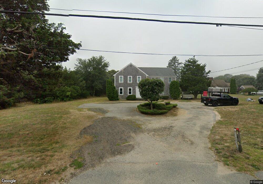
2255 State Hwy Eastham, MA 02642
Estimated Value: $578,000 - $1,119,000
4
Beds
4
Baths
2,496
Sq Ft
$339/Sq Ft
Est. Value
About This Home
This home is located at 2255 State Hwy, Eastham, MA 02642 and is currently estimated at $847,158, approximately $339 per square foot. 2255 State Hwy is a home located in Barnstable County with nearby schools including Eastham Elementary School, Nauset Regional Middle School, and Nauset Regional High School.
Ownership History
Date
Name
Owned For
Owner Type
Purchase Details
Closed on
Sep 29, 2025
Sold by
Hawjer Llc
Bought by
Sj Cape Llc
Current Estimated Value
Purchase Details
Closed on
Oct 26, 2022
Sold by
Winer Howard A
Bought by
Hawjer Llc
Purchase Details
Closed on
Jul 12, 1990
Sold by
Smith Floyd F
Bought by
Maclellan James
Home Financials for this Owner
Home Financials are based on the most recent Mortgage that was taken out on this home.
Original Mortgage
$150,000
Interest Rate
10.17%
Mortgage Type
Purchase Money Mortgage
Create a Home Valuation Report for This Property
The Home Valuation Report is an in-depth analysis detailing your home's value as well as a comparison with similar homes in the area
Home Values in the Area
Average Home Value in this Area
Purchase History
| Date | Buyer | Sale Price | Title Company |
|---|---|---|---|
| Sj Cape Llc | -- | -- | |
| Hawjer Llc | -- | None Available | |
| Maclellan James | $50,000 | -- |
Source: Public Records
Mortgage History
| Date | Status | Borrower | Loan Amount |
|---|---|---|---|
| Previous Owner | Maclellan James | $101,000 | |
| Previous Owner | Maclellan James | $123,900 | |
| Previous Owner | Maclellan James | $130,000 | |
| Previous Owner | Maclellan James | $150,000 |
Source: Public Records
Tax History
| Year | Tax Paid | Tax Assessment Tax Assessment Total Assessment is a certain percentage of the fair market value that is determined by local assessors to be the total taxable value of land and additions on the property. | Land | Improvement |
|---|---|---|---|---|
| 2025 | $4,872 | $631,900 | $168,700 | $463,200 |
| 2024 | $4,302 | $613,700 | $163,800 | $449,900 |
| 2023 | $3,935 | $543,500 | $151,600 | $391,900 |
| 2022 | $3,719 | $433,400 | $135,400 | $298,000 |
| 2021 | $3,510 | $382,300 | $123,100 | $259,200 |
| 2020 | $3,211 | $368,200 | $125,600 | $242,600 |
| 2019 | $2,974 | $360,500 | $121,900 | $238,600 |
| 2018 | $2,750 | $329,400 | $118,400 | $211,000 |
| 2017 | $2,571 | $325,500 | $116,100 | $209,400 |
| 2016 | $2,395 | $321,900 | $116,100 | $205,800 |
| 2015 | $2,227 | $313,700 | $113,800 | $199,900 |
Source: Public Records
Map
Nearby Homes
- 2705 State Hwy
- 2705 State Hwy Unit 1-8
- 55 Grandfathers Way
- 330 Hay Rd
- 1061 State Hwy Unit 4
- 1061 State Hwy Unit 1061
- 25 Twin Rocks Dr
- 300 School House Rd
- 70 Deerfield Ln
- 20 Kittiwake Ln
- 46 Freeman Ln
- 82 Old Orchard Rd
- 315 Candlewood Dr
- 600 Kingsbury Beach Rd
- 25 Forrest Ave
- 10 Cartway N
- 20 Billingsgate Ave
- 343 Tonset Rd
- 320 State Hwy
- 40 Bayview Rd
- 2265 State Hwy
- 2225 State Hwy
- 2225 State Hwy Unit 1
- 2221 State Hwy
- 2275 State Hwy
- 1 Rabbit Run
- 2219 State Hwy
- 2219 State Hwy Unit 4
- 2199 State Hwy Unit 10
- 2195 State Hwy
- 2199 State Hwy
- 2205 State Hwy
- 2203 State Hwy
- 2203 State Hwy Unit 8
- 2199 State Hgwy Unit 10
- 2199 State #10 Unit 10
- 2195 State Hwy Unit 17-19
- 2195 State Hwy Unit 17
- 2195 State Hwy Unit 17,18
- 25 Van Dale Ave
Your Personal Tour Guide
Ask me questions while you tour the home.