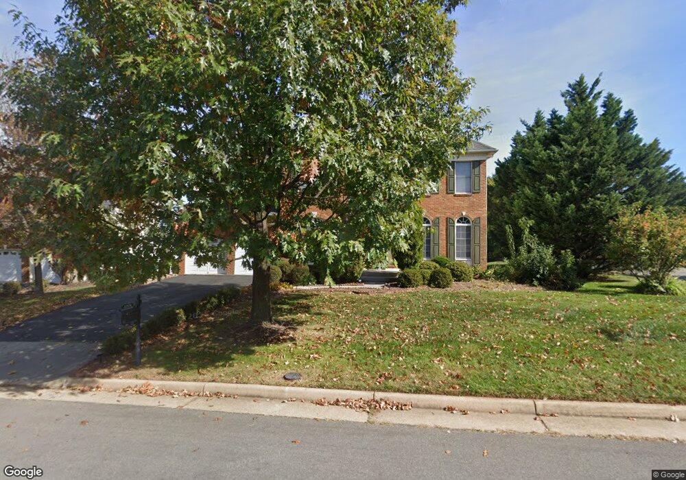
22556 Hillsboro Hunt Dr Ashburn, VA 20148
Estimated Value: $1,137,000 - $1,207,000
4
Beds
4
Baths
3,404
Sq Ft
$344/Sq Ft
Est. Value
About This Home
This home is located at 22556 Hillsboro Hunt Dr, Ashburn, VA 20148 and is currently estimated at $1,171,967, approximately $344 per square foot. 22556 Hillsboro Hunt Dr is a home located in Loudoun County with nearby schools including Moorefield Station Elementary School and Rock Ridge High School.
Ownership History
Date
Name
Owned For
Owner Type
Purchase Details
Closed on
Sep 12, 2002
Sold by
Loudoun Valley Assocs
Bought by
Choi Jungyill
Current Estimated Value
Home Financials for this Owner
Home Financials are based on the most recent Mortgage that was taken out on this home.
Original Mortgage
$300,700
Outstanding Balance
$127,810
Interest Rate
6.48%
Estimated Equity
$1,044,157
Create a Home Valuation Report for This Property
The Home Valuation Report is an in-depth analysis detailing your home's value as well as a comparison with similar homes in the area
Home Values in the Area
Average Home Value in this Area
Purchase History
| Date | Buyer | Sale Price | Title Company |
|---|---|---|---|
| Choi Jungyill | $487,513 | -- |
Source: Public Records
Mortgage History
| Date | Status | Borrower | Loan Amount |
|---|---|---|---|
| Open | Choi Jungyill | $300,700 |
Source: Public Records
Tax History Compared to Growth
Tax History
| Year | Tax Paid | Tax Assessment Tax Assessment Total Assessment is a certain percentage of the fair market value that is determined by local assessors to be the total taxable value of land and additions on the property. | Land | Improvement |
|---|---|---|---|---|
| 2025 | $8,855 | $1,100,030 | $331,000 | $769,030 |
| 2024 | $8,608 | $995,130 | $311,000 | $684,130 |
| 2023 | $8,768 | $1,002,000 | $271,000 | $731,000 |
| 2022 | $8,062 | $905,850 | $270,600 | $635,250 |
| 2021 | $7,400 | $755,150 | $235,600 | $519,550 |
| 2020 | $7,348 | $709,940 | $225,600 | $484,340 |
| 2019 | $7,321 | $700,550 | $225,600 | $474,950 |
| 2018 | $7,213 | $664,800 | $210,600 | $454,200 |
| 2017 | $7,210 | $640,880 | $210,600 | $430,280 |
| 2016 | $7,249 | $633,140 | $0 | $0 |
| 2015 | $7,287 | $431,460 | $0 | $431,460 |
| 2014 | $7,009 | $424,800 | $0 | $424,800 |
Source: Public Records
Map
Nearby Homes
- 22528 Wilson View Terrace
- 22477 Foundation Dr
- 22381 Roanoke Rise Terrace
- 22361 Roanoke Rise Terrace
- 43361 Radford Divide Terrace
- 22315 Tees Terrace
- 43837 Kingston Station Terrace
- 43841 Centergate Dr
- 22275 Sims Terrace
- 43466 Grandmoore St
- 43400 Apple Orchard Square
- 43116 Unison Knoll Cir
- 22131 Little Mount Terrace
- 43437 Monroe Crest Terrace
- 22088 Midmoore Dr
- 22133 Little Mount Terrace
- 22141 Midmoore Dr
- 22153 Midmoore Dr
- 22116 Little Mount Terrace
- 22122 Little Mount Terrace
- 22552 Hillsboro Hunt Dr
- 22561 Howardsville Woods Ct
- 22557 Howardsville Woods Ct
- 43573 Lucketts Bridge Cir
- 43569 Lucketts Bridge Cir
- 22548 Hillsboro Hunt Dr
- 22557 Hillsboro Hunt Dr
- 22553 Hillsboro Hunt Dr
- 43565 Lucketts Bridge Cir
- 22553 Howardsville Woods Ct
- 22593 Lovettsville Knoll Ct
- 22549 Hillsboro Hunt Dr
- 22544 Hillsboro Hunt Dr
- 43561 Lucketts Bridge Cir
- 22560 Howardsville Woods Ct
- 22572 Middleburg Chapel Ct
- 43581 Lucketts Bridge Cir
- 22568 Middleburg Chapel Ct
- 22556 Howardsville Woods Ct
- 22597 Lovettsville Knoll Ct