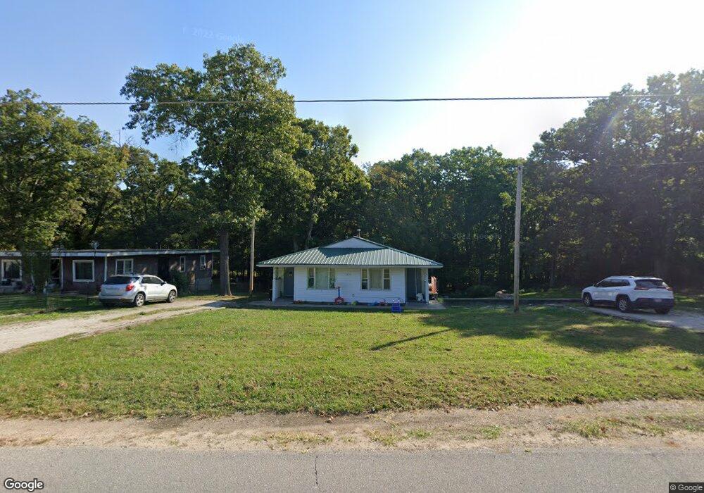
22570 Harlan Ln Saint Robert, MO 65584
Estimated Value: $109,000 - $241,000
2
Beds
1
Bath
--
Sq Ft
0.6
Acres
About This Home
This home is located at 22570 Harlan Ln, Saint Robert, MO 65584 and is currently estimated at $157,033. 22570 Harlan Ln is a home located in Pulaski County with nearby schools including Freedom Elementary School, Waynesville East Elementary School, and Waynesville Sixth Grade Center.
Ownership History
Date
Name
Owned For
Owner Type
Purchase Details
Closed on
Jun 10, 2022
Bought by
Dickinson Austin
Current Estimated Value
Purchase Details
Closed on
Sep 7, 2012
Sold by
Lowe Kimberly F
Bought by
Cassels Randel Charles
Home Financials for this Owner
Home Financials are based on the most recent Mortgage that was taken out on this home.
Original Mortgage
$44,925
Interest Rate
3.49%
Mortgage Type
New Conventional
Purchase Details
Closed on
Sep 29, 2011
Sold by
Lowe Kimberly F and Lowe David M
Bought by
Lowe Kimberly F
Create a Home Valuation Report for This Property
The Home Valuation Report is an in-depth analysis detailing your home's value as well as a comparison with similar homes in the area
Home Values in the Area
Average Home Value in this Area
Purchase History
| Date | Buyer | Sale Price | Title Company |
|---|---|---|---|
| Dickinson Austin | -- | -- | |
| Cassels Randel Charles | -- | None Available | |
| Lowe Kimberly F | -- | None Available |
Source: Public Records
Mortgage History
| Date | Status | Borrower | Loan Amount |
|---|---|---|---|
| Previous Owner | Cassels Randel Charles | $44,925 |
Source: Public Records
Tax History Compared to Growth
Tax History
| Year | Tax Paid | Tax Assessment Tax Assessment Total Assessment is a certain percentage of the fair market value that is determined by local assessors to be the total taxable value of land and additions on the property. | Land | Improvement |
|---|---|---|---|---|
| 2024 | $554 | $12,729 | $1,663 | $11,066 |
| 2023 | $541 | $12,729 | $1,663 | $11,066 |
| 2022 | $326 | $8,322 | $1,653 | $6,669 |
| 2021 | $323 | $8,322 | $1,653 | $6,669 |
| 2020 | $330 | $12,187 | $0 | $0 |
| 2019 | $330 | $8,322 | $0 | $0 |
| 2018 | $330 | $8,322 | $0 | $0 |
| 2017 | $329 | $12,187 | $0 | $0 |
| 2016 | $313 | $8,320 | $0 | $0 |
| 2015 | -- | $8,320 | $0 | $0 |
| 2014 | $311 | $8,320 | $0 | $0 |
Source: Public Records
Map
Nearby Homes
- 22585 Harlan Ln
- 15895 Hallmark Ln
- 15775 Hallmark Ln
- 117 Creek View Dr
- 16107 Hummingbird Ln
- 111 Greythorn Ct
- 114 Creek View Dr
- 16185 Hershey Rd
- 22150 Haskell Dr
- 22130 Harcor Ln
- 16601 Holland (Tbd) Dr Unit B
- 16868 Hurricane Ln Unit B
- 16719 Holland Dr
- 22780 Halbert Dr
- 15120 Hackney Dr
- 272 Vickie Lynn Ln
- 128 Dogwood Cir
- 15020 Hackney Dr
- 15025 Hackney Dr
- 125 Ridgeview Dr
- 22570 Harlan Ln Unit A&B
- 22570 Harlan Ln
- 22550 Harlan Ln
- 22630 Harlan Ln
- 22520 Harlan Ln
- 22636 Harlan Ln
- 22460 Harlan Ln
- 22640 Harlan Ln
- 22470 Harlan Ln
- 34 Harlan Lane Lot
- 22670 Harlan Ln
- 22725 Harlan Ln
- 16245 Hobo Ln
- 15905 Hardin Ln
- 22730 Harlan Ln
- 0 Lot 1 Woodridge Sub Phase 7 Unit 17029286
- 113 Sandstone Dr
- 57 Tundra Lot
- 0 Unknown Unit 17082458
- 0 Unknown Unit 17082462