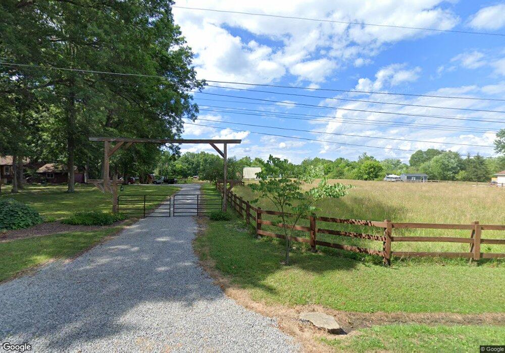
22578 N Benton West Rd Alliance, OH 44601
Estimated Value: $143,000 - $244,000
2
Beds
1
Bath
994
Sq Ft
$202/Sq Ft
Est. Value
About This Home
This home is located at 22578 N Benton West Rd, Alliance, OH 44601 and is currently estimated at $200,351, approximately $201 per square foot. 22578 N Benton West Rd is a home located in Mahoning County with nearby schools including West Branch Middle School, West Branch Early Learning Center, and West Branch High School.
Ownership History
Date
Name
Owned For
Owner Type
Purchase Details
Closed on
Nov 3, 2022
Sold by
Utt Kurtis L
Bought by
Utt Carol A
Current Estimated Value
Purchase Details
Closed on
Feb 19, 1998
Sold by
S L & S Corp
Bought by
Utt Kurtis L and Utt Carol A
Purchase Details
Closed on
May 17, 1976
Bought by
Utt Kurtis and Utt Carol
Create a Home Valuation Report for This Property
The Home Valuation Report is an in-depth analysis detailing your home's value as well as a comparison with similar homes in the area
Home Values in the Area
Average Home Value in this Area
Purchase History
| Date | Buyer | Sale Price | Title Company |
|---|---|---|---|
| Utt Carol A | -- | None Listed On Document | |
| Utt Carol A | -- | None Listed On Document | |
| Utt Kurtis L | $15,000 | -- | |
| Utt Kurtis | -- | -- |
Source: Public Records
Tax History Compared to Growth
Tax History
| Year | Tax Paid | Tax Assessment Tax Assessment Total Assessment is a certain percentage of the fair market value that is determined by local assessors to be the total taxable value of land and additions on the property. | Land | Improvement |
|---|---|---|---|---|
| 2024 | $1,991 | $54,840 | $7,660 | $47,180 |
| 2023 | $1,953 | $54,840 | $7,660 | $47,180 |
| 2022 | $1,710 | $43,130 | $6,130 | $37,000 |
| 2021 | $1,712 | $43,130 | $6,130 | $37,000 |
| 2020 | $1,719 | $43,130 | $6,130 | $37,000 |
| 2019 | $1,550 | $36,960 | $6,130 | $30,830 |
| 2018 | $1,543 | $36,960 | $6,130 | $30,830 |
| 2017 | $1,540 | $36,960 | $6,130 | $30,830 |
| 2016 | $1,453 | $35,060 | $7,110 | $27,950 |
| 2015 | $1,410 | $35,060 | $7,110 | $27,950 |
| 2014 | $1,417 | $35,060 | $7,110 | $27,950 |
| 2013 | $1,402 | $35,060 | $7,110 | $27,950 |
Source: Public Records
Map
Nearby Homes
- 20871 N Benton Rd W
- 0 Knoll St NE
- 15789 Coalbank St NE
- 15520 Coalbank St NE
- 7374 Virginia Rd
- 10985 Johnson Rd
- 9663 Berlin Heights Dr
- 15995 Elbrook St NE
- 15832 Waverly St NE
- 11310 Webb Ave NE
- 11344 Walnut Ave NE
- 90 N Jefferson St
- 14723 Bolton St NE
- 14422 Sturbridge Rd NE
- 0 Homestead Ave NE
- 0 Johnson Ave NE Unit 5142926
- 652 N Webb Ave
- 11030 12th St
- 105 Hartzell Rd
- 0 Klinger Ave NE
- Lot 6 N Benton Rd W
- 22645 N Benton West Rd
- 22615 N Benton West Rd
- 22498 N Benton Rd W
- 22498 N Benton West Rd
- 22475 N Benton West Rd
- 22539 Smith Northwest Rd
- 22686 N Benton West Rd
- 9590 Oyster Rd
- 9350 Oyster Rd
- 22501 Smith Northwest Rd
- 22695 Smith Northwest Rd
- 22690 Smith Northwest Rd
- 22769 N Benton West Rd
- 22660 Smith Northwest Rd
- 22525 Smith Northwest Rd
- 9367 Oyster Rd
- 22856 Smith Northwest Rd
- 22837 Smith Northwest Rd
- 22895 Smith Northwest Rd