22579 Lanyard St Boca Raton, FL 33428
Boca Winds NeighborhoodEstimated Value: $518,000 - $557,000
3
Beds
2
Baths
1,369
Sq Ft
$395/Sq Ft
Est. Value
About This Home
This home is located at 22579 Lanyard St, Boca Raton, FL 33428 and is currently estimated at $540,161, approximately $394 per square foot. 22579 Lanyard St is a home located in Palm Beach County with nearby schools including Coral Sunset Elementary School, Loggers' Run Community Middle School, and West Boca Raton High School.
Ownership History
Date
Name
Owned For
Owner Type
Purchase Details
Closed on
Jul 2, 2012
Sold by
Corona Vincent J and Corona Phyllis B
Bought by
Mcwatt Deborah K
Current Estimated Value
Home Financials for this Owner
Home Financials are based on the most recent Mortgage that was taken out on this home.
Original Mortgage
$147,283
Interest Rate
3.75%
Mortgage Type
FHA
Create a Home Valuation Report for This Property
The Home Valuation Report is an in-depth analysis detailing your home's value as well as a comparison with similar homes in the area
Home Values in the Area
Average Home Value in this Area
Purchase History
| Date | Buyer | Sale Price | Title Company |
|---|---|---|---|
| Mcwatt Deborah K | $150,000 | Attorney |
Source: Public Records
Mortgage History
| Date | Status | Borrower | Loan Amount |
|---|---|---|---|
| Previous Owner | Mcwatt Deborah K | $147,283 |
Source: Public Records
Tax History Compared to Growth
Tax History
| Year | Tax Paid | Tax Assessment Tax Assessment Total Assessment is a certain percentage of the fair market value that is determined by local assessors to be the total taxable value of land and additions on the property. | Land | Improvement |
|---|---|---|---|---|
| 2024 | $2,590 | $174,961 | -- | -- |
| 2023 | $2,512 | $169,865 | $0 | $0 |
| 2022 | $2,476 | $164,917 | $0 | $0 |
| 2021 | $2,437 | $160,114 | $0 | $0 |
| 2020 | $2,411 | $157,903 | $0 | $0 |
| 2019 | $2,377 | $154,353 | $0 | $0 |
| 2018 | $2,255 | $151,475 | $0 | $0 |
| 2017 | $2,207 | $148,359 | $0 | $0 |
| 2016 | $2,204 | $145,308 | $0 | $0 |
| 2015 | $2,253 | $144,298 | $0 | $0 |
| 2014 | $2,257 | $143,153 | $0 | $0 |
Source: Public Records
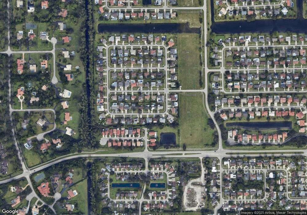
Map
Nearby Homes
- 11188 Sandpoint Terrace
- 11233 Model Cir W
- 10770 Fox Glen Dr
- 11331 Sundance Ln
- 11831 Bay Place
- 22761 Neptune Rd
- 11866 Bay Place
- 11224 Sacco Dr
- 22943 Sandalfoot Blvd
- 22306 Timberly Dr
- 22335 Boulder St
- 22295 Timberly Dr Unit A
- 22581 Vistawood Way
- 10935 Gable St
- 11609 Orange Blossom Ln Unit 7A
- 10690 Ember St
- 22303 Misty Woods Way
- 22057 Woodset Way
- 10748 N Branch Rd
- 11636 Venetian Ave
- 22589 Lanyard St
- 11106 Landsman St
- 22571 Lanyard St
- 22580 Lanyard St
- 22576 Lanyard St
- 22599 Landsman St
- 11138 Landsman St
- 22584 Lanyard St
- 22572 Lanyard St
- 22567 Lanyard St
- 22596 Lombard Ave
- 22592 Lombard Ave
- 22568 Lanyard St
- 11154 Landsman St
- 22588 Lanyard St
- 22600 Lombard Ave
- 11107 Landsman St
- 11123 Landsman St
- 11091 Landsman St
- 11137 Landsman St