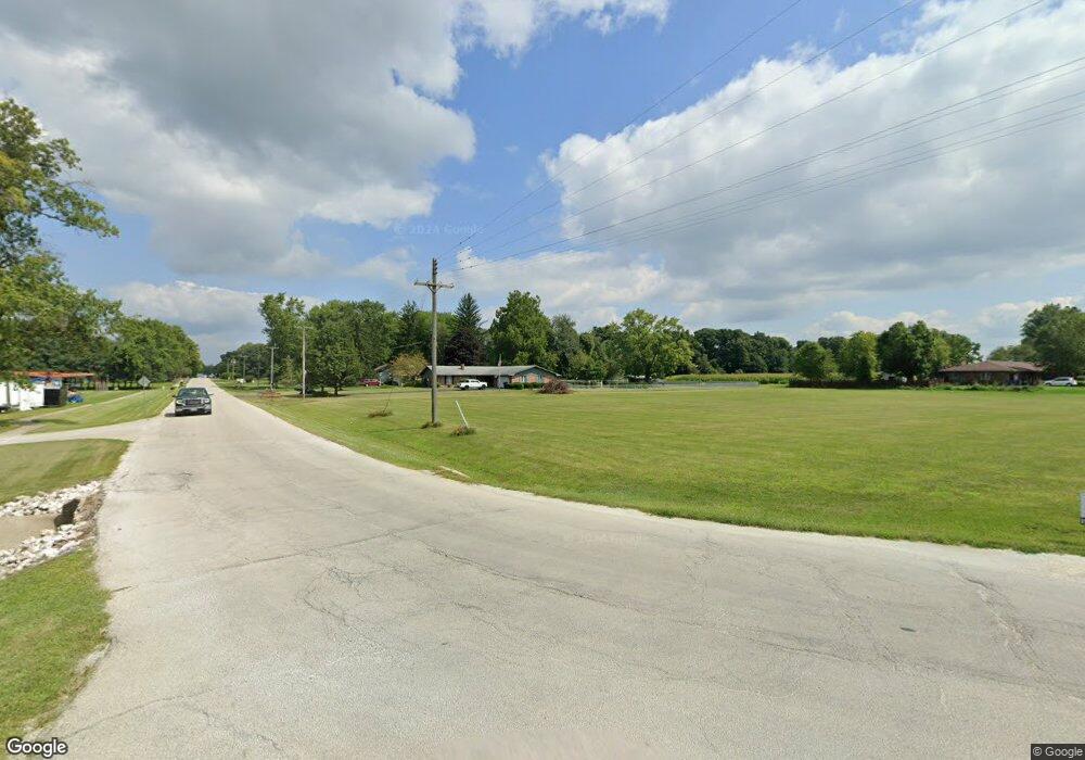
2258 E 1730 North Rd Watseka, IL 60970
Estimated Value: $70,000 - $1,134,000
--
Bed
--
Bath
--
Sq Ft
7.03
Acres
About This Home
This home is located at 2258 E 1730 North Rd, Watseka, IL 60970 and is currently estimated at $361,086. 2258 E 1730 North Rd is a home with nearby schools including Wanda Kendall Elementary School, Nettie Davis Elementary School, and Watseka Community High School.
Ownership History
Date
Name
Owned For
Owner Type
Purchase Details
Closed on
Jul 3, 2025
Sold by
Bitten Charles J
Bought by
Mcnally Edward E and Mcnally George Samantha
Current Estimated Value
Purchase Details
Closed on
Nov 25, 2020
Sold by
Midland States Bank
Bought by
Bitten Charles J
Purchase Details
Closed on
Apr 2, 2019
Sold by
Barry Joan
Bought by
Trust Number 1820 and Homestar Bank And Financial Services
Purchase Details
Closed on
Oct 1, 2008
Bought by
Bitten-Bavlsik Charlotte
Create a Home Valuation Report for This Property
The Home Valuation Report is an in-depth analysis detailing your home's value as well as a comparison with similar homes in the area
Home Values in the Area
Average Home Value in this Area
Purchase History
| Date | Buyer | Sale Price | Title Company |
|---|---|---|---|
| Mcnally Edward E | $70,000 | None Listed On Document | |
| Bitten Charles J | -- | None Listed On Document | |
| Trust Number 1820 | $62,500 | None Available | |
| Bitten-Bavlsik Charlotte | $155,000 | -- |
Source: Public Records
Tax History Compared to Growth
Tax History
| Year | Tax Paid | Tax Assessment Tax Assessment Total Assessment is a certain percentage of the fair market value that is determined by local assessors to be the total taxable value of land and additions on the property. | Land | Improvement |
|---|---|---|---|---|
| 2024 | $1,773 | $24,450 | $11,450 | $13,000 |
| 2023 | $1,773 | $32,940 | $10,130 | $22,810 |
| 2022 | $2,423 | $31,670 | $9,740 | $21,930 |
| 2021 | $2,189 | $28,750 | $8,840 | $19,910 |
| 2020 | $2,121 | $27,570 | $8,480 | $19,090 |
| 2019 | $2,053 | $26,667 | $8,200 | $18,467 |
| 2018 | $1,927 | $49,800 | $7,990 | $41,810 |
| 2017 | $4,003 | $48,920 | $7,850 | $41,070 |
| 2016 | $4,043 | $48,920 | $7,850 | $41,070 |
| 2015 | $3,767 | $48,310 | $7,750 | $40,560 |
| 2014 | $3,767 | $47,430 | $7,610 | $39,820 |
| 2013 | $3,943 | $49,520 | $7,950 | $41,570 |
Source: Public Records
Map
Nearby Homes
- 911 E Locust St
- 609 E Porter Ave
- 745 E Oak St
- 601 E Porter Ave
- 538 E Mulberry St
- 707 E Ash St
- 704 E Ash St
- 466 E Cherry St
- 516 E Locust St
- 1883 N 2270 Rd E
- 551 N Clarence Ave
- 428 E Cherry St
- 441 E Walnut St
- 525 E Hickory St
- 427 E Oak St
- 330 E Locust St
- 308 E Mulberry St
- 905 S 4th St
- 320 E Locust St
- 465 E Ash St
- 2258 E County Farm Rd
- 2373 E County Farm Rd
- 2229 E 1730 North Rd
- 2229 E County Farm Rd
- 2257 E 1760 North Rd
- 2257 E 1760 North Rd
- 1 Corbett Dr
- 7 Corbett Dr
- 6 Corbett Dr
- 2 Corbett Dr
- 1682 N State Route 1
- 5 Corbett Dr
- 2268 E 1680 North Rd
- 2274 E 1680 North Rd
- 2268 E 1675 North Rd
- 2270 E 1675 North Rd
- 2274 E 1675 Rd N
- 2274 E 1675 North Rd
- 2263 E 1675 North Rd
- 2267 E 1675 North Rd
