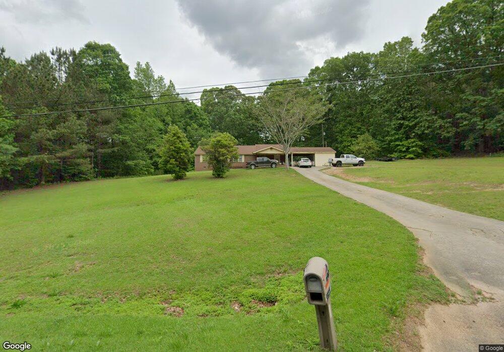
2258 S Highway 16 Carrollton, GA 30116
Estimated Value: $253,149 - $374,000
3
Beds
2
Baths
1,797
Sq Ft
$171/Sq Ft
Est. Value
About This Home
This home is located at 2258 S Highway 16, Carrollton, GA 30116 and is currently estimated at $307,787, approximately $171 per square foot. 2258 S Highway 16 is a home located in Carroll County with nearby schools including Central Elementary School, Central Middle School, and Central High School.
Ownership History
Date
Name
Owned For
Owner Type
Purchase Details
Closed on
Aug 31, 2022
Sold by
Burson Kathy
Bought by
Jiles Deborah
Current Estimated Value
Purchase Details
Closed on
Feb 4, 2014
Sold by
Jiles Ellen P
Bought by
Burson Kathy and Jiles Deborah
Purchase Details
Closed on
May 24, 2007
Sold by
Jiles Monty P
Bought by
Jiles Ellen P
Purchase Details
Closed on
May 23, 2007
Sold by
Jiles Monty P
Bought by
Jiles Ellen P
Purchase Details
Closed on
Sep 15, 1982
Bought by
Jiles Monty C
Create a Home Valuation Report for This Property
The Home Valuation Report is an in-depth analysis detailing your home's value as well as a comparison with similar homes in the area
Home Values in the Area
Average Home Value in this Area
Purchase History
| Date | Buyer | Sale Price | Title Company |
|---|---|---|---|
| Jiles Deborah | -- | -- | |
| Burson Kathy | -- | -- | |
| Jiles Ellen P | -- | -- | |
| Jiles Ellen P | -- | -- | |
| Jiles Monty C | -- | -- |
Source: Public Records
Tax History Compared to Growth
Tax History
| Year | Tax Paid | Tax Assessment Tax Assessment Total Assessment is a certain percentage of the fair market value that is determined by local assessors to be the total taxable value of land and additions on the property. | Land | Improvement |
|---|---|---|---|---|
| 2024 | $209 | $88,248 | $28,491 | $59,757 |
| 2023 | $209 | $77,276 | $22,793 | $54,483 |
| 2022 | $250 | $58,906 | $15,195 | $43,711 |
| 2021 | $1,107 | $49,819 | $12,156 | $37,663 |
| 2020 | $1,023 | $45,130 | $11,051 | $34,079 |
| 2019 | $991 | $42,912 | $11,051 | $31,861 |
| 2018 | $940 | $39,806 | $10,328 | $29,478 |
| 2017 | $943 | $39,806 | $10,328 | $29,478 |
| 2016 | $943 | $39,806 | $10,328 | $29,478 |
| 2015 | $779 | $31,871 | $12,463 | $19,408 |
| 2014 | $895 | $31,871 | $12,463 | $19,408 |
Source: Public Records
Map
Nearby Homes
- 143 Oak Leaf Dr Unit 163
- 143 Oak Leaf Dr
- 0 Clem Lowell Rd Unit 10479926
- 0 Clem Lowell Rd Unit 147578
- 0 Clem Lowell Rd Unit 7630669
- 185 White Oak Ct
- 40 Westbrook Rd
- 197 Westbrook Rd
- 106 Victoria Way
- 106 Victoria Vining
- 2181 2201 Star Point
- 184 Whooping Creek Church Rd
- 252 Mink Hollow Dr
- 2716 Georgia 16
- 311 Hidden Lakes Dr
- 391 Foggy Bottom Dr
- 158 Foggy Bottom Dr
- 2800 Georgia 16
- 2800 Sr 16
- 0 Cross Plains Rd Unit 10644288
- 130 Gladney Dr
- 112 Gladney Dr
- 2251 S Highway 16
- 38 Clock Rd
- 94 Gladney Dr
- 133 Gladney Dr
- 36 Woodcrest Ln
- 103 Gladney Dr
- 78 Gladney Dr
- 158 Gladney Dr
- 28 Clock Rd
- 151 Gladney Dr
- 28 Poplar St
- 75 Gladney Dr
- 2291 S Highway 16
- 0 Gladney Dr Unit 7472813
- 0 Gladney Dr Unit 7239304
- 0 Gladney Dr Unit 3199150
- 0 Gladney Dr Unit 8698005
- 0 Gladney Dr Unit 7140266