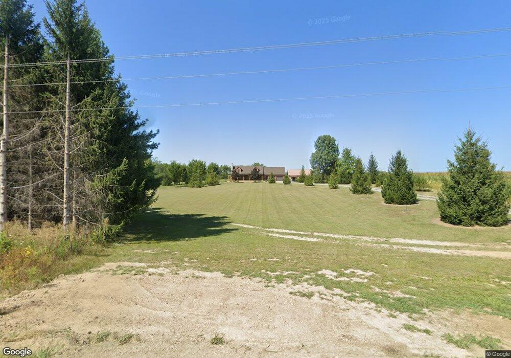
22582 Road U20 Delphos, OH 45833
Estimated Value: $234,000 - $402,000
--
Bed
3
Baths
1,280
Sq Ft
$253/Sq Ft
Est. Value
About This Home
This home is located at 22582 Road U20, Delphos, OH 45833 and is currently estimated at $323,745, approximately $252 per square foot. 22582 Road U20 is a home located in Putnam County with nearby schools including Fort Jennings Elementary School, Fort Jennings High School, and Delphos St. John's High School.
Ownership History
Date
Name
Owned For
Owner Type
Purchase Details
Closed on
May 7, 2018
Sold by
Mesker Kevin J
Bought by
Mesker Kevin J and Mesker Marissa M
Current Estimated Value
Home Financials for this Owner
Home Financials are based on the most recent Mortgage that was taken out on this home.
Original Mortgage
$110,000
Interest Rate
4.44%
Mortgage Type
New Conventional
Purchase Details
Closed on
Apr 5, 2018
Sold by
Mesker Amy M
Bought by
Mesker Kevin J
Home Financials for this Owner
Home Financials are based on the most recent Mortgage that was taken out on this home.
Original Mortgage
$110,000
Interest Rate
4.44%
Mortgage Type
New Conventional
Create a Home Valuation Report for This Property
The Home Valuation Report is an in-depth analysis detailing your home's value as well as a comparison with similar homes in the area
Home Values in the Area
Average Home Value in this Area
Purchase History
| Date | Buyer | Sale Price | Title Company |
|---|---|---|---|
| Mesker Kevin J | -- | None Available | |
| Mesker Kevin J | -- | None Available |
Source: Public Records
Mortgage History
| Date | Status | Borrower | Loan Amount |
|---|---|---|---|
| Closed | Mesker Kevin J | $110,000 |
Source: Public Records
Tax History Compared to Growth
Tax History
| Year | Tax Paid | Tax Assessment Tax Assessment Total Assessment is a certain percentage of the fair market value that is determined by local assessors to be the total taxable value of land and additions on the property. | Land | Improvement |
|---|---|---|---|---|
| 2024 | $2,810 | $97,080 | $11,830 | $85,250 |
| 2023 | $2,896 | $76,320 | $8,450 | $67,870 |
| 2022 | $2,530 | $76,318 | $8,449 | $67,869 |
| 2021 | $2,558 | $76,780 | $8,449 | $68,331 |
| 2020 | $2,558 | $54,410 | $7,380 | $47,030 |
| 2019 | $2,232 | $67,190 | $8,450 | $58,740 |
| 2018 | $2,212 | $67,190 | $8,450 | $58,740 |
| 2017 | $1,805 | $67,190 | $8,450 | $58,740 |
| 2016 | $1,805 | $54,410 | $7,380 | $47,030 |
| 2015 | $1,981 | $54,410 | $7,380 | $47,030 |
| 2014 | $2,003 | $54,410 | $7,380 | $47,030 |
| 2013 | $2,044 | $54,410 | $7,380 | $47,030 |
Source: Public Records
Map
Nearby Homes
- 1220 Rose Anna Dr
- 1303 Carolyn Dr
- 914 E 3rd St
- 650 E 6th St
- 903 E 3rd St
- 821 E 3rd St
- 7110 Elida Rd
- 810 N Franklin St
- 628 N Pierce St
- 704 N Franklin St
- 633 E 2nd St
- 610 N Washington St
- 405 N Franklin St
- 210 E 3rd St
- 503 W 6th St
- 604 W 6th St
- 221 S Main St
- 616 W 5th St
- 409 N Bredeick St
- 508 S Washington St
- 21523 Road 23t
- 21563 Road 23t
- 21604 Road 23t
- 21371 Road 23t
- 21263 Road 23t
- 23087 Road U20
- 21746 Road 23t
- 21759 Road 23-T
- 21759 Road 23t
- 23201 Road U20
- 21821 Road 23t
- 21114 Road 23t
- 23183 Road U20
- 23269 Road U20
- 21948 Road 23t
- 21386 Road 22s
- 21621 Road 23u
- 22407 Road U20
- 21288 Road 22s
- 23357 Road U20