2259 E 560 Rd Locust Grove, OK 74352
Estimated Value: $308,000 - $542,000
3
Beds
2
Baths
3,266
Sq Ft
$125/Sq Ft
Est. Value
About This Home
This home is located at 2259 E 560 Rd, Locust Grove, OK 74352 and is currently estimated at $409,445, approximately $125 per square foot. 2259 E 560 Rd is a home located in Mayes County with nearby schools including Locust Grove Early Lrning Center, Locust Grove Upper Elementary School, and Locust Grove Middle School.
Ownership History
Date
Name
Owned For
Owner Type
Purchase Details
Closed on
Sep 25, 2024
Sold by
Suda Nancy A
Bought by
Suda Nancy A and Weiss Jennifer
Current Estimated Value
Purchase Details
Closed on
Sep 26, 2005
Sold by
Stauffer Bradley G and Stauffer Pearl M
Bought by
Suda Nancy A
Purchase Details
Closed on
Apr 14, 2000
Sold by
Weller Fay T
Bought by
Stauffer Bradley and Stauffer Pearl
Purchase Details
Closed on
Jul 24, 1997
Sold by
Gibson Samuel
Bought by
Weller Fay T
Create a Home Valuation Report for This Property
The Home Valuation Report is an in-depth analysis detailing your home's value as well as a comparison with similar homes in the area
Home Values in the Area
Average Home Value in this Area
Purchase History
| Date | Buyer | Sale Price | Title Company |
|---|---|---|---|
| Suda Nancy A | -- | None Listed On Document | |
| Suda Nancy A | $175,000 | None Available | |
| Stauffer Bradley | $53,000 | -- | |
| Weller Fay T | $28,500 | -- |
Source: Public Records
Tax History Compared to Growth
Tax History
| Year | Tax Paid | Tax Assessment Tax Assessment Total Assessment is a certain percentage of the fair market value that is determined by local assessors to be the total taxable value of land and additions on the property. | Land | Improvement |
|---|---|---|---|---|
| 2025 | $2,132 | $23,922 | $4,052 | $19,870 |
| 2023 | $2,132 | $23,922 | $4,226 | $19,696 |
| 2022 | $2,005 | $23,225 | $4,118 | $19,107 |
| 2021 | $1,986 | $22,549 | $4,118 | $18,431 |
| 2020 | $1,954 | $21,892 | $5,559 | $16,333 |
| 2019 | $2,287 | $25,428 | $4,218 | $21,210 |
| 2018 | $2,333 | $25,428 | $4,218 | $21,210 |
| 2017 | $2,334 | $25,428 | $4,218 | $21,210 |
| 2016 | $2,279 | $25,428 | $4,218 | $21,210 |
| 2015 | $2,352 | $25,428 | $4,218 | $21,210 |
| 2014 | $2,416 | $26,085 | $3,777 | $22,308 |
Source: Public Records
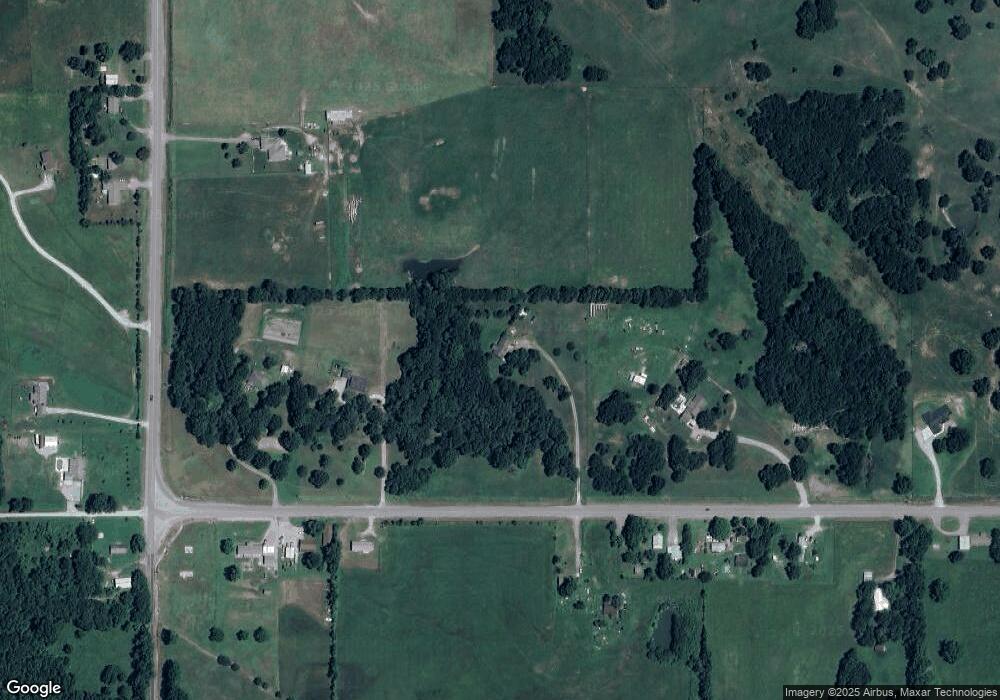
Map
Nearby Homes
- 2940 E 560 Rd
- 1544 E 565
- 1436 E 550
- 7862 S 436
- 0 N 435 Rd Unit 2524163
- 0 N 435 Rd Unit 2545167
- 207 Orange St
- 0 Orange St
- 0 Peach St
- 000 Earl Smith Rd
- 310 W Harrison
- 1 W Ross St
- 212 N Mayes St
- 415 N Broadway
- 381 S 437
- 8604 S County Road 4468
- 301 S Water St
- 00 Hill St
- 10171 U S Highway 412
- 57 Joe Koelsch Dr