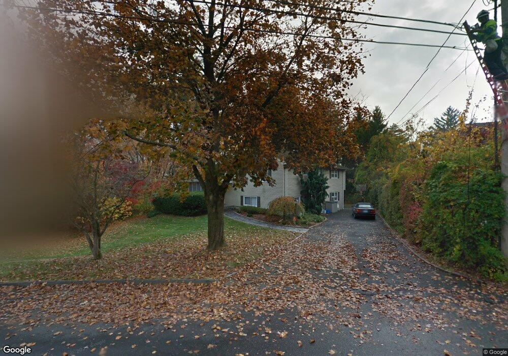
226 Barryscott Dr Fairfield, CT 06825
Fairfield Woods NeighborhoodEstimated Value: $665,000 - $780,000
4
Beds
4
Baths
1,537
Sq Ft
$478/Sq Ft
Est. Value
About This Home
This home is located at 226 Barryscott Dr, Fairfield, CT 06825 and is currently estimated at $734,008, approximately $477 per square foot. 226 Barryscott Dr is a home located in Fairfield County with nearby schools including Jennings Elementary School, Fairfield Woods Middle School, and Fairfield Warde High School.
Ownership History
Date
Name
Owned For
Owner Type
Purchase Details
Closed on
Nov 12, 1998
Sold by
Arison Algird A and Arison Joan S
Bought by
Ficalora Richard S and Ficalora Cynthia L
Current Estimated Value
Create a Home Valuation Report for This Property
The Home Valuation Report is an in-depth analysis detailing your home's value as well as a comparison with similar homes in the area
Home Values in the Area
Average Home Value in this Area
Purchase History
| Date | Buyer | Sale Price | Title Company |
|---|---|---|---|
| Ficalora Richard S | $256,000 | -- | |
| Ficalora Richard S | $256,000 | -- |
Source: Public Records
Mortgage History
| Date | Status | Borrower | Loan Amount |
|---|---|---|---|
| Open | Ficalora Richard S | $204,000 | |
| Closed | Ficalora Richard S | $100,000 | |
| Closed | Ficalora Richard S | $222,200 | |
| Closed | Ficalora Richard S | $245,800 |
Source: Public Records
Tax History Compared to Growth
Tax History
| Year | Tax Paid | Tax Assessment Tax Assessment Total Assessment is a certain percentage of the fair market value that is determined by local assessors to be the total taxable value of land and additions on the property. | Land | Improvement |
|---|---|---|---|---|
| 2025 | $8,913 | $313,950 | $220,220 | $93,730 |
| 2024 | $8,759 | $313,950 | $220,220 | $93,730 |
| 2023 | $8,444 | $306,950 | $220,220 | $86,730 |
| 2022 | $8,361 | $306,950 | $220,220 | $86,730 |
| 2021 | $8,282 | $306,950 | $220,220 | $86,730 |
| 2020 | $7,503 | $280,070 | $189,210 | $90,860 |
| 2019 | $7,503 | $280,070 | $189,210 | $90,860 |
| 2018 | $7,383 | $280,070 | $189,210 | $90,860 |
| 2017 | $7,231 | $280,070 | $189,210 | $90,860 |
| 2016 | $7,128 | $280,070 | $189,210 | $90,860 |
| 2015 | $7,167 | $289,100 | $199,430 | $89,670 |
| 2014 | $7,054 | $289,100 | $199,430 | $89,670 |
Source: Public Records
Map
Nearby Homes
- 706 Judd St
- 270 Oakwood Dr
- 115 Mayfair Rd
- 27 Bloomfield Dr
- 31 High Ridge Rd
- 67 Campfield Dr
- 210 Pansy Rd
- 332 Szost Dr
- 1009 High St
- 152 Roseville St
- 148 Roseville St
- 244 Tunxis Hill Cut Off
- 143 Sawyer Rd
- 3 Old Black Rock Turnpike
- 242 Valleyview Rd
- 359 Reid St
- 162 Country Rd Unit 162
- 24 Warsaw St
- 34 Ridgedale Rd
- 221 Hunyadi Ave
- 240 Barryscott Dr
- 211 Barryscott Dr
- 210 Barryscott Dr
- 191 Barryscott Dr
- 260 Barryscott Dr
- 257 Barryscott Dr
- 192 Barryscott Dr
- 1920 Black Rock Turnpike
- 1910 Black Rock Turnpike
- 1876 Black Rock Turnpike
- 170 Barryscott Dr
- 167 Barryscott Dr
- 286 Barryscott Dr
- 1838 Black Rock Turnpike Unit 209
- 1838 Black Rock Turnpike Unit 304
- 1838 Black Rock Turnpike Unit 210
- 1838 Black Rock Turnpike Unit 307
- 1838 Black Rock Turnpike Unit 207
- 1838 Black Rock Turnpike Unit 211
- 1838 Black Rock Turnpike Unit 306