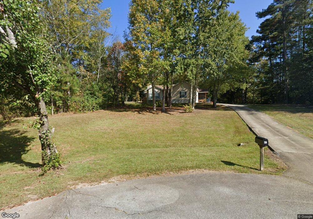
226 Brentwood Dr Demorest, GA 30535
Estimated Value: $292,000 - $332,000
3
Beds
2
Baths
1,210
Sq Ft
$258/Sq Ft
Est. Value
About This Home
This home is located at 226 Brentwood Dr, Demorest, GA 30535 and is currently estimated at $312,111, approximately $257 per square foot. 226 Brentwood Dr is a home located in Habersham County with nearby schools including Fairview Elementary School, South Habersham Middle School, and Habersham Success Academy.
Ownership History
Date
Name
Owned For
Owner Type
Purchase Details
Closed on
Jan 25, 2019
Sold by
Augustine Scott
Bought by
Westmoreland Larry W and Westmoreland Sandy N
Current Estimated Value
Home Financials for this Owner
Home Financials are based on the most recent Mortgage that was taken out on this home.
Original Mortgage
$172,500
Outstanding Balance
$151,658
Interest Rate
4.5%
Estimated Equity
$160,453
Create a Home Valuation Report for This Property
The Home Valuation Report is an in-depth analysis detailing your home's value as well as a comparison with similar homes in the area
Home Values in the Area
Average Home Value in this Area
Purchase History
| Date | Buyer | Sale Price | Title Company |
|---|---|---|---|
| Westmoreland Larry W | $172,500 | -- |
Source: Public Records
Mortgage History
| Date | Status | Borrower | Loan Amount |
|---|---|---|---|
| Open | Westmoreland Larry W | $172,500 |
Source: Public Records
Tax History Compared to Growth
Tax History
| Year | Tax Paid | Tax Assessment Tax Assessment Total Assessment is a certain percentage of the fair market value that is determined by local assessors to be the total taxable value of land and additions on the property. | Land | Improvement |
|---|---|---|---|---|
| 2025 | $739 | $117,460 | $17,600 | $99,860 |
| 2024 | -- | $111,708 | $13,200 | $98,508 |
| 2023 | $1,228 | $94,476 | $13,200 | $81,276 |
| 2022 | $1,596 | $82,772 | $13,200 | $69,572 |
| 2021 | $1,424 | $68,664 | $6,600 | $62,064 |
| 2020 | $1,298 | $57,840 | $6,600 | $51,240 |
| 2019 | $1,185 | $57,840 | $6,600 | $51,240 |
| 2018 | $1,147 | $47,696 | $6,600 | $41,096 |
| 2017 | $1,096 | $43,812 | $6,600 | $37,212 |
| 2016 | $929 | $94,030 | $4,400 | $33,212 |
| 2015 | $918 | $94,030 | $4,400 | $33,212 |
| 2014 | $910 | $91,630 | $4,400 | $32,252 |
| 2013 | -- | $36,652 | $4,400 | $32,252 |
Source: Public Records
Map
Nearby Homes
- 155 Brentwood Dr
- 8.5 +/- Smith Loop
- 183 Golden Valley Dr
- 329 Twisting Ridge Trail
- 264 Canyon Point Dr
- 240 Canyon Point Dr
- 500 Cross Creek Trail
- 161 Twisting Ridge Trail
- 274 Hopes Cir
- 3750 Old Cleveland Rd
- 950 Hancock Rd
- 512 Olde Rockhouse Ln
- LOT 4 Olde Rockhouse Ln
- 0 N Falling Waters Dr Unit LOT 32B
- 1177 Twin River Orchard Rd
- 1070 Cannon Bridge Rd
- 186 Sweetbriar Dr Unit LOT 10
- 186 Sweetbriar Dr
- 4880 Pea Ridge Rd
- 0 Twin River Orchard Rd Unit 7194756
- 220 Brentwood Dr
- 203 Brentwood Dr
- 191 Brentwood Dr
- 192 Brentwood Dr
- 178 Brentwood Dr
- 287 Can-Trail Dr
- 179 Brentwood Dr Unit 12
- 179 Brentwood Dr
- 160 Brentwood Dr
- 1264 Smith Loop
- 960 Smith Loop
- 1358 Smith Loop
- 0 Smith Loop Unit 7274974
- 0 Smith Loop Unit 10196697
- 0 Smith Loop Unit 41B 9064737
- 0 Smith Loop Unit 8740532
- 135 Brentwood Dr
- 140 Brentwood Dr Unit 4
- 140 Brentwood Dr
- 1218 Smith Loop